Download
Preview
Add to list
More
12.2 km
~3 hrs 0 min
336 m
Loop
“Experience vibrant countryside, historical charm, and panoramic views on the moderately challenging Wray to Middle Salter Loop.”
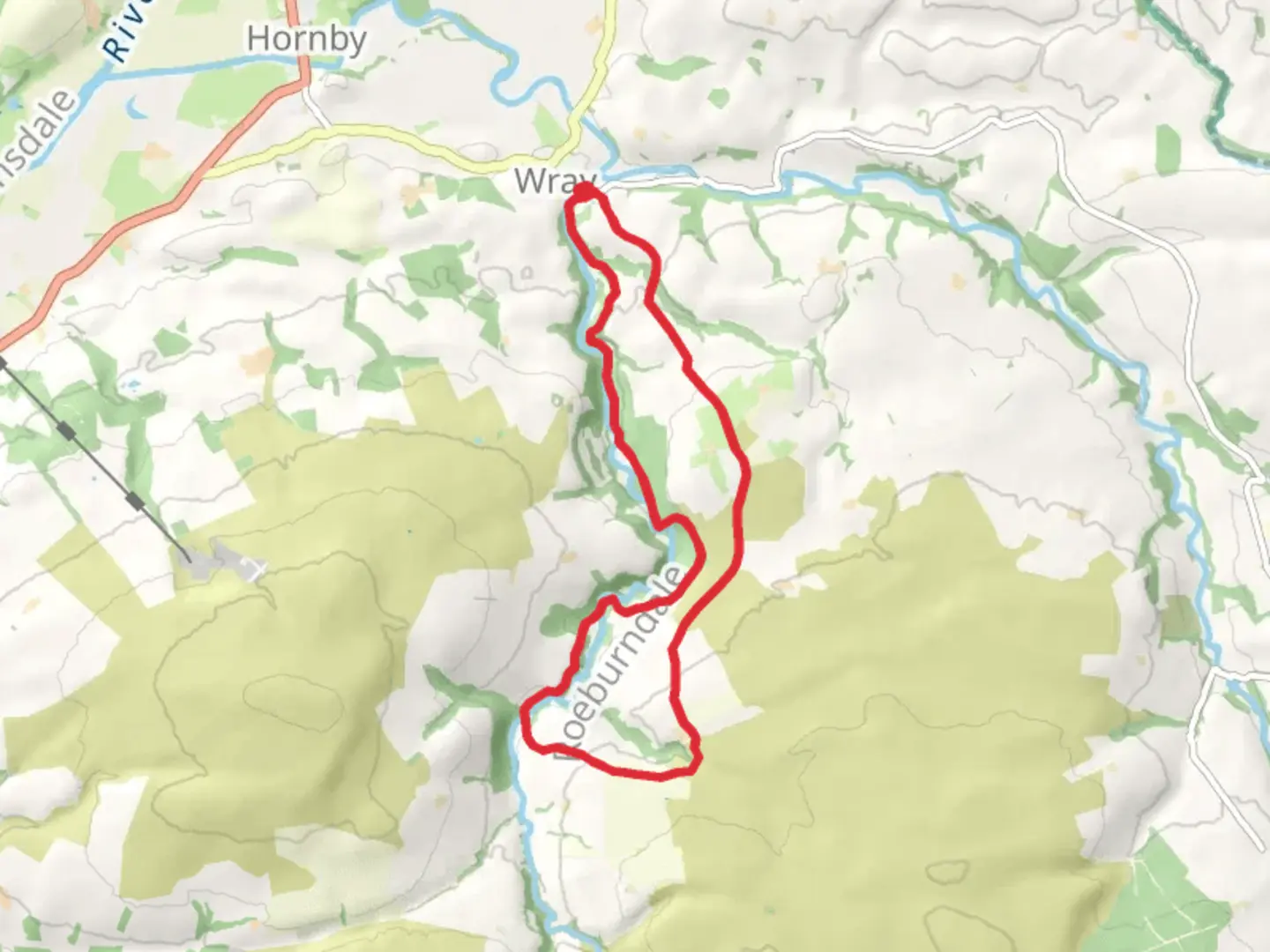
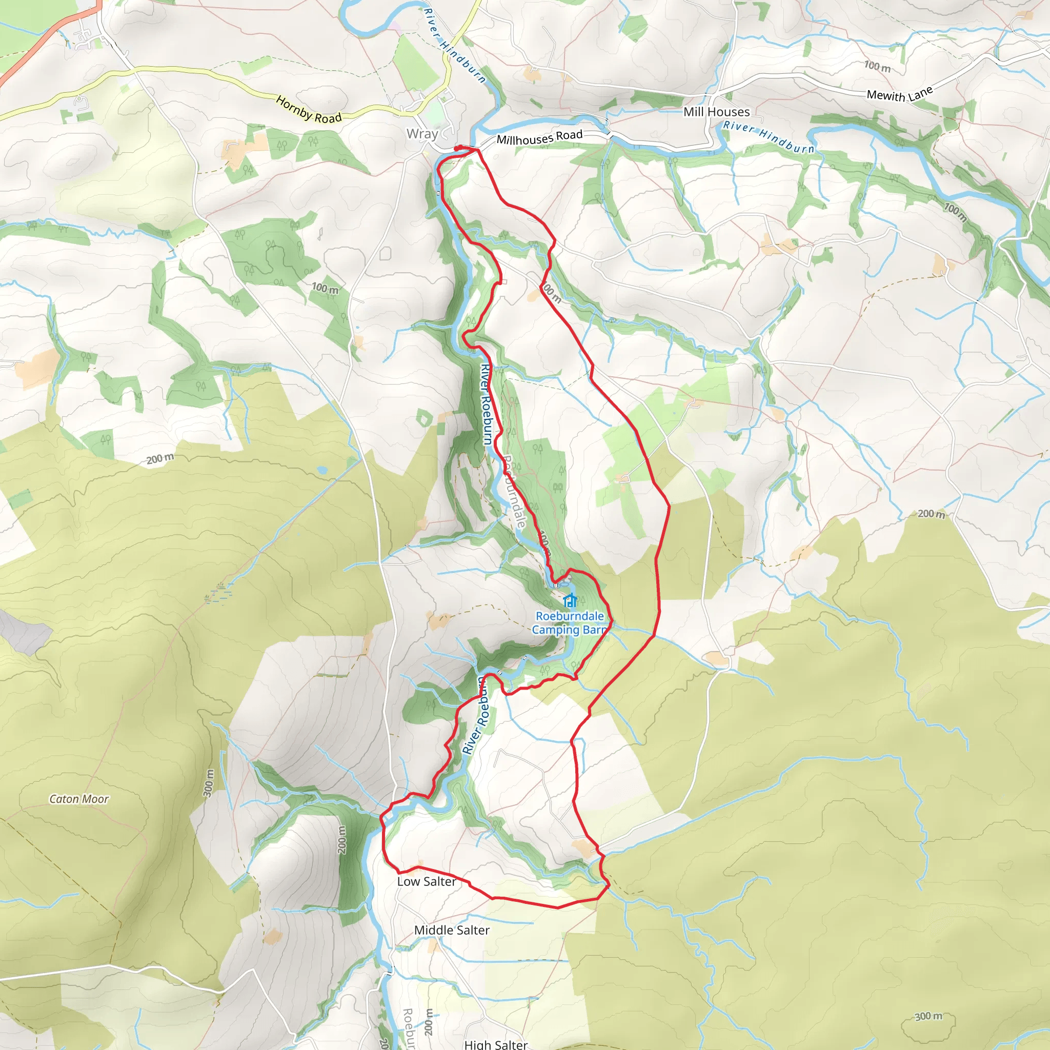
Starting near the picturesque village of Wray in Lancashire, England, the Wray to Middle Salter Loop is a delightful 12 km (7.5 miles) trail with an elevation gain of approximately 300 meters (984 feet). This loop trail is rated as medium difficulty, making it suitable for moderately experienced hikers.### Getting There To reach the trailhead, you can drive or use public transport. If driving, set your GPS to Wray, Lancashire, and look for parking options near the village center. For those using public transport, the nearest major town is Lancaster. From Lancaster, you can take a bus to Wray, which is well-connected by local bus services.### Trail Overview The trail begins in the charming village of Wray, known for its annual Scarecrow Festival. As you set off, you'll be greeted by the serene countryside, with rolling hills and lush meadows. The initial part of the trail is relatively flat, allowing you to ease into the hike.### Key Landmarks and Sections
Wray Village to Hindburn River
Approximately 2 km (1.2 miles) into the hike, you'll reach the Hindburn River. This section is particularly scenic, with the gentle flow of the river providing a calming backdrop. Keep an eye out for local wildlife, including kingfishers and herons, which are often spotted along the riverbanks.#### Ascent to Middle Salter After crossing the Hindburn River, the trail begins to ascend towards Middle Salter. This section covers around 4 km (2.5 miles) and includes the majority of the elevation gain. The climb is steady but manageable, with well-marked paths. As you ascend, you'll be rewarded with panoramic views of the surrounding countryside, including the Forest of Bowland Area of Outstanding Natural Beauty.#### Middle Salter to Roeburndale Woods Upon reaching Middle Salter, take a moment to enjoy the views before descending into Roeburndale Woods. This section is about 3 km (1.9 miles) and offers a mix of woodland and open fields. The woods are home to a variety of bird species, so bring your binoculars if you're a birdwatching enthusiast.### Historical Significance The region around Wray has a rich history, dating back to the medieval period. Wray itself was mentioned in the Domesday Book of 1086. As you hike, you'll pass by remnants of old stone walls and farmsteads, offering a glimpse into the area's agricultural past.### Navigation and Safety The trail is well-marked, but it's always a good idea to have a reliable navigation tool. HiiKER is an excellent app for this purpose, providing detailed maps and real-time tracking. Ensure you have adequate water, snacks, and appropriate clothing, as the weather can change rapidly in this region.### Final Stretch The final 3 km (1.9 miles) of the trail take you back towards Wray, passing through more open countryside and offering a gentle descent. This section is a great opportunity to reflect on the hike and enjoy the last of the beautiful landscapes.By the time you return to Wray, you'll have experienced a diverse range of terrains and sights, making the Wray to Middle Salter Loop a rewarding and memorable hike.
What to expect?
Activity types
Comments and Reviews
User comments, reviews and discussions about the Wray to Middle Salter Loop, England.
4.5
average rating out of 5
2 rating(s)
