Download
Preview
Add to list
More
9.1 km
~2 hrs 0 min
108 m
Loop
“This 9 km loop trail near Lancashire blends natural beauty, historical intrigue, and moderate hiking challenges.”
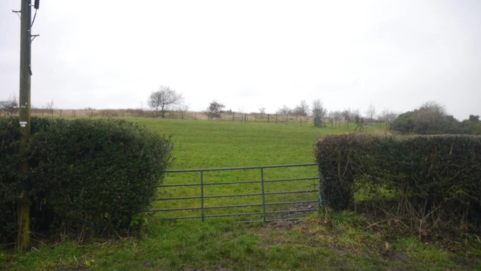
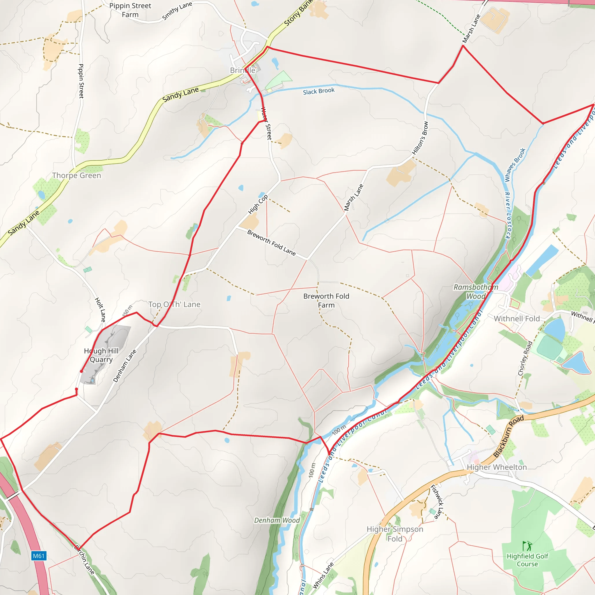
Starting near Lancashire, England, this 9 km (approximately 5.6 miles) loop trail offers a delightful mix of natural beauty and historical intrigue. With an elevation gain of around 100 meters (328 feet), it is rated as medium difficulty, making it accessible for most hikers with a moderate level of fitness.### Getting There To reach the trailhead, you can drive or use public transport. If driving, set your GPS to the nearest known address: Brindle Community Hall, Water Street, Brindle, Chorley PR6 8NH, which is a short distance from the trailhead. For those using public transport, the nearest train station is Chorley, from which you can take a local bus or taxi to Brindle.### Trail Overview The trail begins near Brindle Community Hall and quickly immerses you in the serene Lancashire countryside. The initial section is relatively flat, allowing you to ease into the hike. As you progress, the trail meanders through a series of picturesque fields and woodlands, offering a variety of flora and fauna to observe.### Significant Landmarks At approximately 2 km (1.2 miles) into the hike, you'll encounter the historic St. James' Church, a beautiful example of 16th-century architecture. This is a great spot to take a short break and appreciate the historical significance of the area.Continuing on, around the 4 km (2.5 miles) mark, you'll reach the Top o' th' Lane viewpoint. This spot offers panoramic views of the surrounding countryside, making it an ideal location for photography or simply soaking in the scenery.### Nature and Wildlife The trail is home to a diverse range of wildlife. Keep an eye out for local bird species such as the skylark and the lapwing, especially in the open fields. The woodlands are rich with native trees like oak and ash, and during spring, the forest floor is often carpeted with bluebells.### Navigation and Safety While the trail is well-marked, it's always a good idea to have a reliable navigation tool. The HiiKER app is highly recommended for this purpose, providing detailed maps and real-time location tracking to ensure you stay on course.### Historical Significance The region around Brindle has a rich history dating back to the Roman era. The village itself is mentioned in the Domesday Book, and many of the buildings you pass have historical plaques detailing their significance. This adds an educational element to your hike, making it not just a physical journey but a historical one as well.### Final Stretch As you near the end of the loop, the trail descends gently back towards Brindle Community Hall. This final section is a pleasant walk through more open fields, giving you a chance to reflect on the diverse landscapes and historical sites you've encountered.This trail offers a well-rounded hiking experience, combining natural beauty, wildlife, and historical landmarks, making it a must-visit for anyone in the Lancashire area.
What to expect?
Activity types
Comments and Reviews
User comments, reviews and discussions about the Top O th Lane and Brindle Loop, England.
5.0
average rating out of 5
4 rating(s)

