Download
Preview
Add to list
More
9.4 km
~2 hrs 22 min
302 m
Loop
“The High Salter to Low Salter Circular Path offers scenic landscapes, historical landmarks, and diverse wildlife.”
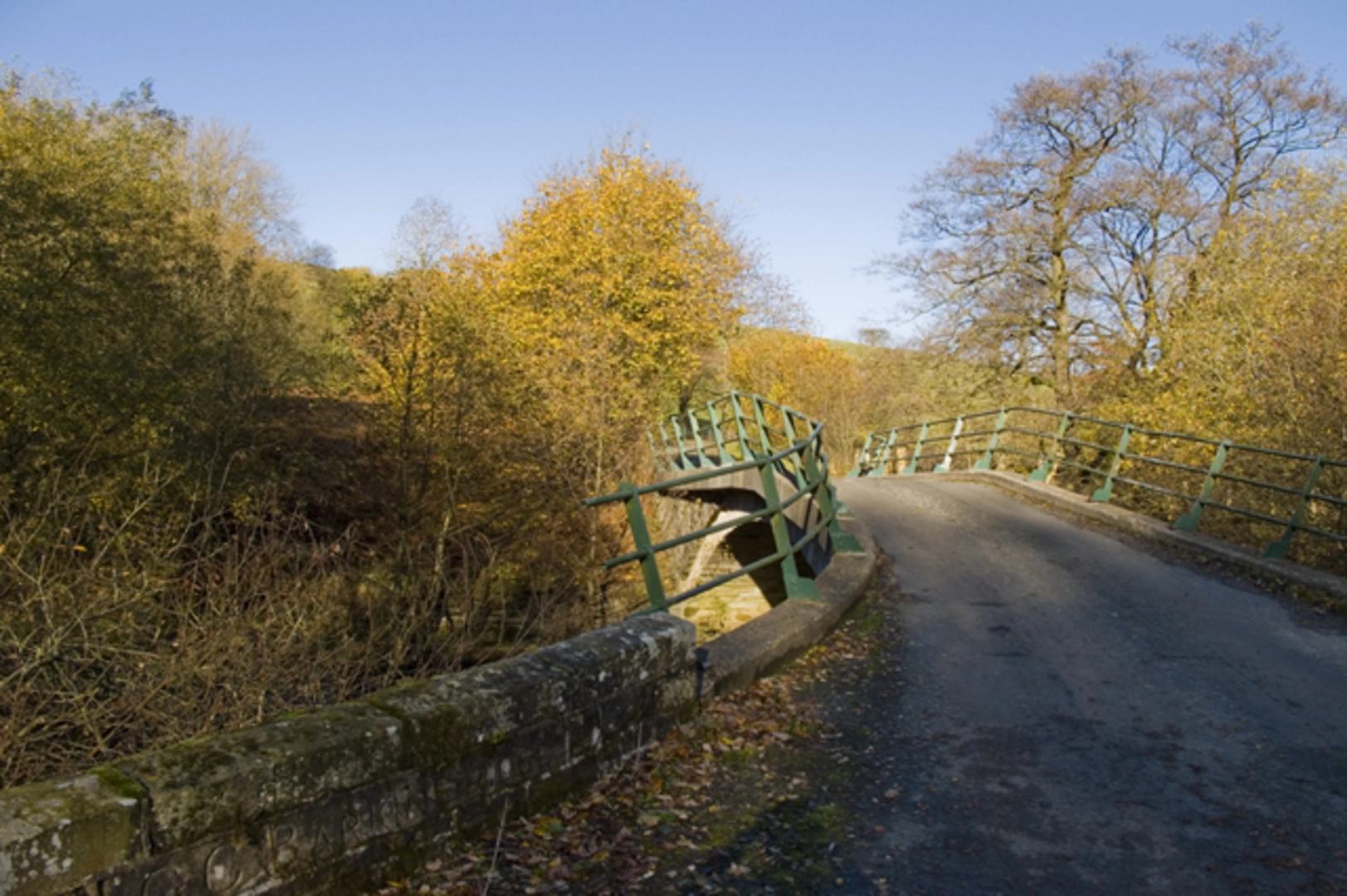
Starting near Lancashire, England, the High Salter to Low Salter Circular Path is a delightful 9 km (approximately 5.6 miles) loop trail with an elevation gain of around 300 meters (about 984 feet). This medium-difficulty trail offers a mix of scenic landscapes, historical landmarks, and diverse wildlife, making it a rewarding experience for hikers of various skill levels.### Getting ThereTo reach the trailhead, you can either drive or use public transport. If driving, set your GPS to the nearest known address: High Salter Farm, Lancashire. For those using public transport, the nearest significant landmark is the town of Lancaster. From Lancaster, you can take a local bus or taxi to High Salter Farm, which is approximately 15 km (9.3 miles) away.### Trail OverviewThe trail begins at High Salter Farm, a picturesque starting point surrounded by rolling hills and lush greenery. As you set off, you'll immediately notice the serene countryside atmosphere, with well-marked paths guiding you through the initial stages.### Key Landmarks and Points of Interest#### High Salter Farm to Low SalterThe first section of the trail takes you from High Salter Farm to Low Salter, covering approximately 4 km (2.5 miles). This part of the hike is relatively gentle, with a gradual ascent of about 150 meters (492 feet). Along the way, you'll pass through charming meadows and woodlands, offering ample opportunities for birdwatching. Keep an eye out for local species such as the European robin and the common blackbird.#### Historical SignificanceAs you approach Low Salter, you'll encounter remnants of historical significance. The area is dotted with ancient stone walls and farmhouses that date back to the 17th century. These structures offer a glimpse into the region's agricultural past and are perfect spots for a brief rest and some photography.### Mid-Trail Highlights#### Low Salter to High SalterFrom Low Salter, the trail loops back towards High Salter, covering the remaining 5 km (3.1 miles). This section is more challenging, with a steeper ascent of around 150 meters (492 feet). The path winds through dense forests and open fields, providing a diverse range of landscapes.#### Wildlife and NatureThis part of the trail is particularly rich in wildlife. Deer are commonly spotted in the early mornings and late afternoons, and the area is also home to various species of butterflies and wildflowers. The changing elevation and terrain offer different microhabitats, making this section a haven for nature enthusiasts.### Navigation and SafetyGiven the varied terrain and elevation changes, it's advisable to use a reliable navigation tool like HiiKER to stay on track. The trail is generally well-marked, but having a digital map can be invaluable, especially in the denser forested areas.### Final StretchAs you near the end of the loop, the trail descends gently back towards High Salter Farm. This final stretch offers panoramic views of the surrounding countryside, making it a perfect spot to reflect on your hike and take in the natural beauty of Lancashire.### Practical Tips- Footwear: Sturdy hiking boots are recommended due to the varied terrain. - Weather: Check the local weather forecast before setting out, as conditions can change rapidly. - Supplies: Carry sufficient water and snacks, especially if you plan to take breaks to enjoy the scenery and wildlife. - Timing: Allocate around 3-4 hours to complete the trail, allowing extra time for rest stops and exploration.This trail offers a balanced mix of natural beauty, historical intrigue, and moderate physical challenge, making it an excellent choice for a day hike in Lancashire.

What to expect?
Activity types
Comments and Reviews
User comments, reviews and discussions about the High Salter to Low Salter Circular Path, England.
4.4
average rating out of 5
5 rating(s)