Download
Preview
Add to list
More
17.5 km
~3 hrs 37 min
84 m
Point-to-Point
“Experience the serene English countryside on a 17 km trail featuring scenic rivers, historic sites, and diverse wildlife.”
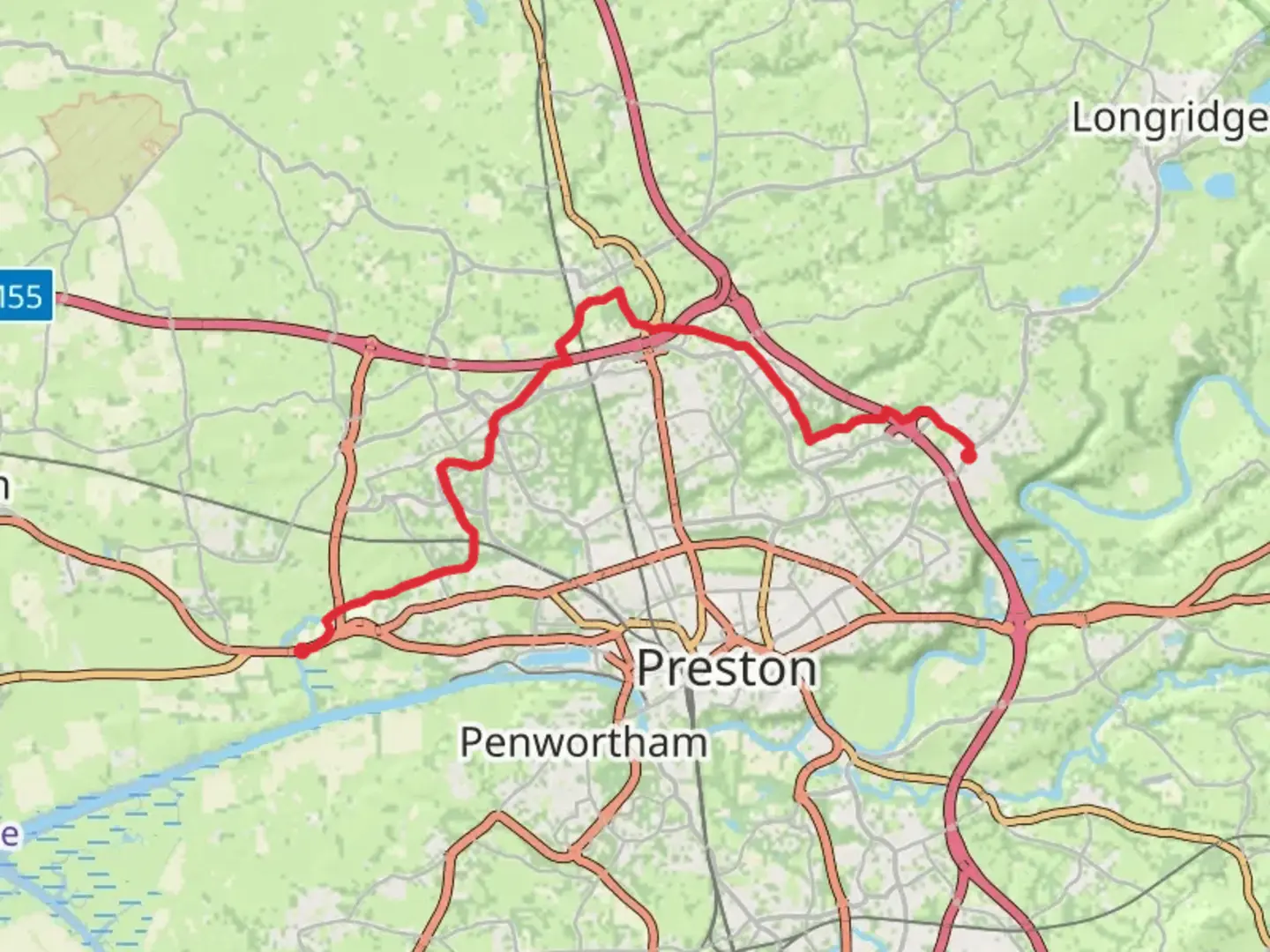
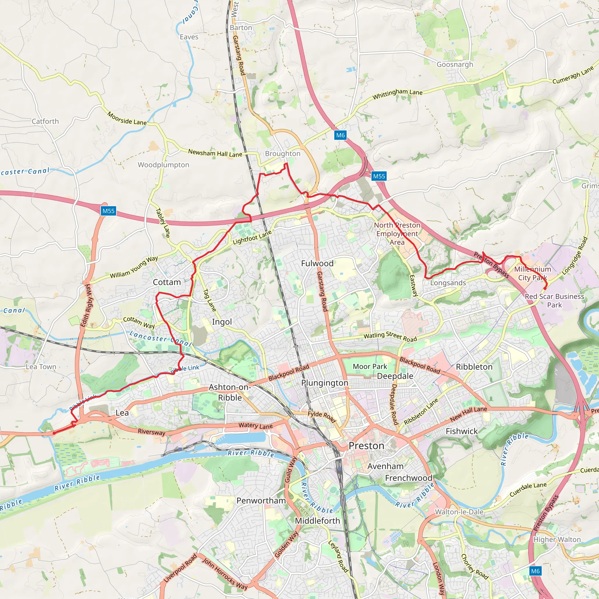
Starting near Lancashire, England, this 17 km (approximately 10.5 miles) point-to-point trail offers a delightful journey through the picturesque English countryside. With an elevation gain of around 0 meters, it is relatively flat, making it accessible for hikers of varying skill levels, though it is rated as Medium difficulty due to its length.### Getting There To reach the trailhead, you can either drive or use public transport. If driving, head towards the vicinity of Fulwood Row, near Preston, Lancashire. For those using public transport, Preston Railway Station is the nearest major station. From there, local buses or a short taxi ride can take you to Fulwood Row.### Trail Overview The trail begins in Fulwood Row, a quaint area known for its charming rural landscape. As you set off, you'll traverse through a mix of open fields and small woodlands, offering a serene start to your hike. The first few kilometers are relatively straightforward, with well-marked paths guiding you through the countryside.### Points of Interest - Brockholes Nature Reserve (Approx. 5 km / 3 miles in): One of the early highlights of the trail is the Brockholes Nature Reserve. This wetland and woodland reserve is home to a variety of bird species, making it a perfect spot for birdwatching. The floating visitor village here is a unique architectural feature worth exploring.
- River Ribble (Approx. 8 km / 5 miles in): As you continue, you'll encounter the River Ribble. The trail runs parallel to the river for a stretch, offering scenic views and the soothing sounds of flowing water. This section is particularly picturesque, with opportunities to spot local wildlife such as otters and kingfishers.### Historical Significance
- St. Mary's Church, Penwortham (Approx. 10 km / 6 miles in): A slight detour will bring you to St. Mary's Church in Penwortham. This historic church dates back to the 11th century and is a fine example of Norman architecture. The churchyard offers a peaceful resting spot and a glimpse into the region's rich history.### Navigation and Safety Using HiiKER for navigation is highly recommended. The app provides detailed maps and real-time updates, ensuring you stay on track. While the trail is generally well-marked, having a reliable navigation tool can be invaluable, especially in more remote sections.### Final Stretch As you approach the final leg of the hike, the landscape opens up into more agricultural land. The trail eventually leads you to Lea Town, a small village that marks the end of your journey. Here, you can find a few local pubs and cafes to relax and reflect on your hike.### Wildlife and Flora Throughout the trail, keep an eye out for local wildlife. The diverse habitats along the route support a variety of species, from woodland birds to small mammals. The flora is equally varied, with seasonal wildflowers adding bursts of color to the landscape.### Practical Tips
- Footwear: Given the flat terrain, comfortable walking shoes or light hiking boots are sufficient.
- Weather: The English weather can be unpredictable, so pack a waterproof jacket and check the forecast before setting out.
- Supplies: Carry enough water and snacks, as there are limited facilities along the route.This trail offers a blend of natural beauty, historical landmarks, and the tranquility of the English countryside, making it a rewarding experience for any hiker.
What to expect?
Activity types
Comments and Reviews
User comments, reviews and discussions about the Fulwood Row to Lea Town Walk, England.
4.67
average rating out of 5
3 rating(s)
