Download
Preview
Add to list
More
11.6 km
~2 hrs 33 min
140 m
Loop
“This 12 km loop trail in Lancashire offers riverside beauty, historical intrigue, and open countryside vistas.”
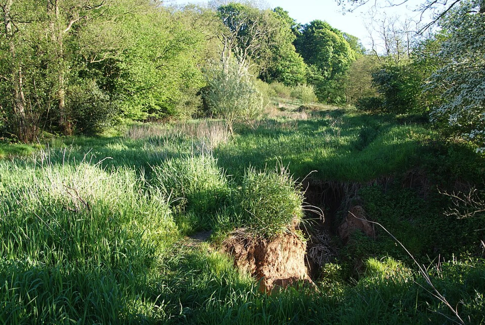
Starting near Lancashire, England, this 12 km (approximately 7.5 miles) loop trail offers a delightful mix of riverside walking, woodland paths, and open countryside. With an elevation gain of around 100 meters (328 feet), the trail is rated as medium difficulty, making it suitable for moderately experienced hikers.### Getting There To reach the trailhead, you can drive or use public transport. If driving, set your GPS to the nearest known address: Clayton-le-Dale, Lancashire. There is parking available near the village. For those using public transport, the nearest major town is Blackburn, which is well-connected by train. From Blackburn, you can take a local bus to Clayton-le-Dale.### Trail Overview The trail begins in the quaint village of Clayton-le-Dale, where you can find a few local shops and cafes to stock up on supplies or grab a quick bite before you start. As you leave the village, the path leads you towards the River Ribble, one of the longest rivers in North West England.### Along the River Ribble The first section of the trail follows the River Ribble for about 4 km (2.5 miles). This part of the hike is relatively flat and offers stunning views of the river. Keep an eye out for local wildlife, including kingfishers, herons, and otters. The riverbanks are also home to a variety of plant species, making it a great spot for nature enthusiasts.### Historical Significance As you walk along the river, you'll come across several historical landmarks. One notable site is the remains of an old Roman road that once connected the region to other parts of England. This area has a rich history dating back to Roman times, and you might even spot some ancient stone markers along the way.### Balderstone Woods After leaving the riverside, the trail takes you through Balderstone Woods. This section is about 3 km (1.9 miles) long and involves a gentle ascent, contributing to the overall elevation gain. The woods are a haven for birdwatchers, with species like woodpeckers and owls frequently spotted. The dense foliage provides a cool, shaded environment, making it a pleasant walk even on warmer days.### Open Countryside Emerging from the woods, the trail opens up into rolling countryside. This part of the hike covers approximately 5 km (3.1 miles) and offers panoramic views of the surrounding landscape. The terrain here is a mix of grassy paths and dirt tracks, so sturdy hiking boots are recommended. You'll also pass by several working farms, where you might see sheep, cows, and horses grazing.### Navigation and Safety For navigation, it's highly recommended to use the HiiKER app, which provides detailed maps and real-time updates. The trail is well-marked, but having a reliable navigation tool can help you stay on track, especially in the more remote sections.### Final Stretch The last leg of the trail brings you back towards Clayton-le-Dale. This section is relatively flat and easy, allowing you to cool down and enjoy the final views of the countryside. As you approach the village, you'll pass by some charming stone cottages and gardens, a perfect end to a scenic and varied hike.This loop trail offers a bit of everything—riverside beauty, historical intrigue, woodland tranquility, and open countryside—all within a manageable distance. Whether you're a local or visiting the area, it's a fantastic way to experience the natural and historical richness of Lancashire.

What to expect?
Activity types
Comments and Reviews
User comments, reviews and discussions about the Clayton Le Dale, River Ribble and Balderstone Loop, England.
5.0
average rating out of 5
3 rating(s)