Download
Preview
Add to list
More
5.4 km
~1 hrs 16 min
121 m
Loop
“Explore Lancashire's scenic moorlands and reservoirs on this rewarding 5 km loop trail near Worsthorne.”
Starting your hike near Lancashire, England, this 5 km (approximately 3.1 miles) loop trail offers a moderate challenge with an elevation gain of around 100 meters (328 feet). The trailhead is conveniently located near the village of Worsthorne, making it accessible by both car and public transport. If you're driving, you can park near the Hurstwood Reservoir car park. For those using public transport, the nearest bus stop is in Worsthorne, from where you can walk to the trailhead.
Initial Ascent and Cant Clough Reservoir
The trail begins with a gentle ascent, leading you towards Cant Clough Reservoir. This initial section is relatively easy, allowing you to warm up as you take in the serene surroundings. The reservoir itself is a picturesque spot, often frequented by birdwatchers. Keep an eye out for species like the Great Crested Grebe and various types of ducks. The path around the reservoir is well-maintained, making it easy to navigate.
Hurstwood Reservoir and Historical Significance
Continuing on, you'll reach Hurstwood Reservoir, which is slightly larger and offers stunning views of the surrounding moorlands. This area has historical significance, as the reservoir was constructed in the late 19th century to supply water to the nearby towns. The engineering marvel of the dam and the old stone structures around it are worth noting. As you walk along the reservoir, you'll notice the landscape changing from open moorland to more wooded areas, providing a diverse hiking experience.
Hindle Banks and Elevation Gain
The trail then takes you towards Hindle Banks, where you'll encounter the most significant elevation gain of the hike. This section can be a bit challenging, but the effort is rewarded with panoramic views of the Lancashire countryside. The path here is a mix of rocky and grassy terrain, so sturdy hiking boots are recommended. As you ascend, you'll pass through areas rich in heather and wildflowers, especially vibrant in late spring and early summer.
Wildlife and Flora
Throughout the hike, you'll be surrounded by a variety of flora and fauna. The moorlands are home to species like the Red Grouse and Meadow Pipit. In the wooded sections, you might spot deer and various woodland birds. The diverse plant life includes heather, bilberry, and various types of ferns, making it a botanist's delight.
Navigation and Safety
For navigation, it's advisable to use the HiiKER app, which provides detailed maps and real-time updates. The trail is generally well-marked, but having a reliable navigation tool can help you stay on track, especially in the more remote sections. Always carry enough water and some snacks, as there are no facilities along the trail. Weather can be unpredictable, so pack a waterproof jacket and be prepared for sudden changes.
Return to Trailhead
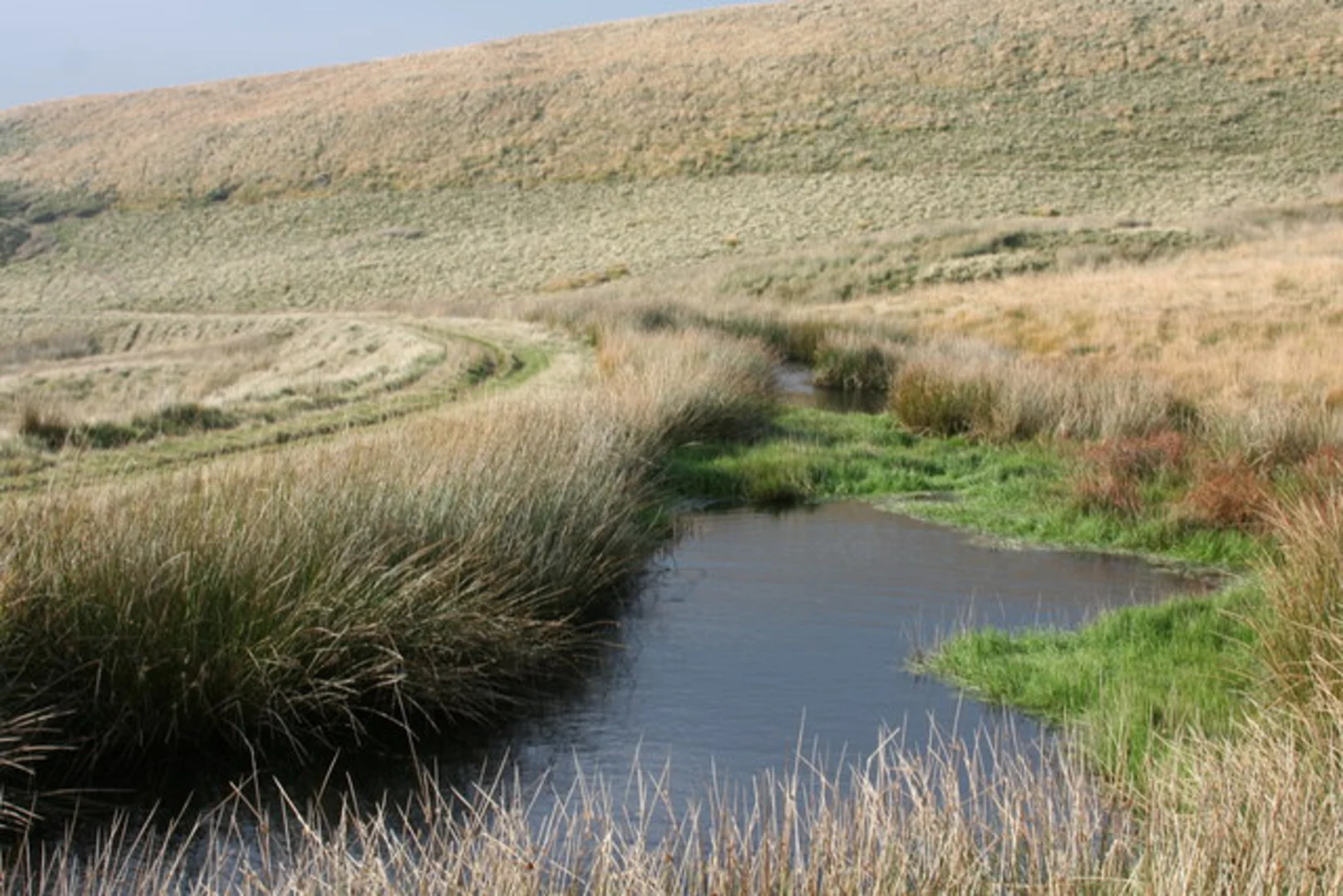
The loop eventually brings you back towards the starting point near Worsthorne. The descent is gradual, allowing you to cool down as you make your way back. This final section offers more opportunities to enjoy the natural beauty of the area, with the path meandering through open fields and along small streams.
This trail offers a perfect blend of natural beauty, historical significance, and moderate physical challenge, making it a rewarding experience for hikers of all levels.

What to expect?
Activity types
Comments and Reviews
User comments, reviews and discussions about the Cant Clough Reservoir, Hurstwood Reservoir and Hindle Banks, England.
4.56
average rating out of 5
9 rating(s)