Download
Preview
Add to list
More
11.4 km
~2 hrs 36 min
201 m
Loop
“Explore Anglezarke Reservoir's 11 km trail, blending serene woodlands, picturesque views, and historical landmarks for a rewarding hike.”
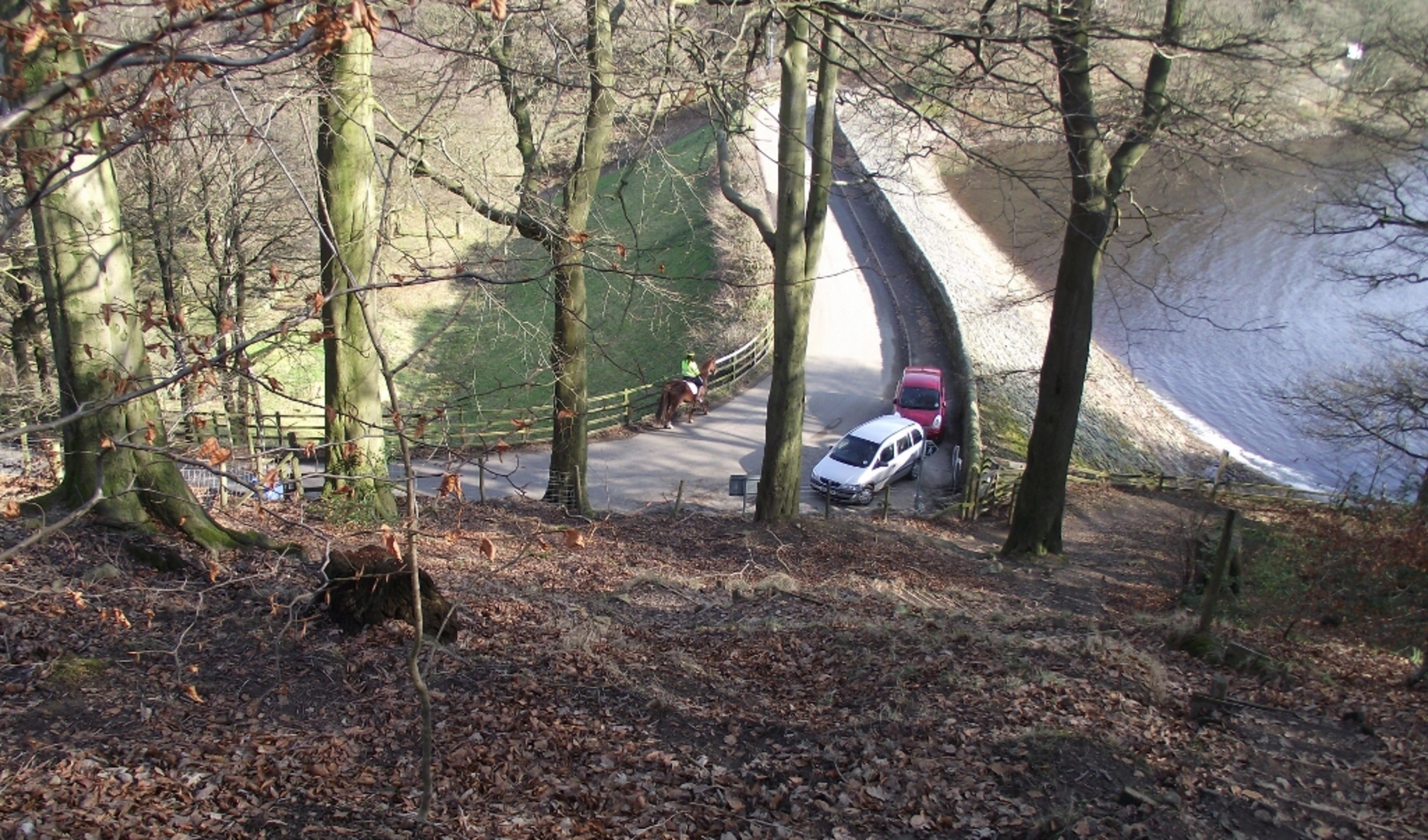
Starting near Lancashire, England, the Anglezarke Reservoir and Lower Healey Wood via Woodland Trail is a captivating loop trail that spans approximately 11 km (around 6.8 miles) with an elevation gain of about 200 meters (656 feet). This medium-difficulty trail offers a blend of serene woodland paths, picturesque reservoir views, and historical landmarks, making it a rewarding experience for hikers.
Getting There
To reach the trailhead, you can drive or use public transport. If driving, set your GPS to Anglezarke Reservoir, near Chorley, Lancashire. For those using public transport, the nearest significant landmark is Chorley Railway Station. From there, you can take a local bus or taxi to the reservoir area.
Trail Overview
The trail begins near the Anglezarke Reservoir, a significant water body that supplies water to the surrounding areas. As you start your hike, you'll be greeted by the tranquil waters of the reservoir, which is a great spot for birdwatching. Keep an eye out for species like herons, kingfishers, and various waterfowl.
Woodland Path and Lower Healey Wood
Around the 3 km (1.9 miles) mark, you'll enter the enchanting Lower Healey Wood. This section of the trail is characterized by dense woodland, with a variety of tree species such as oak, beech, and sycamore. The forest floor is often carpeted with bluebells in the spring, creating a magical atmosphere. The woodland is also home to various wildlife, including deer, foxes, and numerous bird species.
Historical Significance
As you continue, you'll come across remnants of historical significance. The area around Anglezarke has a rich history, with evidence of ancient settlements and industrial activity. Look out for old stone walls and ruins that hint at the region's past. The trail also passes by the site of an old quarry, which played a crucial role in the local economy during the 19th century.
Navigation and Safety
The trail is well-marked, but it's always a good idea to have a reliable navigation tool. HiiKER is an excellent app for this purpose, providing detailed maps and real-time tracking to ensure you stay on course. The terrain can be uneven in places, so sturdy hiking boots are recommended. Also, be prepared for changing weather conditions, as the area can be quite windy and wet, especially near the reservoir.
Scenic Views and Rest Points
Around the halfway point, approximately 5.5 km (3.4 miles) into the hike, you'll reach a high point that offers stunning panoramic views of the surrounding countryside and the reservoir below. This is an ideal spot to take a break, have a snack, and soak in the scenery. There are several benches and picnic areas along the trail where you can rest and enjoy the natural beauty.
Completing the Loop
As you make your way back towards the trailhead, the path will take you along the opposite side of the reservoir. This section is relatively flat and offers more opportunities for birdwatching and photography. The loop concludes back at the starting point near the reservoir, where you can reflect on the diverse landscapes and historical insights you've encountered along the way.
This trail offers a perfect blend of natural beauty, historical intrigue, and moderate physical challenge, making it a must-visit for hikers in the Lancashire area.

What to expect?
Activity types
Comments and Reviews
User comments, reviews and discussions about the Anglezarke Reservoir and Lower Healey Wood via Woodland Trail, England.
4.67
average rating out of 5
3 rating(s)