Download
Preview
Add to list
More
14.8 km
~3 hrs 38 min
403 m
Loop
“The Slaithwaite Loop is a scenic 15 km trail with diverse landscapes and rich historical landmarks.”
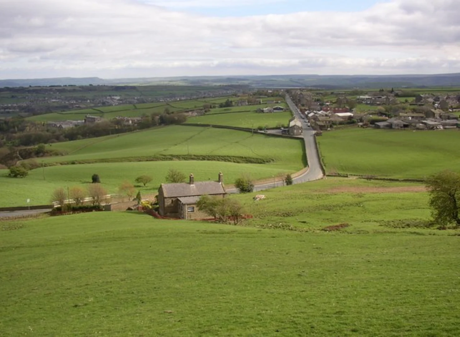
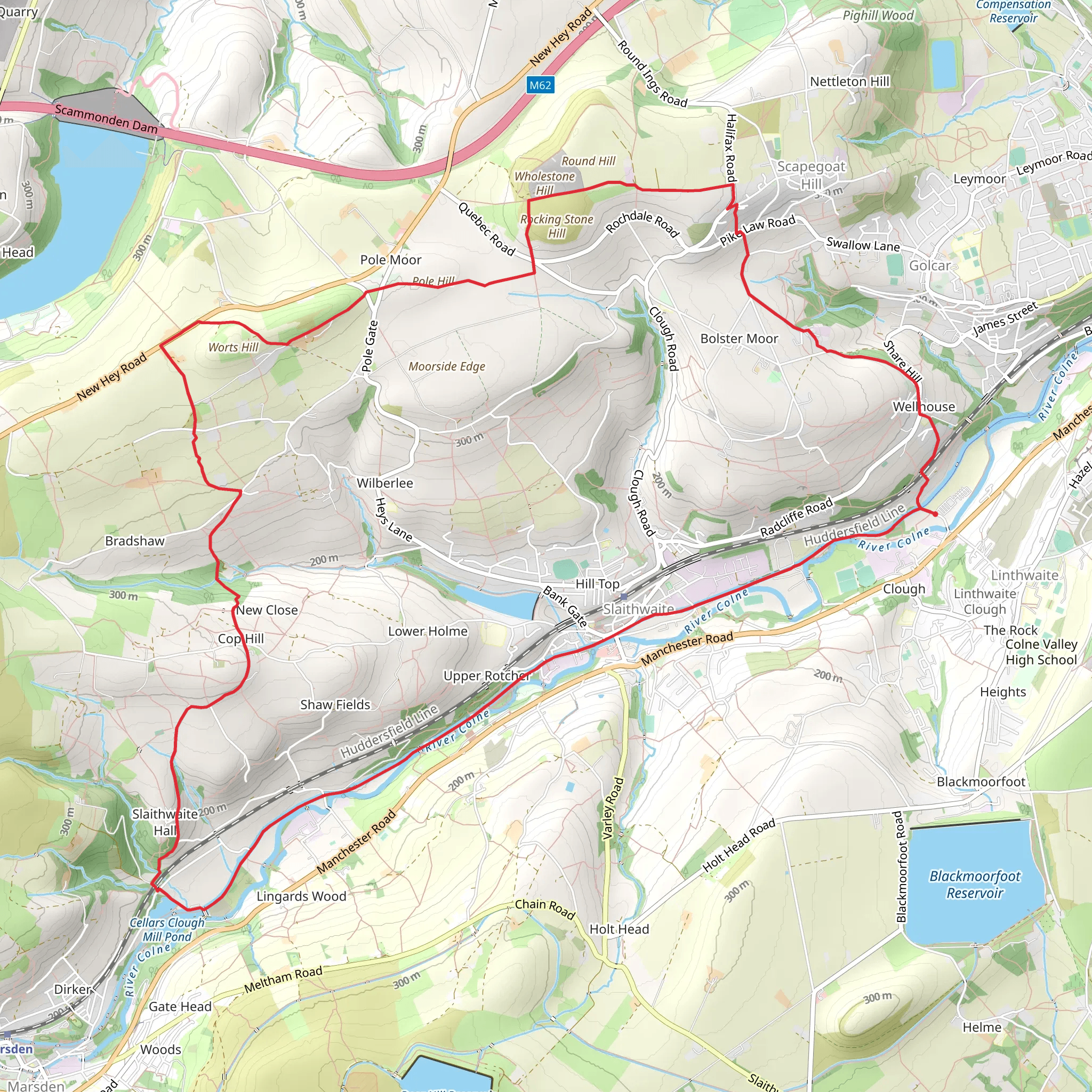
Starting near Kirklees, England, the Slaithwaite Loop is a captivating 15 km (approximately 9.3 miles) trail with an elevation gain of around 400 meters (about 1,312 feet). This loop trail is rated as medium difficulty, making it suitable for moderately experienced hikers.### Getting There To reach the trailhead, you can either drive or use public transport. If driving, set your GPS to Slaithwaite, a charming village in the Colne Valley. For those using public transport, the nearest train station is Slaithwaite Station, which is well-connected to major cities like Manchester and Leeds. From the station, it's a short walk to the trailhead.### Trail Overview The Slaithwaite Loop offers a diverse range of landscapes, from lush woodlands to open moorlands, providing a rich tapestry of natural beauty and historical significance. The trail begins near the village center, where you can stock up on supplies or enjoy a coffee before setting off.### Key Landmarks and Sections#### Slaithwaite Reservoir About 2 km (1.2 miles) into the hike, you'll encounter the Slaithwaite Reservoir. This serene body of water is a great spot for a short break. The reservoir is surrounded by a variety of bird species, so keep your binoculars handy if you're a bird-watching enthusiast.#### Marsden Moor Continuing on, you'll ascend towards Marsden Moor, a significant section of the trail that offers panoramic views of the surrounding countryside. This area is managed by the National Trust and is known for its rich biodiversity, including heather, bilberry, and various species of butterflies. The climb to Marsden Moor adds about 200 meters (656 feet) to your elevation gain.#### Historical Significance Marsden Moor is not just a natural wonder; it's also steeped in history. The moorland has been inhabited since prehistoric times, and you may come across ancient stone circles and remnants of old farmsteads. This area was also a significant site during the Industrial Revolution, with old packhorse routes and canals that were once vital for transporting goods.#### Standedge Tunnel Around the 10 km (6.2 miles) mark, you'll pass near the Standedge Tunnel, the longest, highest, and deepest canal tunnel in the UK. Although not directly on the trail, a short detour will take you to this engineering marvel, which dates back to the early 19th century.### Flora and Fauna The trail is a haven for nature lovers. In the woodlands, you'll find oak, ash, and birch trees, while the moorlands are dominated by heather and gorse. Wildlife is abundant, with chances to spot deer, foxes, and a variety of bird species, including kestrels and skylarks.### Navigation and Safety Given the varied terrain, it's advisable to use a reliable navigation tool like HiiKER to stay on track. The trail is well-marked, but weather conditions can change rapidly, especially on the moorlands. Ensure you have appropriate clothing and gear, including waterproofs and sturdy hiking boots.### Final Stretch The final section of the trail descends back towards Slaithwaite, offering a gentle walk through picturesque fields and along the Huddersfield Narrow Canal. This is a perfect opportunity to reflect on the hike and enjoy the tranquil surroundings before returning to the village.The Slaithwaite Loop is a rewarding hike that combines natural beauty, historical intrigue, and a moderate physical challenge, making it a must-visit for any hiking enthusiast.
What to expect?
Activity types
Comments and Reviews
User comments, reviews and discussions about the Slaithwaite Loop, England.
4.8
average rating out of 5
5 rating(s)

