Download
Preview
Add to list
More
3194.6 km
~164 days
58794 m
Multi-Day
“Traverse history and nature on the Via Francigena, an epic pilgrimage from Canterbury to Rome.”
The Via Francigena is an ancient pilgrim route that stretches approximately 3195 kilometers (about 1986 miles), with an elevation gain of around 58700 meters (approximately 192585 feet), leading from the vicinity of Canterbury Cathedral in Kent, England, to the Vatican City in Rome. This historic trail is a point-to-point journey that traverses England, France, Switzerland, and Italy, offering a challenging yet rewarding experience for those who undertake it.
Getting to the Trailhead
To begin the Via Francigena, travelers can reach Canterbury by train from London's St Pancras International station, which takes roughly an hour. For those driving, Canterbury is accessible via the M2 and A2 roads from London. Upon arrival, the starting point is near the iconic Canterbury Cathedral, a UNESCO World Heritage Site and a significant landmark in Christian history.
England to France
The initial section of the trail in England is relatively short, around 20 kilometers (12 miles), leading walkers from Canterbury to the port of Dover. The terrain here is gentle, with rolling hills and the scenic backdrop of the Kent countryside. After crossing the English Channel by ferry to Calais, hikers will find themselves in France.
France
The French leg of the Via Francigena covers around 900 kilometers (560 miles) and is characterized by varied landscapes including the agricultural regions of Pas-de-Calais, the Champagne vineyards, and the crossing of the Jura Mountains. The trail passes through historic towns such as Arras, Reims, and Besançon, each offering a glimpse into France's rich cultural heritage.
Switzerland
Upon entering Switzerland, the trail becomes more challenging with significant elevation gains as it approaches the Alps. The route covers approximately 210 kilometers (130 miles) in Switzerland, with the Great St Bernard Pass being one of the most demanding and visually stunning sections. At an altitude of 2,469 meters (8,100 feet), this pass provides breathtaking views and a sense of accomplishment before descending into the Italian-speaking region of Switzerland.
Italy
The Italian section is the longest and most varied, stretching over 1000 kilometers (about 621 miles). Hikers will experience the picturesque landscapes of the Aosta Valley, the rice fields of Piedmont, the Apennine Mountains, and the enchanting Tuscan countryside. The trail culminates in the eternal city of Rome, with the final destination being the Vatican City. Along the way, landmarks such as the historic city of Lucca, the medieval towers of San Gimignano, and the architectural splendors of Siena serve as highlights.
Wildlife and Nature
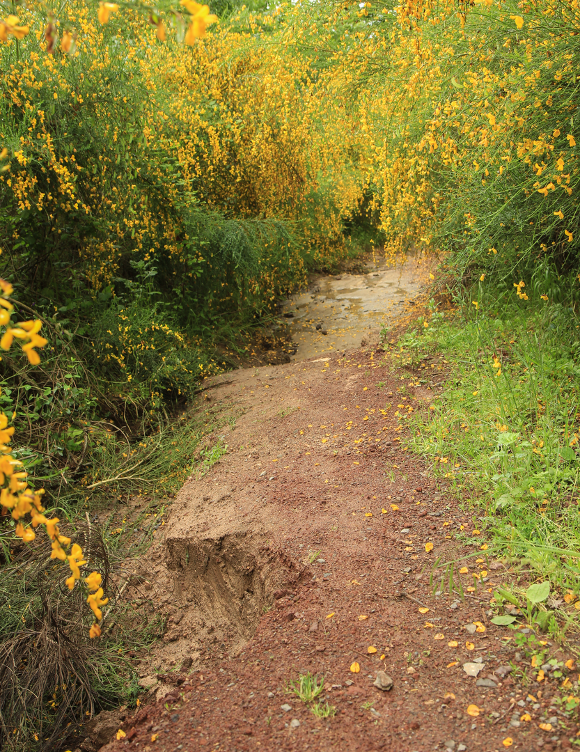
Throughout the journey, hikers will encounter diverse ecosystems, from the coastal cliffs of Dover to the alpine environments of the Swiss Alps. The trail offers opportunities to spot wildlife such as deer, wild boar, and various bird species, as well as to appreciate the changing flora with each country's distinct natural beauty.
Historical Significance
The Via Francigena is steeped in history, having been a major pilgrimage route to Rome since the early Middle Ages. It was first documented by Sigeric the Serious, Archbishop of Canterbury, in the 10th century. The route has been traveled by countless pilgrims, merchants, and armies, contributing to the cultural exchange between the regions it connects.
Navigation
Given the length and complexity of the Via Francigena, it is essential to plan each stage carefully. Hikers can use the HiiKER app to access detailed maps and trail information, ensuring they stay on the correct path and are aware of upcoming terrain changes and points of interest.
Preparation
Due to the trail's difficulty rating and length, thorough preparation is crucial. Hikers should be equipped with appropriate gear for varying weather conditions and terrain, including reliable footwear, rain gear, and cold-weather clothing for the mountainous sections. It is also advisable to carry a first-aid kit, a multi-tool, and enough food and water for each day's hike, although there are numerous towns and villages along the route for resupplying.
The Via Francigena is not just a physical challenge but a journey through time, offering a unique blend of natural beauty, cultural immersion, and historical exploration. Whether undertaken in full or in part, it promises to be an unforgettable adventure.

What to expect?
Activity types
Comments and Reviews
User comments, reviews and discussions about the Via Francigena, England.
4.83
average rating out of 5
6 rating(s)