Download
Preview
Add to list
More
11.3 km
~2 hrs 40 min
253 m
Loop
“The Crookhorn Wood trail in Kent blends natural beauty and historical intrigue over a rewarding 11-kilometer loop.”
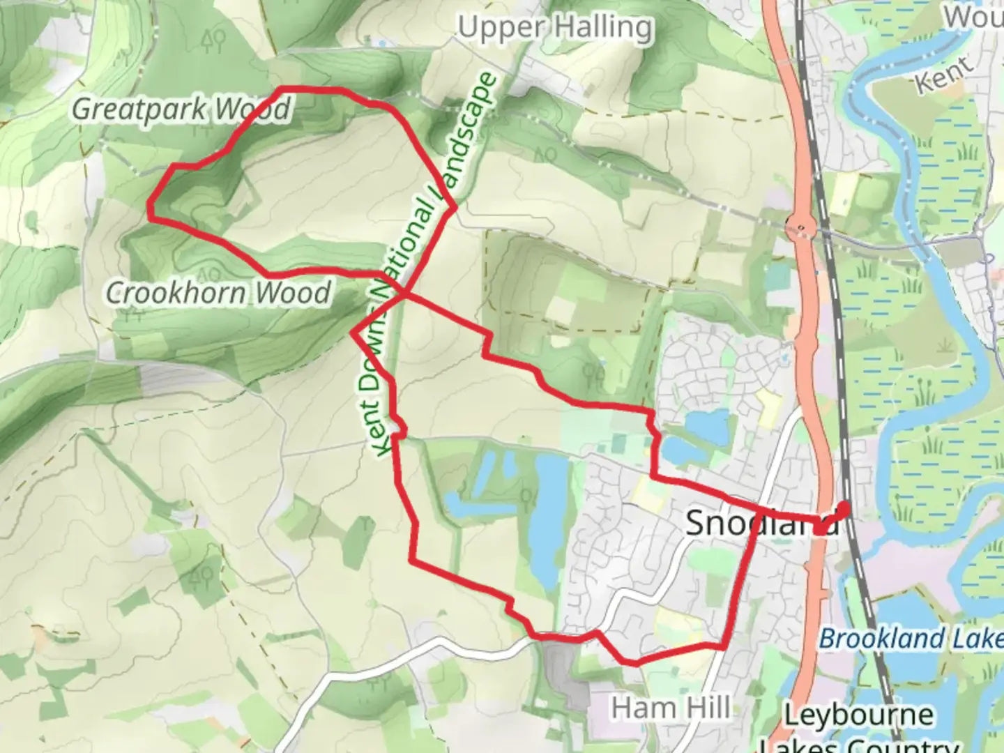
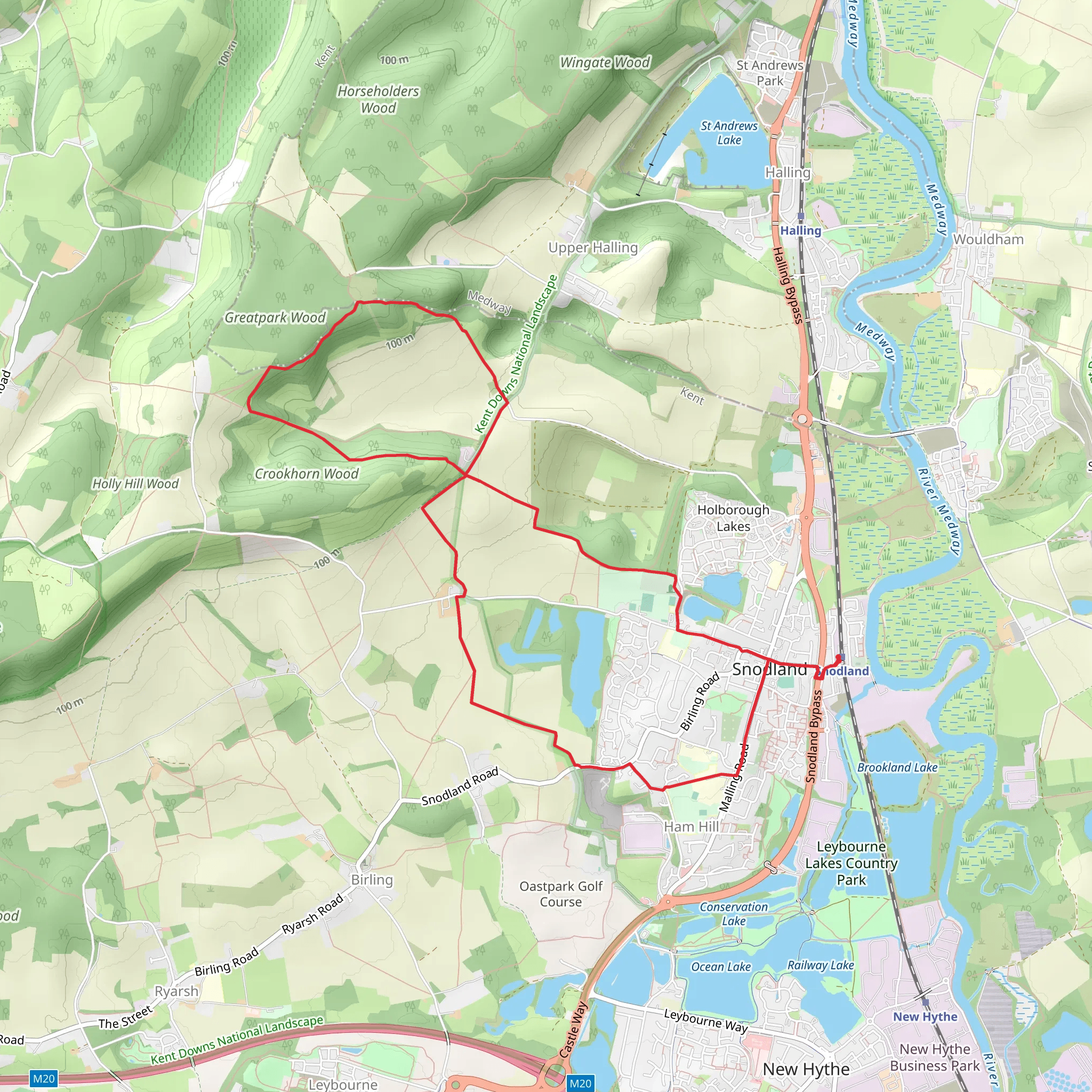
Starting near the charming town of Kent, England, the Crookhorn Wood trail is a delightful loop that spans approximately 11 kilometers (around 6.8 miles) with an elevation gain of about 200 meters (656 feet). This medium-difficulty trail offers a blend of natural beauty and historical intrigue, making it a rewarding experience for hikers of varying skill levels.
Getting There
To reach the trailhead, you can either drive or use public transport. If you're driving, set your GPS to the vicinity of Kent, and look for parking near the entrance of Crookhorn Wood. For those relying on public transport, the nearest significant landmark is the Kent Train Station. From there, you can take a local bus or taxi to the trailhead.
Trail Navigation
For navigation, it's highly recommended to use the HiiKER app, which provides detailed maps and real-time updates to ensure you stay on track throughout your hike.
Trail Highlights
#### Flora and Fauna
As you embark on the trail, you'll be greeted by a lush canopy of deciduous trees, including oak, beech, and ash. The undergrowth is rich with ferns, wildflowers, and various shrubs, creating a vibrant tapestry of green. Keep an eye out for local wildlife such as deer, foxes, and a variety of bird species, including woodpeckers and owls.
#### Historical Significance
About 3 kilometers (1.86 miles) into the hike, you'll come across the remnants of an old Roman road, a testament to the area's historical significance. This ancient pathway once connected various settlements and is a fascinating glimpse into the past. Further along, at approximately the 7-kilometer (4.35 miles) mark, you'll find an old stone bridge that dates back to the medieval period. This bridge, though weathered by time, still stands as a remarkable piece of history.
Key Sections
#### Initial Ascent
The first 2 kilometers (1.24 miles) involve a gentle ascent, gaining about 50 meters (164 feet) in elevation. This section is relatively easy and offers a good warm-up for the more challenging parts of the trail.
#### Mid-Trail Plateau
Around the 5-kilometer (3.1 miles) mark, you'll reach a plateau that offers stunning panoramic views of the surrounding countryside. This is an excellent spot to take a break, hydrate, and enjoy a snack while soaking in the scenery.
#### Final Descent
The last 3 kilometers (1.86 miles) involve a gradual descent back to the trailhead. This section is less strenuous but requires careful footing, especially if the ground is wet or muddy.
Practical Tips
- Footwear: Given the varied terrain, sturdy hiking boots are recommended. - Weather: Check the weather forecast before you go, as the trail can become slippery in wet conditions. - Supplies: Bring enough water and snacks to keep your energy levels up, especially if you plan to take your time exploring the historical sites. - Wildlife: While the wildlife is generally harmless, it's always a good idea to keep a respectful distance and avoid feeding any animals.
Final Stretch
As you complete the loop and return to the trailhead, you'll have traversed a diverse landscape rich in natural beauty and historical significance. The Crookhorn Wood trail offers a perfect blend of physical challenge and serene exploration, making it a must-visit for any hiking enthusiast.
What to expect?
Activity types
Comments and Reviews
User comments, reviews and discussions about the Crookhorn Wood, England.
4.67
average rating out of 5
3 rating(s)
