Download
Preview
Add to list
More
11.5 km
~2 hrs 32 min
144 m
Loop
“This 12 km loop near Kent combines lush landscapes, historical woods, and panoramic views for a rewarding hike.”
Starting near Kent, England, this 12 km (approximately 7.5 miles) loop trail offers a delightful mix of natural beauty and historical intrigue. With an elevation gain of around 100 meters (328 feet), it is rated as medium difficulty, making it accessible for most hikers with a moderate level of fitness.
Getting There To reach the trailhead, you can either drive or use public transport. If driving, set your GPS to Bapchild, a village near Sittingbourne in Kent. There is parking available near the starting point. For those using public transport, take a train to Sittingbourne Station. From there, you can catch a local bus or taxi to Bapchild, which is just a short ride away.
Trail Overview The trail begins in Bapchild Country Park, a serene area known for its lush greenery and well-maintained paths. As you start your hike, you'll be greeted by a variety of native trees and plants. The first section of the trail is relatively flat, making it a good warm-up for the more undulating terrain ahead.
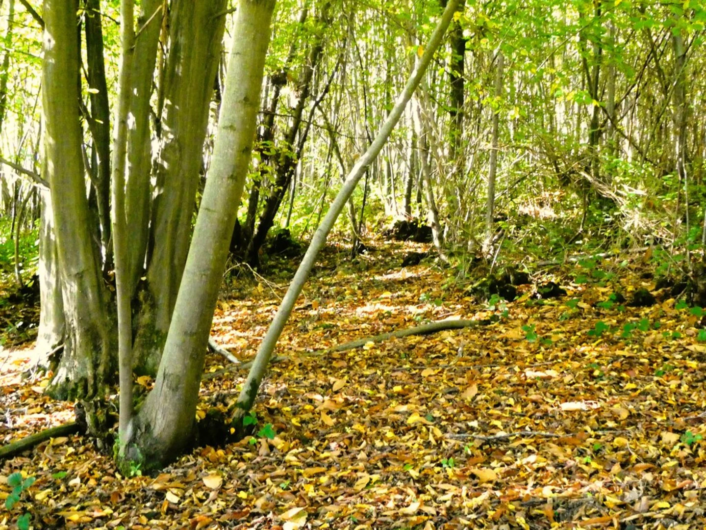
Significant Landmarks and Nature About 3 km (1.8 miles) into the hike, you'll come across the first significant landmark: the ancient woodlands of Cromer's Wood. This area is a haven for wildlife, including deer, foxes, and a variety of bird species. Keep an eye out for the rare nightingale, which is known to inhabit these woods during the spring and early summer months.
Historical Significance Cromer's Wood is not just a natural wonder; it also holds historical significance. The woodlands are believed to have been part of the ancient Saxon landscape, and you may even stumble upon remnants of old boundary markers and ancient pathways. These woods have been managed for centuries, and their historical importance is evident in the well-preserved flora and fauna.
Midway Point and Elevation Gain Around the 6 km (3.7 miles) mark, you'll reach the highest point of the trail, offering panoramic views of the surrounding countryside. This is a great spot to take a break and enjoy a packed lunch. The elevation gain here is about 50 meters (164 feet) from the starting point, making it the most challenging section of the hike.
Navigation and Safety The trail is well-marked, but it's always a good idea to have a reliable navigation tool. HiiKER is an excellent app for this purpose, providing detailed maps and real-time updates. Make sure to download the trail map before you start, as mobile signal can be patchy in some areas.
Flora and Fauna As you descend back towards Bapchild, you'll pass through open meadows and farmland. These areas are rich in wildflowers during the spring and summer months, attracting a variety of pollinators like bees and butterflies. The meadows also offer a different kind of beauty in the autumn, with golden hues and crisp air.
Final Stretch The last 3 km (1.8 miles) of the trail loop back towards Bapchild Country Park. This section is relatively flat and easy, allowing you to cool down as you finish your hike. You'll pass by a small pond, which is a great spot for bird-watching or simply enjoying the tranquility of the countryside.
This trail offers a perfect blend of natural beauty, wildlife, and historical significance, making it a rewarding experience for any hiker.

What to expect?
Activity types
Comments and Reviews
User comments, reviews and discussions about the Bapchild Country Park and Cromer's Wood, England.
4.0
average rating out of 5
1 rating(s)