Download
Preview
Add to list
More
12.9 km
~2 hrs 45 min
109 m
Point-to-Point
“This 13 km trail near the Isle of Wight blends coastal beauty, woodland serenity, and historical intrigue.”
Starting near the Isle of Wight, England, this 13 km (approximately 8 miles) point-to-point trail offers a delightful mix of coastal and woodland scenery. With an elevation gain of around 100 meters (328 feet), it is rated as medium difficulty, making it suitable for moderately experienced hikers.
Getting There To reach the trailhead, you can take a car or use public transport. If driving, head towards the Isle of Wight and park near the starting point, which is close to the Harelane Plantation. For those using public transport, buses and ferries are available from the mainland to the Isle of Wight, with local bus services connecting to the trailhead area.
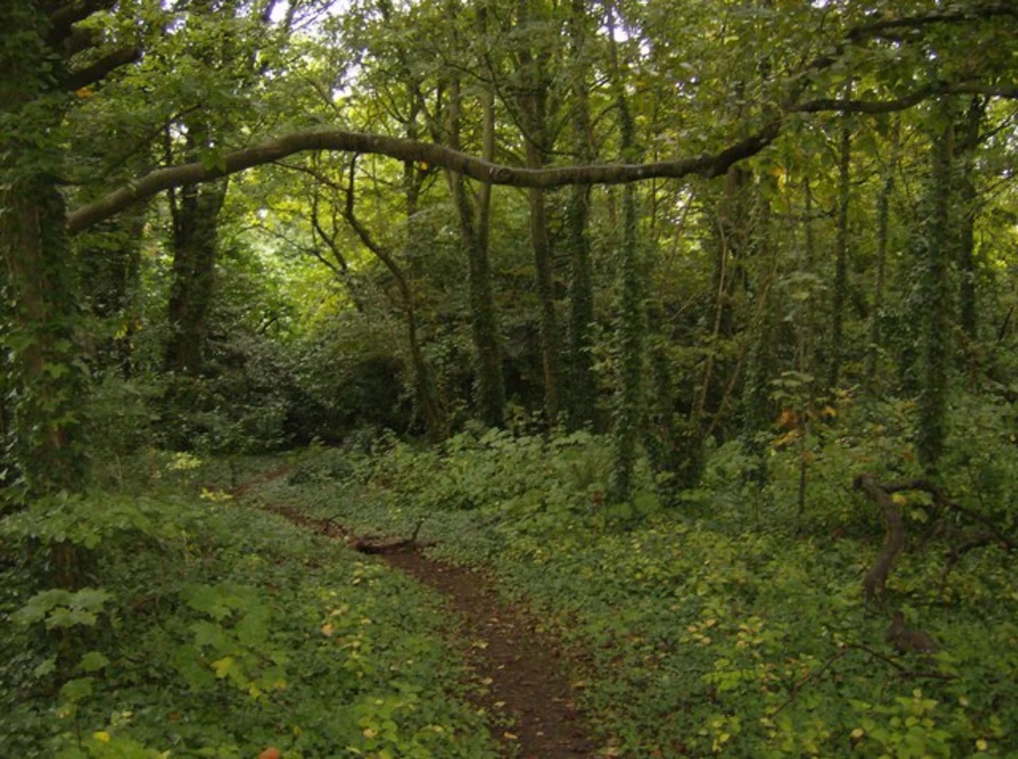
Trail Overview The trail begins near the Harelane Plantation, a serene woodland area that offers a peaceful start to your hike. As you set off, you'll be surrounded by a variety of native trees and plants, making it a great spot for nature enthusiasts. Keep an eye out for local wildlife, including red squirrels and various bird species.
Crangies Section After approximately 3 km (1.9 miles), you'll reach the Crangies area. This section is known for its rolling hills and open fields, providing panoramic views of the surrounding countryside. The elevation gain here is gradual, making it a pleasant walk with plenty of opportunities to stop and take in the scenery.
Historical Significance As you continue, you'll come across several landmarks with historical significance. The Isle of Wight has a rich history dating back to the Roman era, and remnants of this past can be seen along the trail. Look out for ancient stone walls and old farm buildings that tell the story of the island's agricultural heritage.
Gurnard Bay Around the 10 km (6.2 miles) mark, you'll begin to approach Gurnard Bay. This coastal section of the trail offers stunning views of the Solent and the mainland beyond. The bay is a popular spot for sailing and other water activities, so you might see boats dotting the water. The beach here is a mix of sand and pebbles, making it a great place to rest and enjoy the sea breeze.
Navigation and Safety For navigation, it's recommended to use the HiiKER app, which provides detailed maps and real-time updates. The trail is well-marked, but having a reliable navigation tool will ensure you stay on track. Be mindful of the weather, as coastal conditions can change rapidly. Wear appropriate footwear and bring layers to adjust to varying temperatures.
Final Stretch The final stretch of the trail takes you through more woodland and open fields before concluding near Gurnard Bay. This section is relatively flat, allowing for a leisurely end to your hike. As you finish, you'll have the opportunity to explore the local area, perhaps visiting a nearby café or pub to relax and reflect on your journey.
This trail offers a wonderful blend of natural beauty, historical landmarks, and coastal views, making it a rewarding experience for any hiker.

What to expect?
Activity types
Comments and Reviews
User comments, reviews and discussions about the Crangies, Harelane Plantation and Gurnard Bay Walk, England.
4.5
average rating out of 5
2 rating(s)