Download
Preview
Add to list
More
19.1 km
~4 hrs 21 min
319 m
Point-to-Point
“The Bembridge to Newport Walk offers scenic coastal views, historical landmarks, and charming villages over 19 kilometers.”
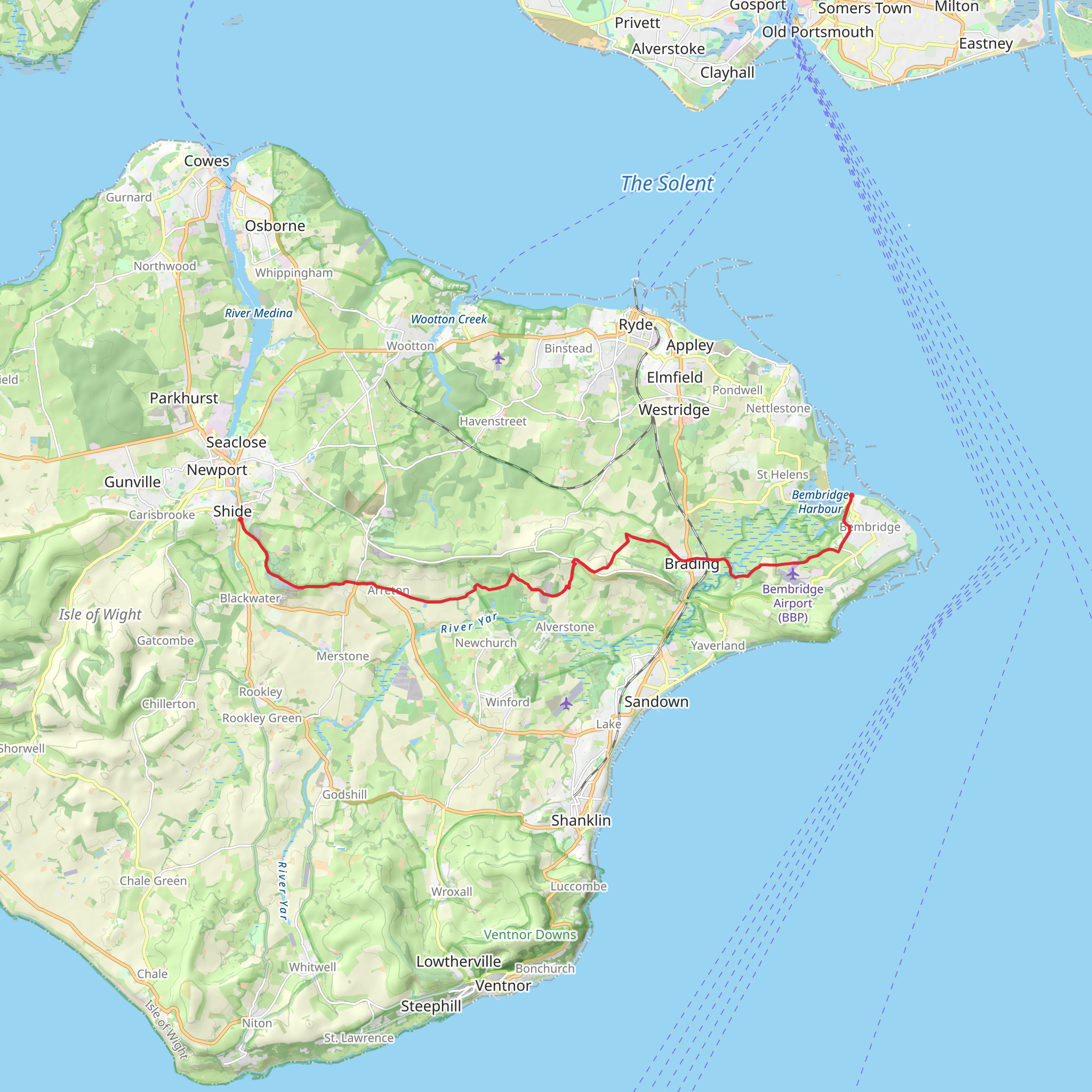
Starting near the picturesque village of Bembridge on the Isle of Wight, the Bembridge to Newport Walk spans approximately 19 kilometers (around 12 miles) with an elevation gain of about 300 meters (approximately 984 feet). This point-to-point trail is rated as medium difficulty, making it suitable for moderately experienced hikers.
Getting There To reach the trailhead in Bembridge, you can take a bus from Ryde, which is well-connected by ferry services from Portsmouth. If you're driving, there are parking facilities available in Bembridge, particularly near the Bembridge Windmill, a National Trust site that also serves as a good landmark to start your hike.
Trail Overview The trail begins in Bembridge, a charming coastal village known for its maritime heritage. As you set off, you'll pass the Bembridge Windmill, the last surviving windmill on the Isle of Wight, dating back to the early 18th century. This historical landmark offers a glimpse into the island's agricultural past.
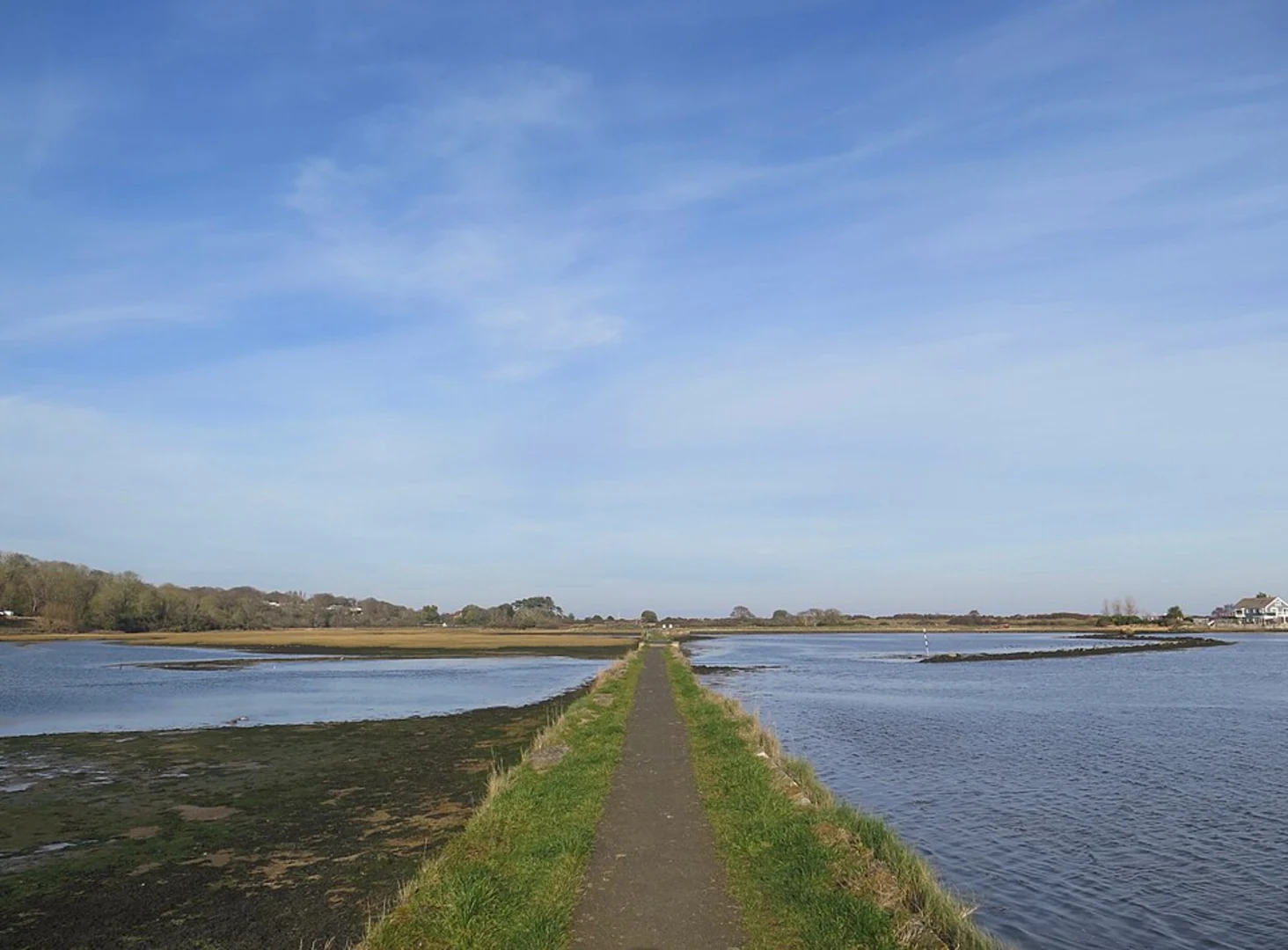
Coastal and Woodland Sections The initial part of the trail takes you along the coast, offering stunning views of the English Channel. Keep an eye out for the Bembridge Lifeboat Station, an iconic structure that has been saving lives at sea since the 19th century. As you continue, the path meanders through coastal woodlands, where you might spot red squirrels, a species native to the Isle of Wight.
Culver Down Around the 5-kilometer (3.1 miles) mark, you'll reach Culver Down, a chalk downland that rises to about 100 meters (328 feet) above sea level. This area is rich in history, with remnants of a Roman signal station and a World War II gun battery. The panoramic views from here are breathtaking, stretching across Sandown Bay and beyond.
Brading Roman Villa As you descend from Culver Down, the trail leads you towards Brading, where you can take a short detour to visit the Brading Roman Villa. This archaeological site features well-preserved mosaics and offers insights into Roman life on the island.
Through Farmland and Villages The next section of the trail takes you through rolling farmland and quaint villages like Newchurch and Arreton. These areas are dotted with traditional English cottages and ancient churches, providing a serene and picturesque backdrop for your hike.
Arreton Barns Around the 15-kilometer (9.3 miles) mark, you'll come across Arreton Barns, a craft village that showcases local artisans and their work. It's a great place to take a break, enjoy some refreshments, and perhaps pick up a unique souvenir.
Final Stretch to Newport The final stretch of the trail leads you through more farmland and into the outskirts of Newport, the island's principal town. As you approach Newport, you'll pass by the historic Carisbrooke Castle, a medieval fortress with a rich history dating back to the Norman Conquest.
Navigation and Safety For navigation, it's highly recommended to use the HiiKER app, which provides detailed maps and real-time updates. The trail is generally well-marked, but having a reliable navigation tool will ensure you stay on track.
Wildlife and Flora Throughout the hike, you'll encounter a variety of wildlife, including red squirrels, various bird species, and possibly even some deer. The flora is equally diverse, with coastal plants giving way to woodland species and agricultural crops as you move inland.
This trail offers a blend of coastal beauty, historical landmarks, and rural tranquility, making it a rewarding experience for those who undertake it.
What to expect?
Activity types
Comments and Reviews
User comments, reviews and discussions about the Bembridge to Newport Walk, England.
4.5
average rating out of 5
2 rating(s)

