Download
Preview
Add to list
More
10.4 km
~2 hrs 28 min
241 m
Loop
“St Martin's Loop: A 10 km scenic trail blending coastal views, historical landmarks, and moderate hiking challenges.”
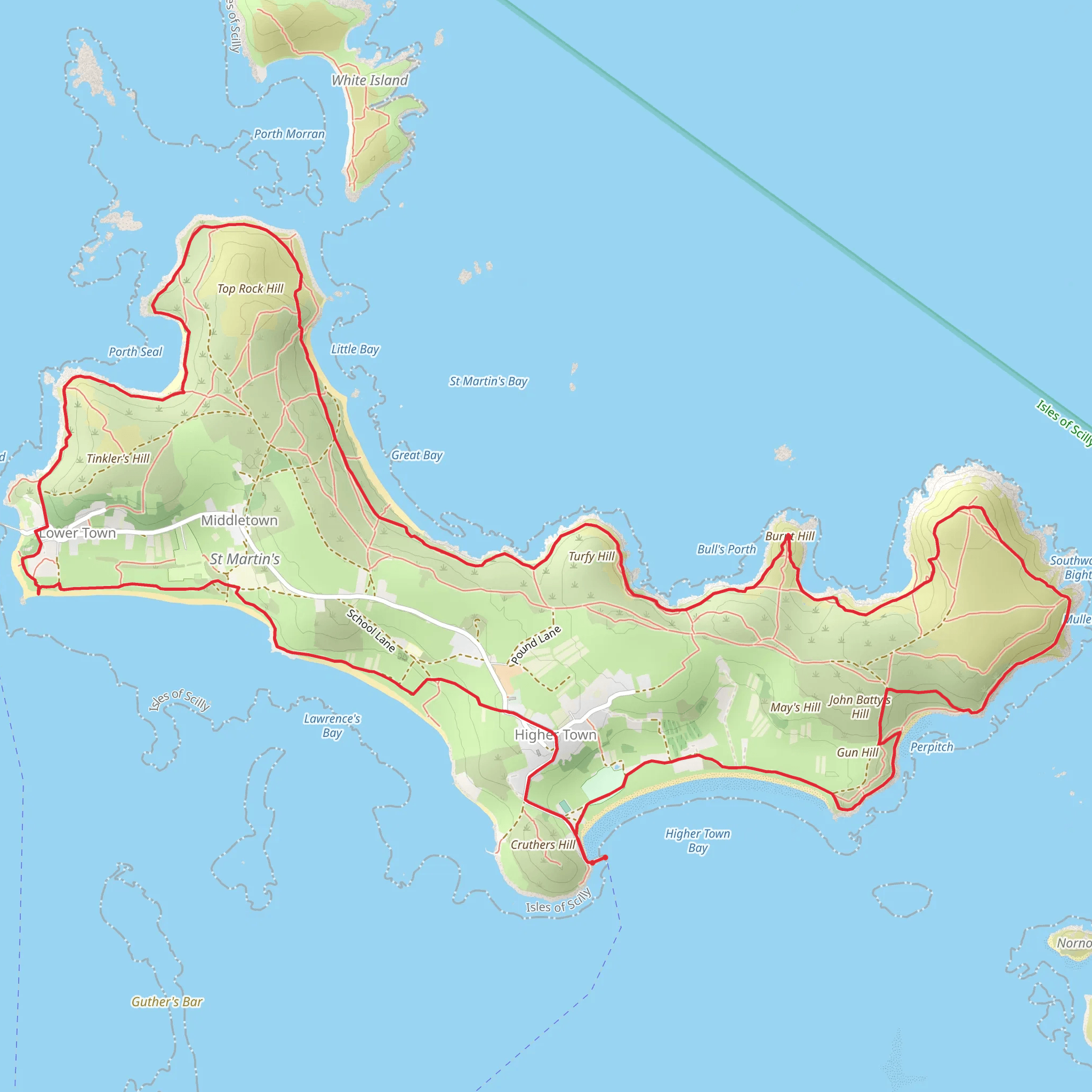
Starting near Higher Town in England, St Martin's Loop is a delightful 10 km (6.2 miles) trail with an elevation gain of around 200 meters (656 feet). This loop trail is estimated to be of medium difficulty, making it suitable for moderately experienced hikers.
Getting There To reach the trailhead, you can drive or use public transport. If driving, head towards Higher Town, where parking is available near the starting point. For those using public transport, the nearest major town is Penzance. From Penzance, you can take a ferry to St Mary's, followed by a local boat service to St Martin's. The trailhead is conveniently located near the Higher Town quay.
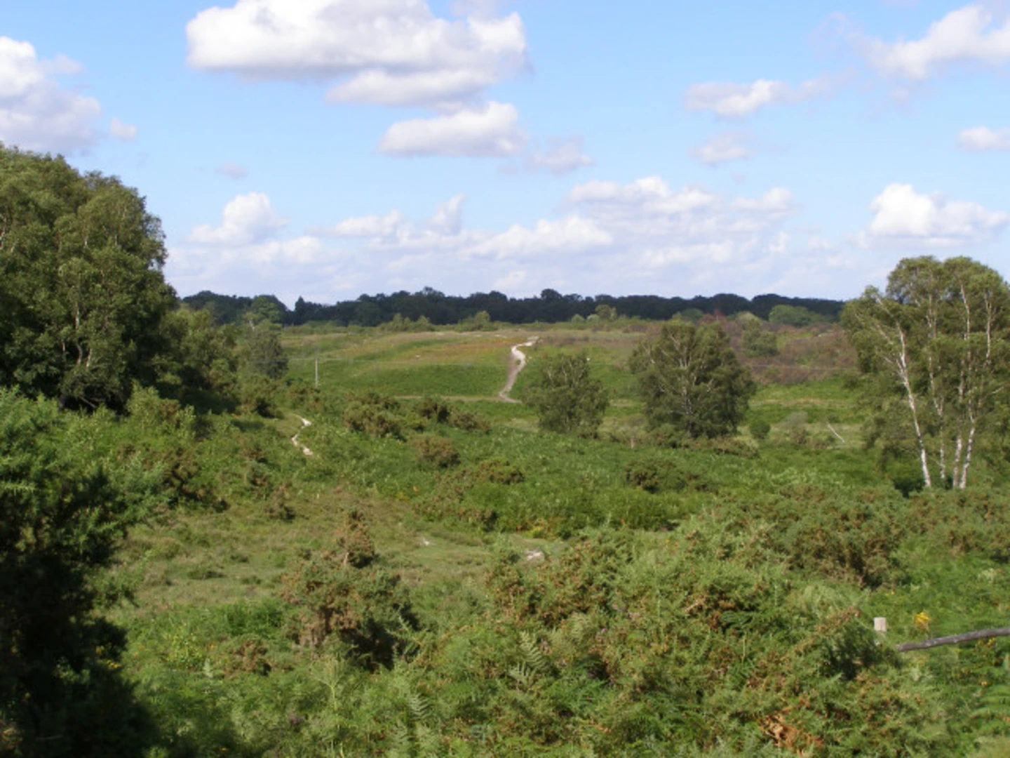
Trail Overview The trail begins with a gentle ascent, offering panoramic views of the surrounding landscape. As you progress, you'll encounter a mix of coastal paths and inland tracks, providing a diverse hiking experience. The initial 2 km (1.2 miles) takes you through lush meadows and past ancient stone walls, remnants of the island's agricultural history.
Significant Landmarks - **Higher Town Quay**: Starting point of the trail, offering stunning views of the coastline. - **Daymark**: At approximately 3 km (1.9 miles) into the hike, you'll reach the Daymark, a prominent navigational aid built in 1683. This historical structure is a great spot for a short break and some photos. - **Great Bay**: Around the 5 km (3.1 miles) mark, you'll come across Great Bay, a pristine beach perfect for a quick dip or a picnic. The clear waters and white sands make it a highlight of the trail.
Nature and Wildlife St Martin's Loop is rich in biodiversity. The coastal sections of the trail are home to a variety of seabirds, including puffins and razorbills. Inland, you might spot rabbits and hedgehogs, as well as a range of wildflowers such as sea thrift and heather. The island's mild climate supports a unique ecosystem, so keep your eyes peeled for rare plant species.
Navigation and Safety While the trail is well-marked, it's advisable to use a reliable navigation tool like HiiKER to ensure you stay on track. The terrain can be uneven in places, so sturdy hiking boots are recommended. Carry sufficient water and snacks, as there are limited facilities along the route. Weather can change rapidly, so pack a waterproof jacket and check the forecast before setting out.
Historical Significance St Martin's has a rich history dating back to the Bronze Age. The island was once a hub for tin mining, and remnants of this industry can still be seen along the trail. The Daymark, built to guide sailors safely to shore, stands as a testament to the island's maritime heritage.
Final Stretch The last 2 km (1.2 miles) of the trail take you back towards Higher Town, descending gently through fields and offering final glimpses of the stunning coastal scenery. As you approach the end of the loop, you'll pass by several traditional cottages, giving you a sense of the island's quaint charm.
St Martin's Loop offers a perfect blend of natural beauty, historical landmarks, and moderate challenge, making it a rewarding hike for those looking to explore one of England's hidden gems.
What to expect?
Activity types
Comments and Reviews
User comments, reviews and discussions about the St Martin's Loop, England.
5.0
average rating out of 5
3 rating(s)

