Download
Preview
Add to list
More
12.1 km
~2 hrs 41 min
169 m
Loop
“A 12 km loop through Hampshire’s Ludshott Common, blending natural beauty, history, and moderate challenge.”
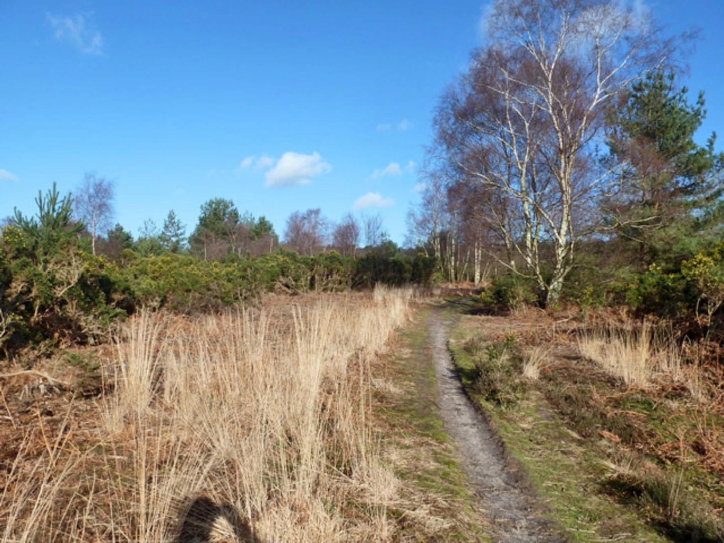
Starting near Hampshire, England, the Ludshott Common and Headley Down Loop is a delightful 12 km (approximately 7.5 miles) trail with an elevation gain of around 100 meters (328 feet). This loop trail is rated as medium difficulty, making it suitable for moderately experienced hikers.### Getting There To reach the trailhead, you can drive or use public transport. If driving, set your GPS to Ludshott Common, near Grayshott, Hampshire. For those using public transport, the nearest train station is Haslemere, from where you can take a local bus or taxi to the trailhead.### Trail Overview The trail begins at Ludshott Common, a significant area of heathland and woodland. As you start your hike, you'll be greeted by expansive views of the common, dotted with heather and gorse. The terrain here is relatively flat, making for an easy start.### Flora and Fauna Ludshott Common is a haven for wildlife. Keep an eye out for Dartford warblers, nightjars, and various species of butterflies. The common is also home to reptiles like the common lizard and the adder. The flora is equally diverse, with heather, gorse, and birch trees dominating the landscape.### Historical Significance This area is steeped in history. During World War II, Ludshott Common was used as a training ground for Canadian troops. You might come across remnants of old military structures, adding a historical layer to your hike.### Key Landmarks - Waggoners Wells: Around 4 km (2.5 miles) into the hike, you'll reach Waggoners Wells, a series of man-made ponds surrounded by ancient woodland. This is a perfect spot for a short break and some bird-watching. - Headley Down: As you continue, you'll enter Headley Down, a more wooded area with a slight elevation gain. The climb here is gentle but steady, offering panoramic views of the surrounding countryside.### Navigation The trail is well-marked, but it's always a good idea to have a reliable navigation tool. HiiKER is an excellent app for this purpose, providing detailed maps and real-time tracking to ensure you stay on course.### Terrain and Elevation The terrain varies from sandy paths to more rugged woodland trails. The total elevation gain is around 100 meters (328 feet), with the most significant climb occurring as you approach Headley Down. The trail then loops back, descending gradually as you return to Ludshott Common.### Practical Tips - Footwear: Sturdy hiking boots are recommended due to the varied terrain. - Weather: The weather can be unpredictable, so bring a waterproof jacket. - Water and Snacks: There are no facilities along the trail, so carry enough water and snacks for the entire hike. - Wildlife: Be respectful of the wildlife and keep a safe distance, especially from reptiles like adders.### Final Stretch As you make your way back to the starting point, the trail flattens out, offering a leisurely end to your hike. The loop nature of the trail ensures you won't cover the same ground twice, keeping the scenery fresh and engaging throughout.This 12 km loop offers a mix of natural beauty, historical intrigue, and moderate physical challenge, making it a rewarding experience for any hiker.

What to expect?
Activity types
Comments and Reviews
User comments, reviews and discussions about the Ludshott Common and Headley Down Loop, England.
5.0
average rating out of 5
2 rating(s)