Download
Preview
Add to list
More
3.8 km
~58 min
128 m
Loop
“The Leasowes Local Nature Reserve Loop in Halesowen offers scenic beauty, historical landmarks, and moderate hiking challenges.”
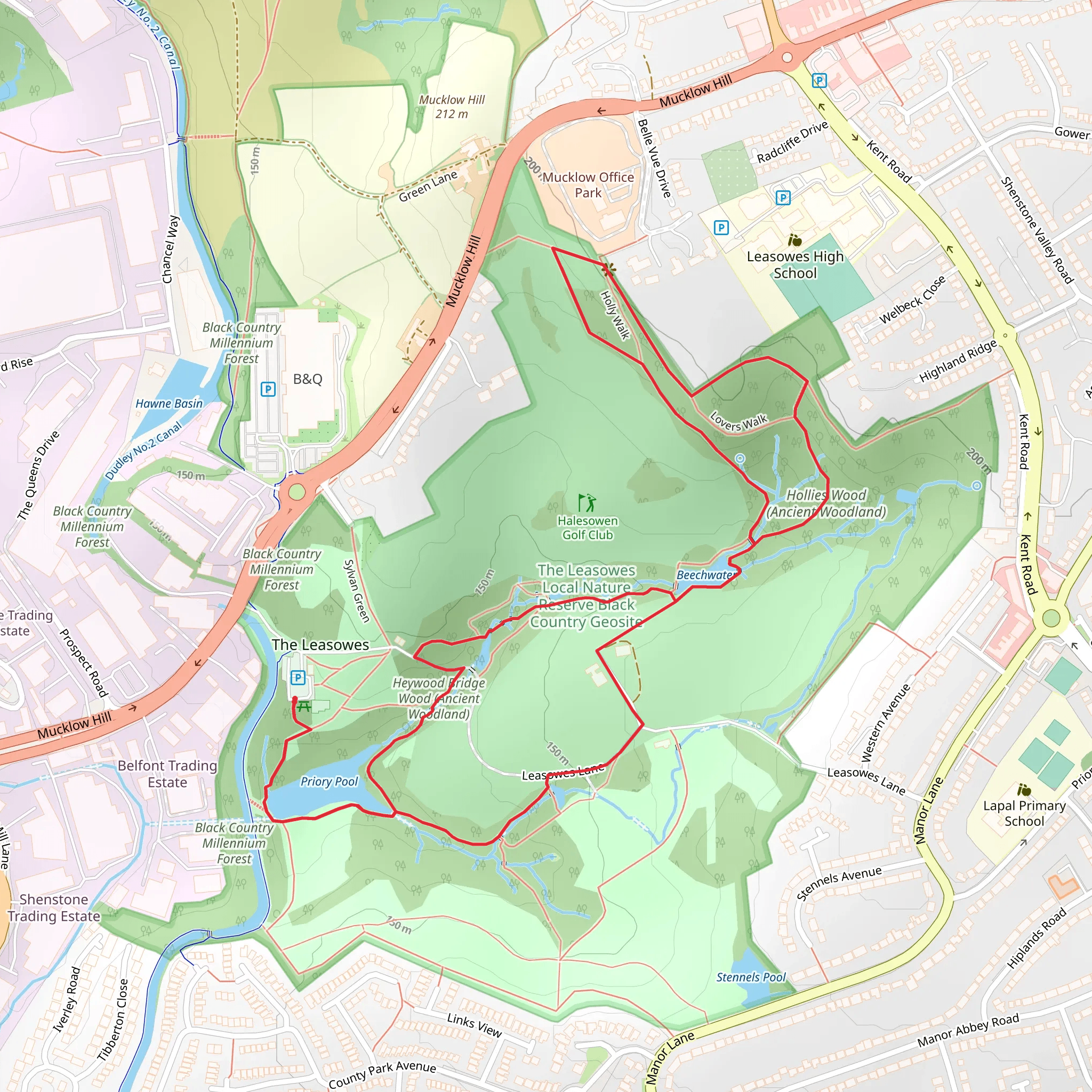
Starting near Halesowen, England, the Leasowes Local Nature Reserve Black Country Geosite Loop is a delightful 4 km (approximately 2.5 miles) loop trail with an elevation gain of around 100 meters (328 feet). This trail is rated as medium difficulty, making it suitable for hikers with a moderate level of fitness.
Getting There To reach the trailhead, you can drive to the Leasowes Park, located near Mucklow Hill, Halesowen, B62 8DH. If you prefer public transport, the nearest bus stop is on Mucklow Hill, serviced by several local bus routes. From there, it's a short walk to the park entrance.
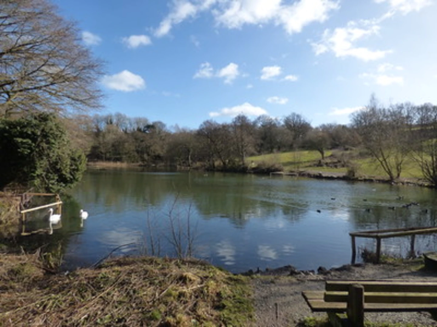
Trail Overview The trail begins at the main entrance of Leasowes Park, a historic landscape designed by the poet William Shenstone in the 18th century. As you start your hike, you'll be greeted by a picturesque landscape featuring rolling hills, woodlands, and serene water features.
Key Landmarks and Points of Interest - **The Cascade**: About 0.5 km (0.3 miles) into the hike, you'll encounter The Cascade, a charming waterfall that was part of Shenstone's original design. This is a great spot for a quick rest and some photos. - **The Serpentine**: At around 1 km (0.6 miles), you'll come across The Serpentine, a winding watercourse that adds a touch of tranquility to the landscape. The path here is relatively flat, making it an easy section of the trail. - **The Obelisk**: Approximately 2 km (1.2 miles) into the hike, you'll reach The Obelisk, a historical monument that offers a glimpse into the area's rich past. This is also one of the higher points on the trail, providing a modest elevation gain and a rewarding view of the surrounding countryside.
Flora and Fauna The Leasowes is a haven for wildlife, with a variety of bird species such as woodpeckers, kingfishers, and herons frequently spotted along the trail. The woodlands are home to ancient oak and beech trees, and during spring and summer, the meadows burst into a riot of wildflowers, including bluebells and primroses.
Navigation and Safety The trail is well-marked, but it's always a good idea to have a reliable navigation tool. HiiKER is an excellent app for this purpose, providing detailed maps and real-time tracking to ensure you stay on course. The terrain can be uneven in places, so sturdy hiking boots are recommended. Also, be mindful of the weather, as the trail can become muddy and slippery after rain.
Historical Significance The Leasowes is not just a nature reserve but also a site of historical importance. Designed by William Shenstone in the 18th century, it is one of the earliest examples of a naturalistic landscape garden in England. Shenstone's innovative design principles influenced many later landscape architects, making this trail a walk through both natural beauty and historical legacy.
Final Stretch As you loop back towards the starting point, the trail takes you through more wooded areas and past several small ponds. The final 1 km (0.6 miles) is relatively flat and easy, allowing you to cool down and reflect on the diverse landscapes and historical elements you've encountered.
This trail offers a perfect blend of natural beauty, historical intrigue, and moderate physical challenge, making it a rewarding experience for any hiker.
What to expect?
Activity types
Comments and Reviews
User comments, reviews and discussions about the The Leasowes Local Nature Reserve Black Country Geosite Loop, England.
4.5
average rating out of 5
2 rating(s)

