Download
Preview
Add to list
More
12.2 km
~2 hrs 55 min
297 m
Loop
“Embark on a scenic, medium-difficulty 12km journey through Southam's historical landscapes, brimming with wildlife and panoramic countryside views.”
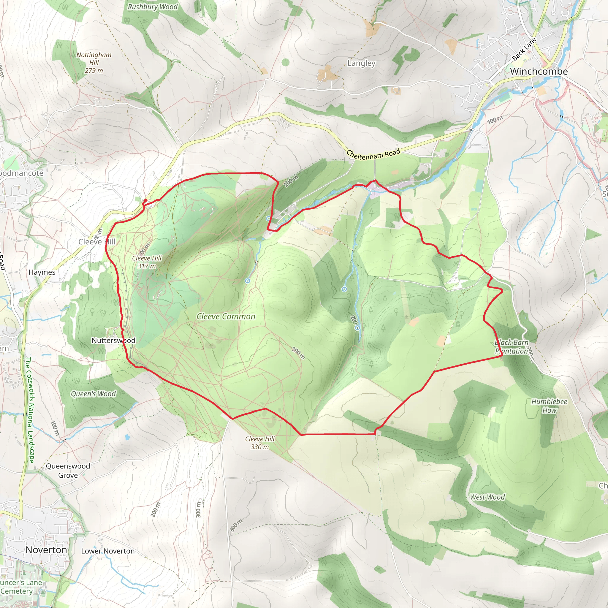
Nestled in the picturesque countryside near Gloucestershire, England, the Southam Country Park Loop is an inviting trail that spans approximately 12 kilometers (about 7.5 miles) and features an elevation gain of around 200 meters (approximately 656 feet). This loop trail is considered to have a medium difficulty rating, making it suitable for hikers with some experience as well as those looking to challenge themselves a bit more.
Getting to the Trailhead
To reach the trailhead, if you're coming by car, you can navigate to Southam, a village located just east of Cheltenham. There is parking available near the entrance of Southam Country Park. For those opting for public transport, buses run from Cheltenham's town center to the outskirts of Southam, where it's a short walk to the park's entrance.
Trail Experience
As you embark on the Southam Country Park Loop, you'll be greeted by a mix of well-maintained paths and natural trails. The route takes you through a variety of landscapes, including open fields, dense woodlands, and along serene riverbanks. The initial section of the trail is relatively flat, allowing you to ease into the hike and take in the surrounding beauty.
Historical Significance
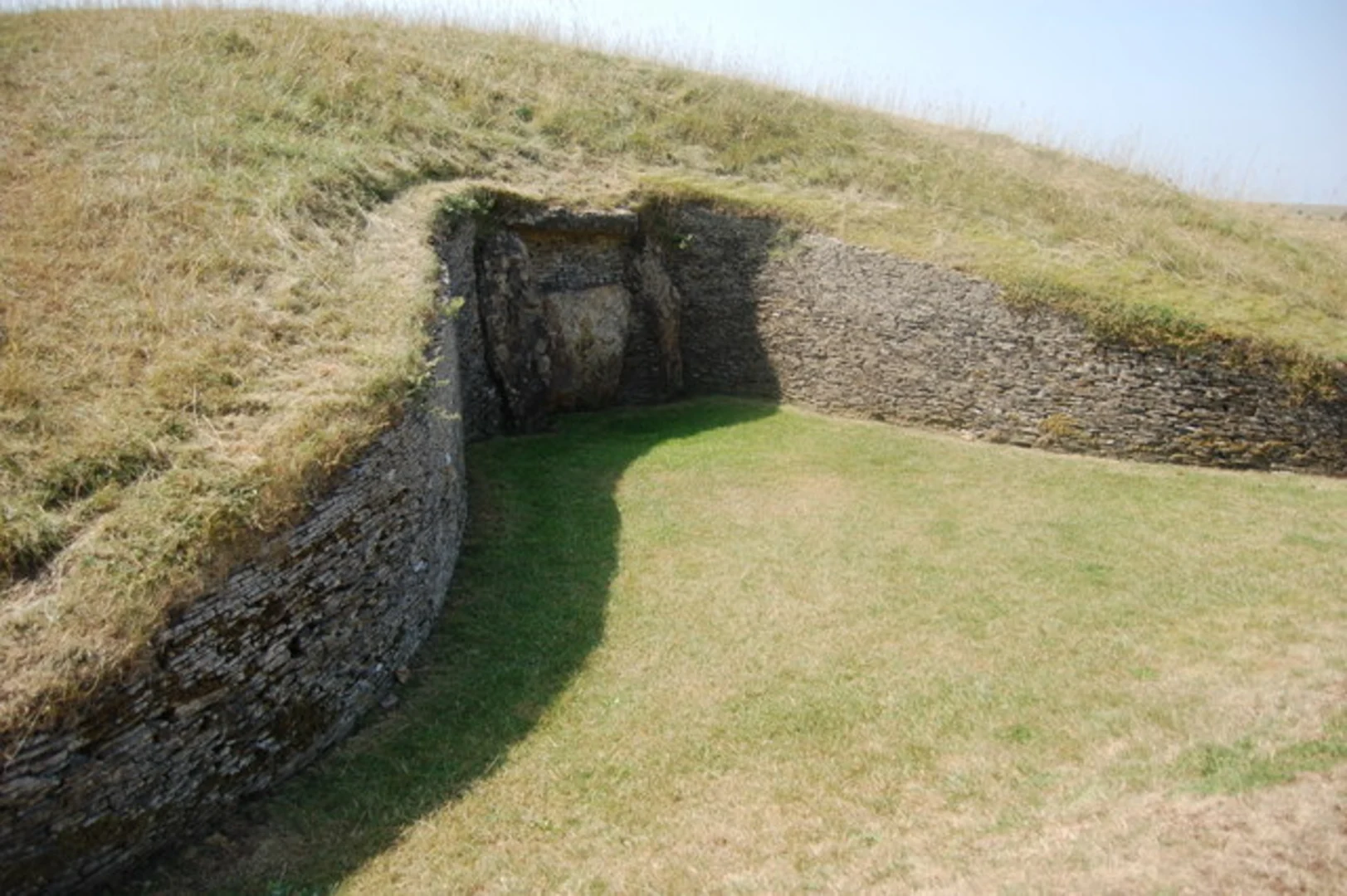
The area is steeped in history, with Southam being a settlement of significance since the medieval period. As you hike, you may come across remnants of this past, such as ancient hedgerows and old farming terraces. The trail also offers views of the Cotswolds, a range of rolling hills designated as an Area of Outstanding Natural Beauty, which has been shaped by human activity since the Neolithic period.
Wildlife and Nature
Keep an eye out for the diverse wildlife that inhabits the area. The woodlands and fields are home to various bird species, while the riverbanks may reveal glimpses of otters and water voles. The changing seasons bring different flora to life, with wildflowers blooming in spring and summer, and the trees displaying a vibrant palette of colors in the autumn.
Navigating the Trail
For navigation, HiiKER is an excellent tool to use on this loop. It will help you stay on track and provide real-time updates on your location. The trail is well-signed, but having a digital map can be invaluable, especially at trail intersections or less defined sections.
Elevation and Terrain
The most challenging part of the hike comes midway through the loop, where you'll encounter the majority of the elevation gain. The inclines are moderate but can be a bit strenuous, so it's important to pace yourself. After reaching the highest point of the trail, you'll be rewarded with panoramic views of the surrounding countryside before descending back towards the trailhead.
Preparation and Planning
Before setting out, ensure you have adequate water and snacks, as there are limited facilities along the route. The weather in England can be unpredictable, so dress in layers and bring waterproof gear just in case. Lastly, check the local weather forecast and trail conditions, as parts of the trail can become muddy after rain.
By preparing accordingly and respecting the natural environment, your hike along the Southam Country Park Loop is sure to be an enjoyable and memorable experience.
What to expect?
Activity types
Comments and Reviews
User comments, reviews and discussions about the Southam Country Park Loop, England.
4.57
average rating out of 5
7 rating(s)

