Download
Preview
Add to list
More
9.6 km
~2 hrs 36 min
412 m
Loop
“Discover a scenic 10 km loop near Gloucestershire, blending natural beauty, history, and moderate challenge.”
Starting near Gloucestershire, England, this 10 km (approximately 6.2 miles) loop trail offers a delightful mix of natural beauty, historical landmarks, and moderate physical challenge. With an elevation gain of around 400 meters (about 1,312 feet), hikers can expect a rewarding experience that combines scenic vistas, dense woodlands, and open fields.
Getting There To reach the trailhead, you can drive or use public transport. If driving, set your GPS to Haresfield Beacon, near the village of Haresfield. For those using public transport, the nearest significant landmark is Stonehouse Railway Station. From there, you can take a local taxi or bus service to Haresfield Beacon.
Trail Overview The trail begins at Haresfield Beacon, a prominent hill offering panoramic views of the Severn Valley and the Cotswold escarpment. This initial section is relatively steep, gaining about 100 meters (328 feet) in elevation over the first 1.5 km (0.9 miles). The beacon itself is a historical site, once used as a signaling point during times of war.
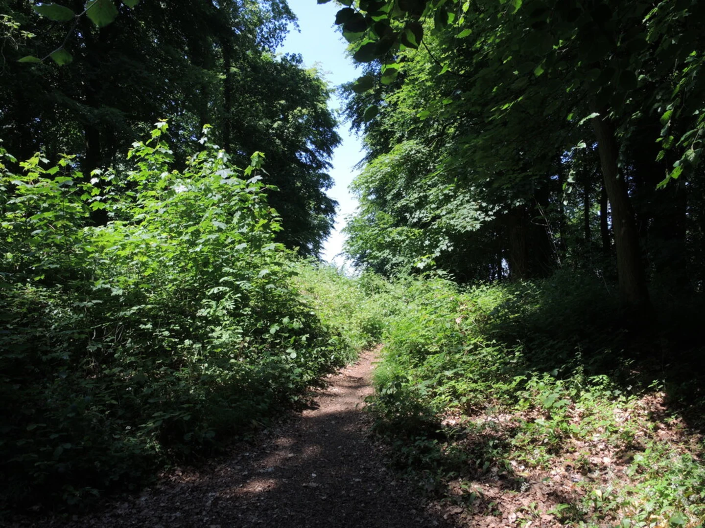
Standish Wood As you continue, the trail leads into Standish Wood, a dense woodland area rich in biodiversity. This section is relatively flat, making it a good place to catch your breath. Look out for ancient beech trees and a variety of bird species, including woodpeckers and nuthatches. The woodland floor is often carpeted with bluebells in the spring, adding a splash of color to your hike.
Maitlands Wood Around the 5 km (3.1 miles) mark, you'll enter Maitlands Wood. This area is known for its mixed deciduous trees and is slightly more challenging due to its undulating terrain. The elevation gain here is about 150 meters (492 feet) over 2 km (1.2 miles). Keep an eye out for deer and other wildlife that frequent this part of the trail.
Historical Significance The region is steeped in history, with remnants of Iron Age hill forts and Roman roads. Haresfield Beacon itself has archaeological significance, with evidence of ancient settlements. The trail also passes near the site of the Battle of Nibley Green, the last private battle fought on English soil in 1469.
Navigation and Safety Given the moderate difficulty of the trail, it's advisable to use a reliable navigation tool like HiiKER to ensure you stay on track. The trail is well-marked, but having a digital map can be invaluable, especially in the wooded sections where paths can be confusing.
Final Stretch The last 2.5 km (1.5 miles) of the loop bring you back towards Haresfield Beacon. This section is a mix of open fields and minor inclines, offering a gentle end to your hike. The views here are particularly stunning during sunset, making it a perfect spot to rest and reflect on your journey.
Wildlife and Flora Throughout the hike, you'll encounter a variety of flora and fauna. The woodlands are home to badgers, foxes, and a plethora of bird species. In the open fields, you might spot rabbits and hares. The diverse plant life includes wildflowers, ferns, and ancient trees, providing a rich tapestry of natural beauty.
Practical Tips Wear sturdy hiking boots, as the trail can be muddy, especially after rain. Bring plenty of water and some snacks, as there are no facilities along the route. A lightweight rain jacket is also advisable, given the unpredictable British weather.
This loop trail offers a balanced mix of physical challenge, natural beauty, and historical intrigue, making it a must-visit for any hiking enthusiast.

What to expect?
Activity types
Comments and Reviews
User comments, reviews and discussions about the Haresfield Beacon, Standish Wood and Maitlands Wood Loop, England.
4.4
average rating out of 5
5 rating(s)