Download
Preview
Add to list
More
29.9 km
~1 day 2 hrs
891 m
Point-to-Point
“Embark on a scenic, history-rich 30 km hike from Stroud with sweeping vistas and diverse wildlife.”
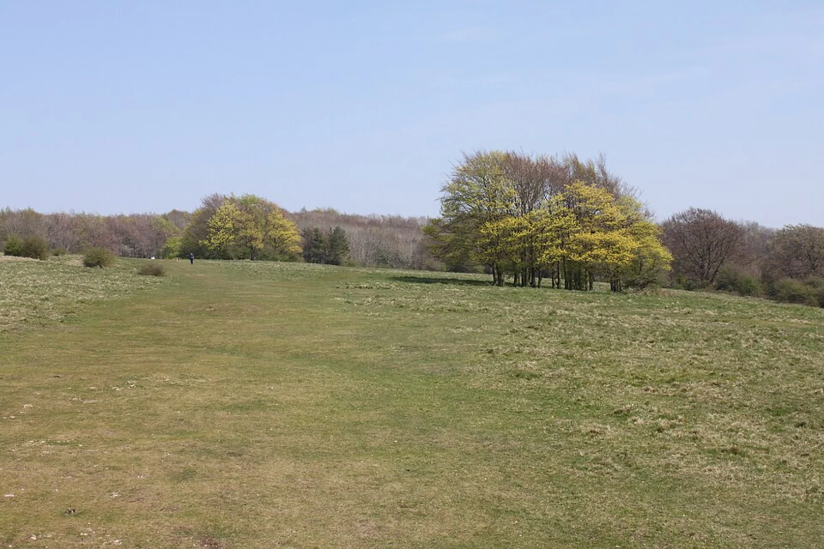
Starting near Gloucestershire, England, this 30 km (approximately 18.6 miles) point-to-point trail offers a medium difficulty hike with an elevation gain of around 800 meters (approximately 2,625 feet). The trailhead is accessible by car or public transport, with the nearest significant landmark being the town of Stroud. From Stroud, you can take a local bus or taxi to the starting point.### Initial Ascent and Haresfield BeaconThe hike begins with a gradual ascent through lush woodlands, leading you to Haresfield Beacon. This initial section covers about 5 km (3.1 miles) and gains roughly 200 meters (656 feet) in elevation. Haresfield Beacon offers panoramic views of the Severn Valley and the Forest of Dean. On a clear day, you can even see the Black Mountains in Wales. The beacon itself is a site of historical significance, once used as a signaling point during the Spanish Armada in the 16th century.### Standish WoodContinuing from Haresfield Beacon, the trail meanders through Standish Wood, a serene area filled with ancient beech trees. This section is relatively flat and stretches for about 4 km (2.5 miles). Keep an eye out for various bird species, including woodpeckers and nuthatches. The forest floor is often carpeted with bluebells in the spring, adding a splash of color to your hike.### Navigation and ToolsFor navigation, it's highly recommended to use HiiKER, which provides detailed maps and real-time updates. This will help you stay on track, especially in the more densely wooded areas where trails can become less distinct.### Coaley PeakAfter exiting Standish Wood, the trail ascends again towards Coaley Peak, covering another 6 km (3.7 miles) with an elevation gain of about 150 meters (492 feet). Coaley Peak is a popular picnic spot, offering sweeping views of the Cotswold escarpment and the Vale of Berkeley. The area is also rich in archaeological history, with several Neolithic long barrows nearby.### Final Stretch and Cotswold WayThe final stretch of the hike follows the Cotswold Way, a long-distance footpath that runs along the Cotswold escarpment. This section is about 15 km (9.3 miles) and includes a mix of rolling hills and flat sections. The trail passes through charming villages and open fields, providing a quintessential English countryside experience. Look out for the distinctive dry stone walls and thatched cottages that characterize the Cotswolds.### Wildlife and FloraThroughout the hike, you'll encounter a variety of wildlife, including deer, foxes, and numerous bird species. The flora is equally diverse, with wildflowers, ancient woodlands, and open meadows. The changing seasons bring different highlights, from spring blossoms to autumn foliage.### Getting ThereTo reach the trailhead, you can drive to Stroud and find parking in the town. Alternatively, Stroud is well-connected by train from major cities like London and Bristol. From Stroud, local buses or taxis can take you to the starting point near Haresfield Beacon.This trail offers a blend of natural beauty, historical landmarks, and diverse wildlife, making it a rewarding experience for any hiker.

What to expect?
Activity types
Comments and Reviews
User comments, reviews and discussions about the Haresfield Beacon and Standish Wood and Coaley Peak via Cotswold Way, England.
5.0
average rating out of 5
2 rating(s)