Download
Preview
Add to list
More
14.8 km
~3 hrs 48 min
510 m
Point-to-Point
“Embark on a scenic, moderately challenging 15 km hike from Coaley Peak to Wotton Under Edge, rich with history and nature.”
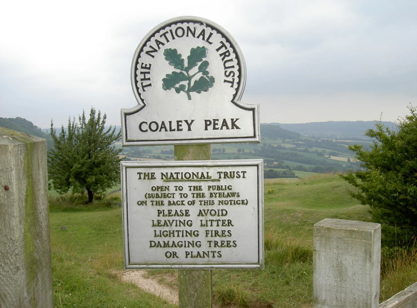
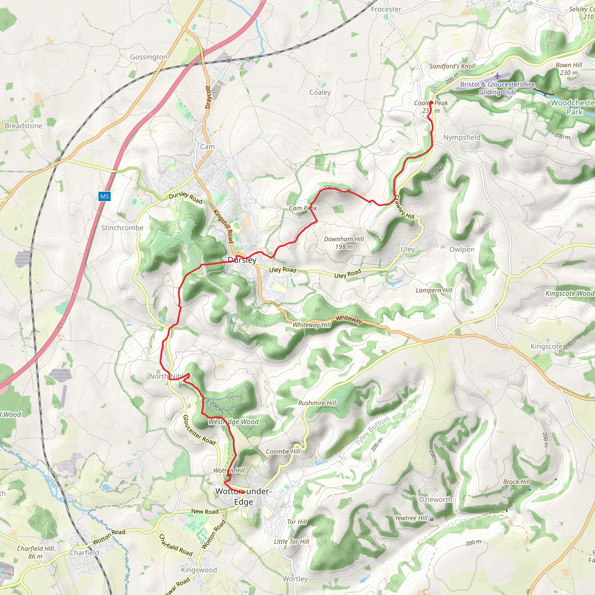
Starting near the picturesque Gloucestershire, England, the Coaley Peak to Wotton Under Edge Walk spans approximately 15 km (around 9.3 miles) with an elevation gain of about 500 meters (1,640 feet). This point-to-point trail is rated as medium difficulty, making it suitable for moderately experienced hikers.### Getting There To reach the trailhead, you can drive to Coaley Peak, which is located near the village of Nympsfield. If you prefer public transport, the nearest train station is in Stroud, from where you can take a local bus or taxi to Coaley Peak. The trailhead is well-marked and offers ample parking facilities.### Trail Overview The trail begins at Coaley Peak, a popular viewpoint that offers stunning panoramic views of the Severn Vale and the Forest of Dean. This initial section is relatively flat, allowing you to ease into the hike while enjoying the scenic vistas. As you proceed, the trail meanders through a mix of open fields and dense woodlands, providing a diverse hiking experience.### Significant Landmarks Around 3 km (1.9 miles) into the hike, you will come across the Nympsfield Long Barrow, an ancient Neolithic burial site. This historical landmark offers a glimpse into the region's rich past and is worth a brief stop.Continuing on, the trail ascends gradually, leading you through the enchanting Woodchester Park. This area is known for its serene lakes and the partially restored Woodchester Mansion, a 19th-century Gothic Revival house. The mansion is approximately 7 km (4.3 miles) from the start and makes for an excellent mid-point rest stop.### Nature and Wildlife The trail is abundant with wildlife, including deer, foxes, and a variety of bird species. The woodlands are particularly vibrant in spring and autumn, offering a colorful display of flora. Keep an eye out for bluebells in the spring and the changing leaves in the fall.### Elevation and Terrain The most challenging part of the hike comes around the 10 km (6.2 miles) mark, where the trail ascends steeply towards the Tyndale Monument. This climb is strenuous but rewarding, as the monument offers breathtaking views of the surrounding countryside. The elevation gain here is significant, so take your time and stay hydrated.### Final Stretch The last 5 km (3.1 miles) of the trail are relatively easier, descending gradually towards Wotton Under Edge. This charming market town is the perfect endpoint, offering various amenities including cafes, pubs, and shops where you can relax and refuel.### Navigation For navigation, it is highly recommended to use the HiiKER app, which provides detailed maps and real-time updates to ensure you stay on the right path.### Historical Significance The region is steeped in history, from the ancient burial sites to the medieval market towns. The Tyndale Monument, built in 1866, commemorates William Tyndale, a translator of the Bible into English, who was born nearby. This historical context adds a rich layer to your hiking experience, making it not just a physical journey but also a walk through time.This trail offers a balanced mix of natural beauty, historical landmarks, and moderate physical challenge, making it a rewarding experience for those who undertake it.
What to expect?
Activity types
Comments and Reviews
User comments, reviews and discussions about the Coaley Peak to Wotton Under Edge Walk, England.
4.75
average rating out of 5
4 rating(s)

