Download
Preview
Add to list
More
15.9 km
~3 hrs 29 min
183 m
Loop
“Explore the Lewes to Southease Loop, a scenic, historically rich 16 km trail for moderately experienced hikers.”
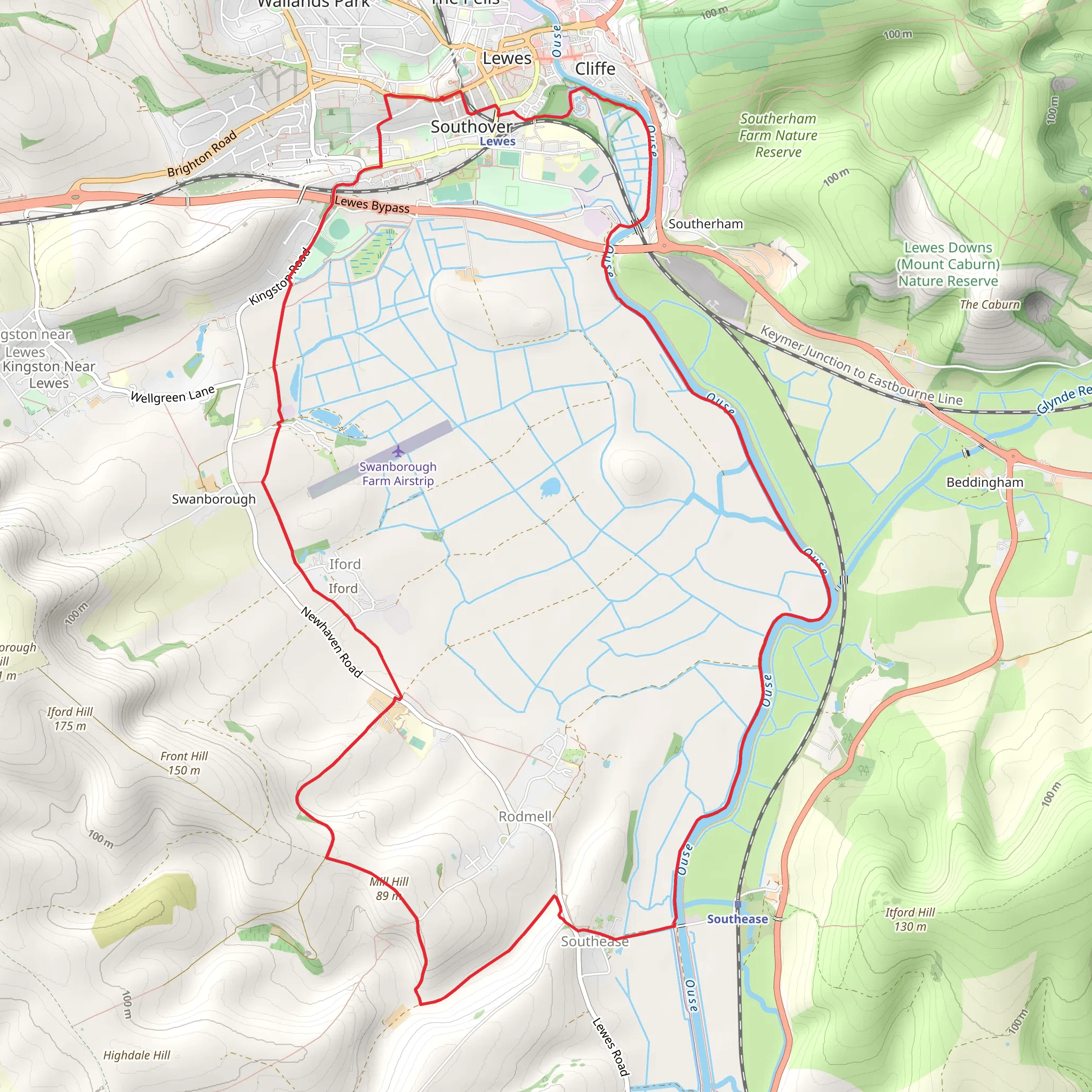
Starting near East Sussex, England, the Lewes to Southease Loop via River Ouse is a picturesque 16 km (approximately 10 miles) loop trail with an elevation gain of around 100 meters (328 feet). This trail is rated as medium difficulty, making it suitable for moderately experienced hikers.
Getting There To reach the trailhead, you can either drive or use public transport. If driving, you can park near Lewes Railway Station, which is conveniently located close to the starting point. For those using public transport, Lewes Railway Station is well-connected with regular train services from London and Brighton, making it easily accessible.
Trail Overview The trail begins in the historic town of Lewes, known for its medieval architecture and the impressive Lewes Castle. As you start your hike, you'll pass through the charming streets of Lewes before heading towards the River Ouse. The initial part of the trail is relatively flat, making for a gentle warm-up.
Along the River Ouse As you follow the River Ouse, you'll be treated to stunning views of the surrounding countryside. The riverbanks are home to a variety of wildlife, including kingfishers, herons, and occasionally otters. Keep an eye out for these creatures as you walk along the water's edge.
Historical Significance The River Ouse has significant historical importance. During the Norman Conquest, it served as a vital transportation route. The nearby Lewes Priory, founded in 1078, is another historical landmark worth noting. Although now in ruins, the priory was once one of the wealthiest monasteries in England.
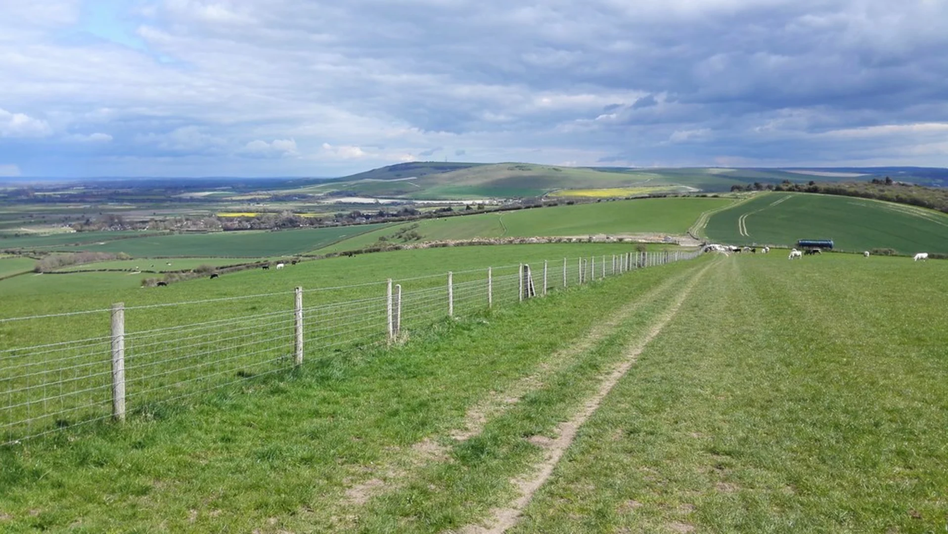
Southease and the South Downs Around the halfway point, you'll reach the village of Southease. This quaint village is home to the 12th-century St. Peter's Church, notable for its round tower, a rare architectural feature in England. From Southease, the trail ascends gently into the South Downs, offering panoramic views of the rolling hills and valleys.
Navigation and Terrain The terrain varies from flat riverbanks to gentle inclines as you approach the South Downs. The trail is well-marked, but it's advisable to use a reliable navigation tool like HiiKER to ensure you stay on track. The total elevation gain is around 100 meters (328 feet), with the most significant climbs occurring as you leave Southease and head back towards Lewes.
Flora and Fauna The South Downs are renowned for their rich biodiversity. Depending on the season, you might encounter wildflowers such as orchids and cowslips. The area is also a haven for birdwatchers, with species like skylarks and buzzards frequently spotted.
Returning to Lewes The final stretch of the trail descends back into Lewes, offering a different perspective of the town as you approach from the South Downs. This section provides a gentle cooldown, allowing you to reflect on the diverse landscapes and historical landmarks you've encountered.
Practical Tips - Wear sturdy hiking boots, as the terrain can be uneven in places. - Bring plenty of water and snacks, especially if hiking in warmer weather. - Check the weather forecast before setting out, as conditions can change rapidly. - Use HiiKER for navigation to ensure you stay on the correct path.
This trail offers a blend of natural beauty, historical intrigue, and moderate physical challenge, making it a rewarding experience for any hiker.
What to expect?
Activity types
Comments and Reviews
User comments, reviews and discussions about the Lewes to Southease Loop via River Ouse, England.
4.5
average rating out of 5
2 rating(s)

