Download
Preview
Add to list
More
9.1 km
~2 hrs 3 min
151 m
Loop
“Explore the scenic Welton and Turtle Hill Loop—9 km of nature, history, and moderate hiking challenges.”
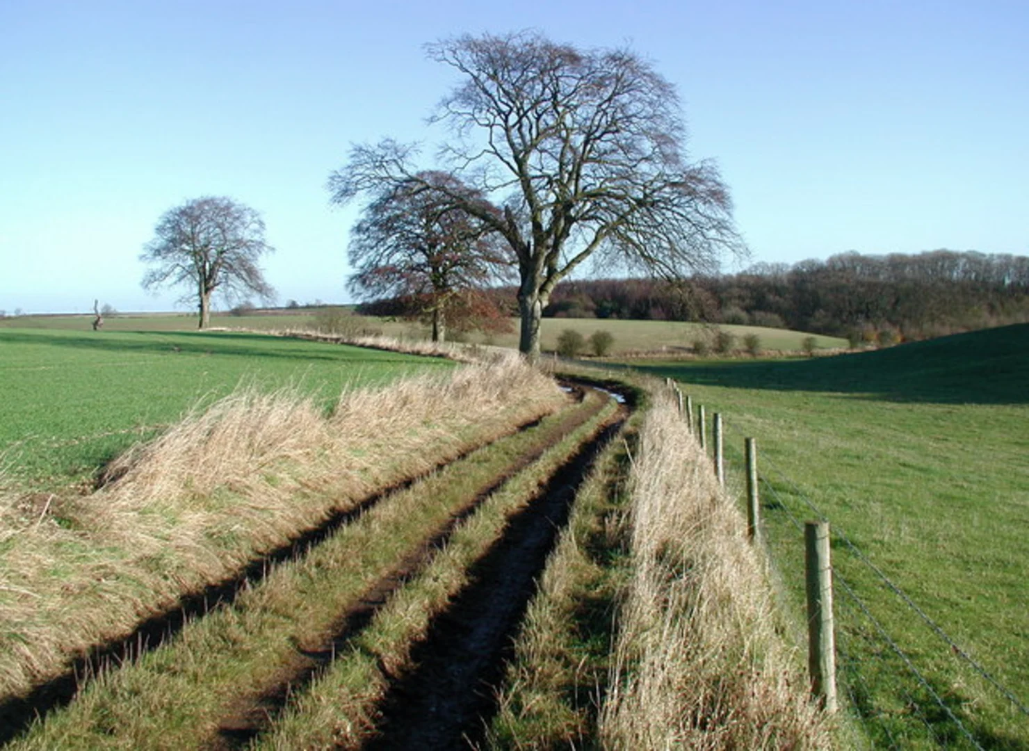
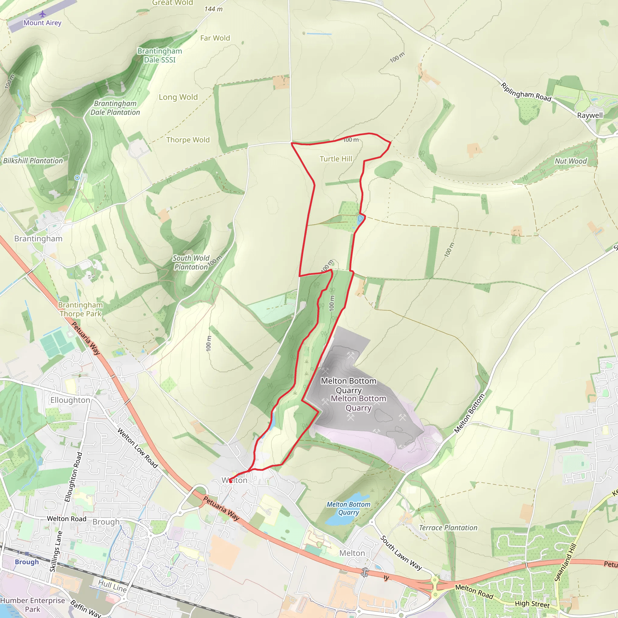
Starting near East Riding of Yorkshire, England, the Welton and Turtle Hill Loop is a delightful 9 km (approximately 5.6 miles) trail with an elevation gain of around 100 meters (328 feet). This loop trail is rated as medium difficulty, making it suitable for moderately experienced hikers.
Getting There To reach the trailhead, you can drive or use public transport. If driving, set your GPS to Welton, East Riding of Yorkshire. There is a small parking area near the village center. For those using public transport, the nearest train station is Brough, which is about 2 miles (3.2 km) from Welton. From Brough, you can either take a taxi or enjoy a pleasant walk to the trailhead.
Trail Overview The trail begins in the picturesque village of Welton, known for its charming stone cottages and historic church, St. Helen's, which dates back to the 12th century. As you start your hike, you'll pass through the village and soon find yourself on a well-marked path leading into the countryside.
Key Sections and Landmarks
#### Welton Dale About 1.5 km (0.9 miles) into the hike, you'll enter Welton Dale, a serene valley flanked by rolling hills and lush greenery. This section is relatively flat and offers a great opportunity to spot local wildlife, including deer and various bird species. Keep an eye out for the ancient woodland that lines the dale, providing a habitat for a diverse range of flora and fauna.
#### Turtle Hill At approximately 4 km (2.5 miles), you'll begin your ascent of Turtle Hill. The climb is gradual but steady, gaining about 100 meters (328 feet) in elevation. As you ascend, you'll be rewarded with panoramic views of the surrounding countryside. On a clear day, you can see as far as the Humber Estuary. This is a great spot to take a break and enjoy the scenery.
#### Historical Significance Turtle Hill is not just a natural landmark; it also holds historical significance. The hill is believed to have been a lookout point during the Roman era, and remnants of ancient fortifications can still be seen. Additionally, the area around Welton has a rich history dating back to the Domesday Book, making this hike a journey through both nature and time.
Navigation and Safety The trail is well-marked, but it's always a good idea to have a reliable navigation tool. HiiKER is an excellent app for this purpose, providing detailed maps and real-time GPS tracking to ensure you stay on course.
Flora and Fauna Throughout the hike, you'll encounter a variety of plant species, from wildflowers in the spring to vibrant autumn foliage. The area is also home to several species of birds, including kestrels and barn owls, making it a haven for birdwatchers.
Final Stretch As you descend Turtle Hill and make your way back towards Welton, the trail takes you through open fields and pastures. This final stretch is relatively easy and offers a peaceful end to your hike. You'll eventually loop back to the village, where you can explore local pubs and cafes for a well-deserved meal or refreshment.
This trail offers a perfect blend of natural beauty, historical intrigue, and moderate physical challenge, making it a rewarding experience for any hiker.
What to expect?
Activity types
Comments and Reviews
User comments, reviews and discussions about the Welton and Turtle Hill Loop, England.
4.0
average rating out of 5
2 rating(s)

