Download
Preview
Add to list
More
6.8 km
~1 hrs 36 min
146 m
Loop
“Discover the Melton Bottom Quarry Loop: a 7 km trail blending scenic beauty, history, and moderate hiking challenge.”
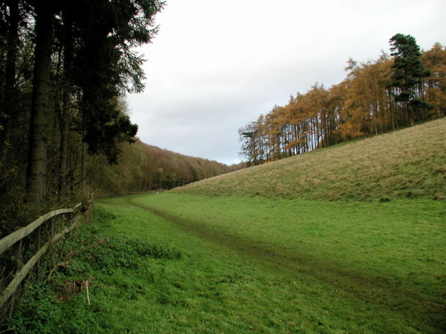
Starting near East Riding of Yorkshire, England, the Melton Bottom Quarry Loop is a captivating 7 km (approximately 4.3 miles) trail with an elevation gain of around 100 meters (328 feet). This loop trail is rated as medium difficulty, making it suitable for moderately experienced hikers.### Getting There To reach the trailhead, you can drive or use public transport. If driving, set your GPS to Melton Bottom Quarry, located near the village of Melton. For those using public transport, the nearest significant landmark is the North Ferriby railway station. From there, you can take a local bus or taxi to the trailhead.### Trail Overview The trail begins near the quarry and quickly immerses you in the natural beauty of the East Riding of Yorkshire. The initial section is relatively flat, allowing you to ease into the hike. As you progress, the trail starts to ascend gradually, offering panoramic views of the surrounding countryside.### Significant Landmarks and Nature Around the 2 km (1.2 miles) mark, you'll encounter the first significant landmark: the remnants of an old quarry. This area is rich in geological history, showcasing layers of sedimentary rock that date back millions of years. It's a great spot for a short break and some photography.Continuing on, the trail meanders through a mix of woodland and open fields. The diversity in flora is remarkable, with oak, ash, and beech trees providing a lush canopy. During spring and summer, the trail is adorned with wildflowers, adding a splash of color to your hike.### Wildlife Keep an eye out for local wildlife, including deer, foxes, and a variety of bird species. Birdwatchers will particularly enjoy spotting kestrels and buzzards soaring above the open fields.### Historical Significance At approximately 4 km (2.5 miles), you'll come across a historical marker indicating the site of an ancient Roman road. This road once connected the Roman settlements in the region and is a fascinating glimpse into the area's rich history.### Navigation The trail is well-marked, but it's always a good idea to have a reliable navigation tool. HiiKER is an excellent app for this purpose, providing detailed maps and real-time updates to ensure you stay on track.### Final Stretch The last 2 km (1.2 miles) of the trail involve a gentle descent back towards the starting point. This section offers stunning views of the Humber Estuary, especially during sunset. The trail loops back to the quarry, completing your journey.### Preparation Tips Given the medium difficulty rating, it's advisable to wear sturdy hiking boots and bring plenty of water. The trail can be muddy in sections, especially after rain, so be prepared for varying trail conditions. A light snack or packed lunch is also recommended, as there are several scenic spots perfect for a picnic.This trail offers a perfect blend of natural beauty, historical intrigue, and moderate physical challenge, making it a rewarding experience for any hiker.

What to expect?
Activity types
Comments and Reviews
User comments, reviews and discussions about the Melton Bottom Quarry Loop, England.
4.25
average rating out of 5
4 rating(s)