Download
Preview
Add to list
More
12.0 km
~2 hrs 41 min
183 m
Point-to-Point
“Embark on a scenic 12 km loop near Swanage, blending coastal views, wildlife, and historical landmarks.”
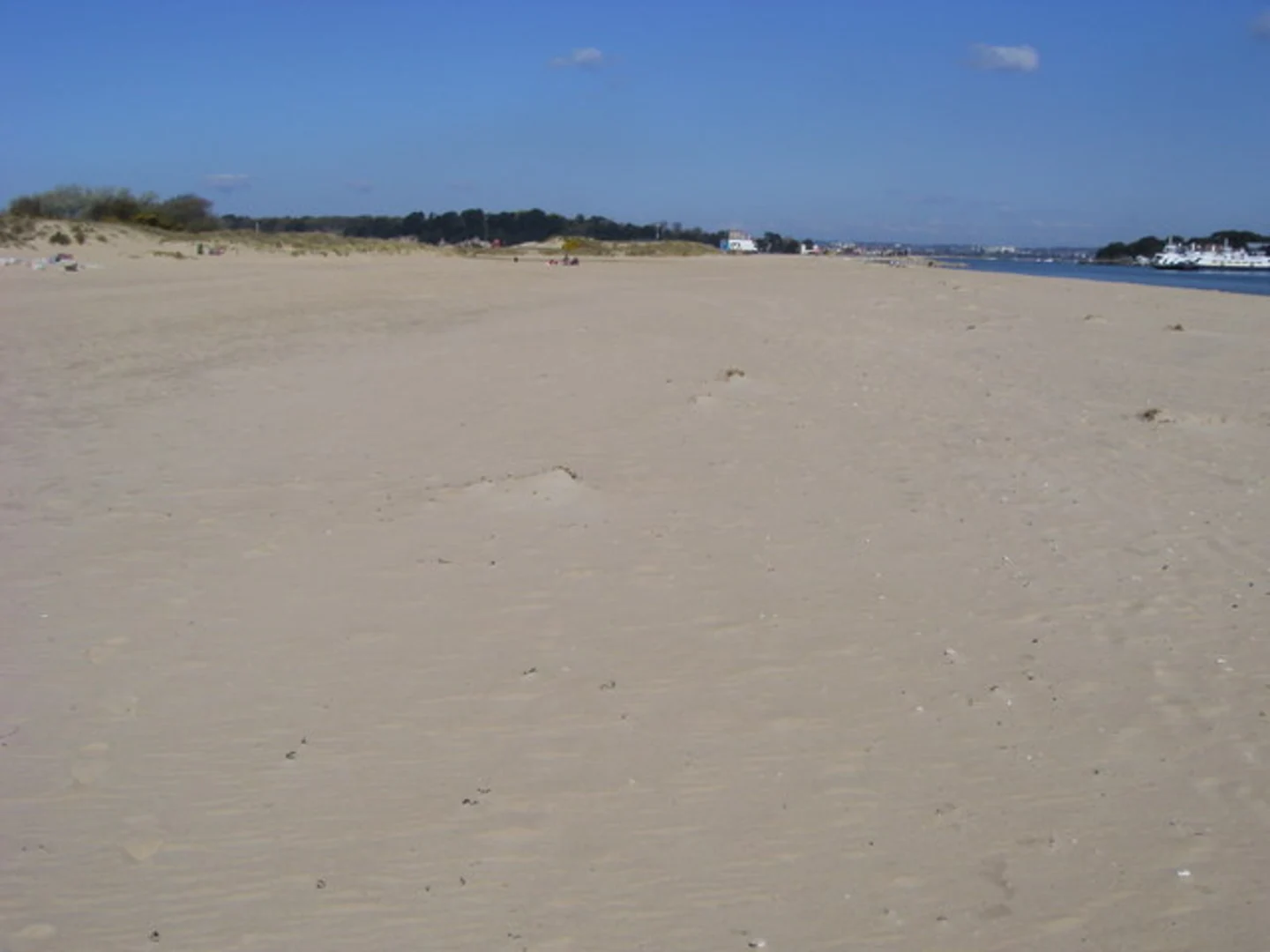
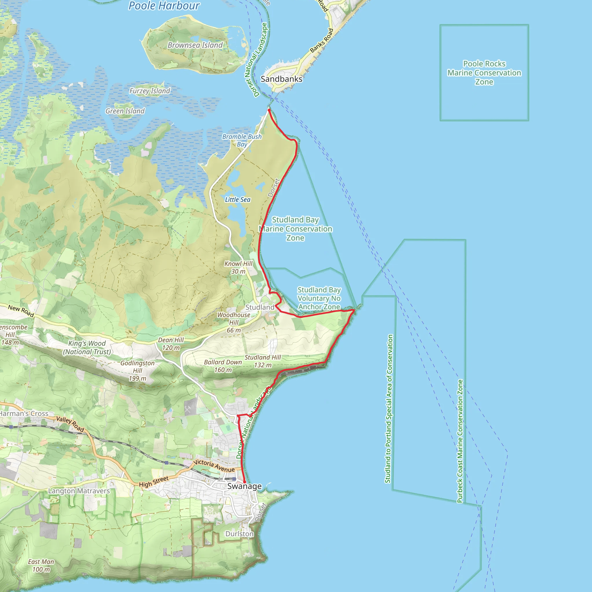
Starting near the picturesque town of Swanage in Dorset, England, this 12 km (approximately 7.5 miles) loop trail offers a delightful mix of coastal scenery, historical landmarks, and diverse wildlife. With an elevation gain of around 100 meters (328 feet), the trail is rated as medium difficulty, making it accessible for most hikers with a moderate level of fitness.### Getting There To reach the trailhead, you can either drive or use public transport. If driving, head towards Swanage, where parking is available near the town center. For those using public transport, Swanage is well-connected by bus services from nearby towns such as Bournemouth and Poole. The nearest significant landmark to the trailhead is the Swanage Pier, a historic Victorian pier that offers stunning views of the coastline.### Trail Overview The trail begins near Swanage Pier and heads west along the South West Coast Path. This initial section offers breathtaking views of the Jurassic Coast, a UNESCO World Heritage Site known for its geological significance and stunning cliffs. As you walk, keep an eye out for Old Harry Rocks, a series of chalk formations that mark the eastern end of the Jurassic Coast. These iconic stacks are approximately 3 km (1.9 miles) from the start and provide a fantastic photo opportunity.### Nature and Wildlife The trail meanders through a variety of landscapes, including coastal cliffs, heathlands, and woodlands. The diverse habitats support a wide range of wildlife. Birdwatchers will be delighted by the presence of seabirds such as puffins, guillemots, and razorbills. In the heathland areas, you might spot rare reptiles like the sand lizard and smooth snake. The woodlands are home to deer, foxes, and a variety of songbirds.### Historical Significance As you continue along the trail, you'll come across several points of historical interest. About 5 km (3.1 miles) into the hike, you'll reach Studland Bay, a site of significant historical importance. During World War II, this area was used for D-Day landing rehearsals. You can still see remnants of concrete bunkers and other wartime structures. The bay itself is a beautiful stretch of sandy beach, perfect for a short rest.### Navigation and Safety The trail is well-marked, but it's always a good idea to have a reliable navigation tool. HiiKER is an excellent app for this purpose, providing detailed maps and real-time updates. The terrain can be uneven in places, so sturdy hiking boots are recommended. Also, be mindful of the weather, as coastal conditions can change rapidly. Carrying a waterproof jacket and sufficient water is advisable.### Final Stretch The final section of the trail takes you through the serene Studland Heath before looping back towards South Haven Point. This area is managed by the National Trust and offers a peaceful end to your hike. The heathland is particularly beautiful in late summer when the heather is in full bloom. From South Haven Point, you can either retrace your steps back to Swanage or take a bus from the nearby Studland village.This trail offers a perfect blend of natural beauty, wildlife, and historical intrigue, making it a must-do for any hiking enthusiast visiting Dorset.
What to expect?
Activity types
Comments and Reviews
User comments, reviews and discussions about the Swanage to South Haven Point Loop, England.
4.43
average rating out of 5
7 rating(s)

