Download
Preview
Add to list
More
6.6 km
~1 hrs 33 min
145 m
Loop
“Immerse yourself in Dorset's serene countryside on a picturesque 7 km loop with historic and natural delights.”
Starting near the picturesque village of Dorset, England, the Banger's Moor and Town's End via Hardy Way trail offers a delightful 7 km (approximately 4.3 miles) loop with an elevation gain of around 100 meters (328 feet). This medium-difficulty trail is perfect for those looking to immerse themselves in the serene English countryside while enjoying a moderate workout.
Getting There To reach the trailhead, you can either drive or use public transport. If driving, set your GPS to the village of Dorset, where ample parking is available near the village center. For those using public transport, the nearest train station is Dorchester South, which is well-connected to major cities like London and Bristol. From Dorchester South, you can take a local bus to Dorset village, which is a short ride away.
Trail Overview The trail begins near the village center, where you'll immediately be greeted by the charming thatched cottages and cobblestone streets that Dorset is known for. As you leave the village, the path takes you through rolling meadows and open fields, offering panoramic views of the surrounding countryside.
Key Landmarks and Points of Interest - **Banger's Moor**: About 2 km (1.2 miles) into the hike, you'll reach Banger's Moor, a sprawling heathland known for its vibrant flora and fauna. Keep an eye out for wildflowers such as heather and gorse, especially in the late summer months when they are in full bloom. Birdwatchers will also appreciate the variety of species that inhabit this area, including skylarks and kestrels.
- Town's End: At approximately the 4 km (2.5 miles) mark, you'll arrive at Town's End, a small hamlet with a rich history. Here, you can explore the remnants of ancient stone cottages and a quaint, centuries-old church. This area offers a glimpse into the rural life of past centuries and is a great spot for a short rest.
Historical Significance The trail follows part of the Hardy Way, named after the famous English author Thomas Hardy, who drew much of his inspiration from the Dorset countryside. As you hike, you'll pass several locations that are mentioned in Hardy's novels, adding a layer of literary history to your journey. The landscape itself has remained largely unchanged since Hardy's time, providing a unique window into the past.
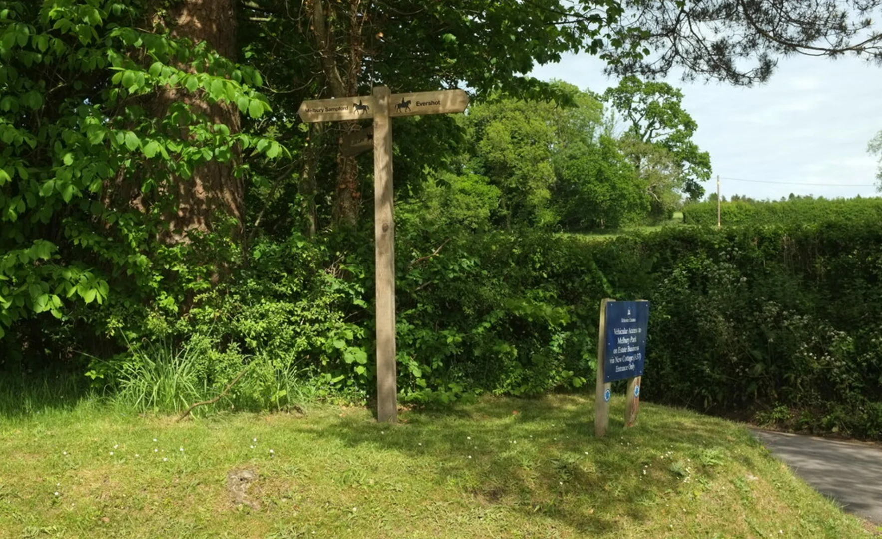
Navigation and Safety The trail is well-marked, but it's always a good idea to have a reliable navigation tool. The HiiKER app is highly recommended for this purpose, as it provides detailed maps and real-time updates. The terrain is generally gentle, but there are a few steeper sections, particularly as you approach the moor. Good hiking boots are advisable, especially after rain when the path can become muddy.
Flora and Fauna The trail offers a rich tapestry of natural beauty. In addition to the wildflowers on Banger's Moor, you'll encounter ancient oak and beech trees, particularly in the wooded sections near Town's End. Wildlife is abundant, with frequent sightings of deer, rabbits, and a variety of bird species. If you're lucky, you might even spot a rare red squirrel.
Final Stretch The last 2 km (1.2 miles) of the trail loop back towards Dorset village, passing through more open fields and offering stunning views of the surrounding hills. As you near the end of your hike, the sight of the village's iconic thatched roofs will signal your return to civilization.
This trail is a perfect blend of natural beauty, historical intrigue, and moderate physical challenge, making it an ideal choice for hikers of all levels.

What to expect?
Activity types
Comments and Reviews
User comments, reviews and discussions about the Banger's Moor and Town's End via Hardy Way, England.
4.0
average rating out of 5
1 rating(s)