Download
Preview
Add to list
More
16.1 km
~3 hrs 49 min
362 m
Loop
“Embark on the Monyash to Youlgreave Loop, a scenic 16 km trail teeming with natural beauty and historical intrigue.”
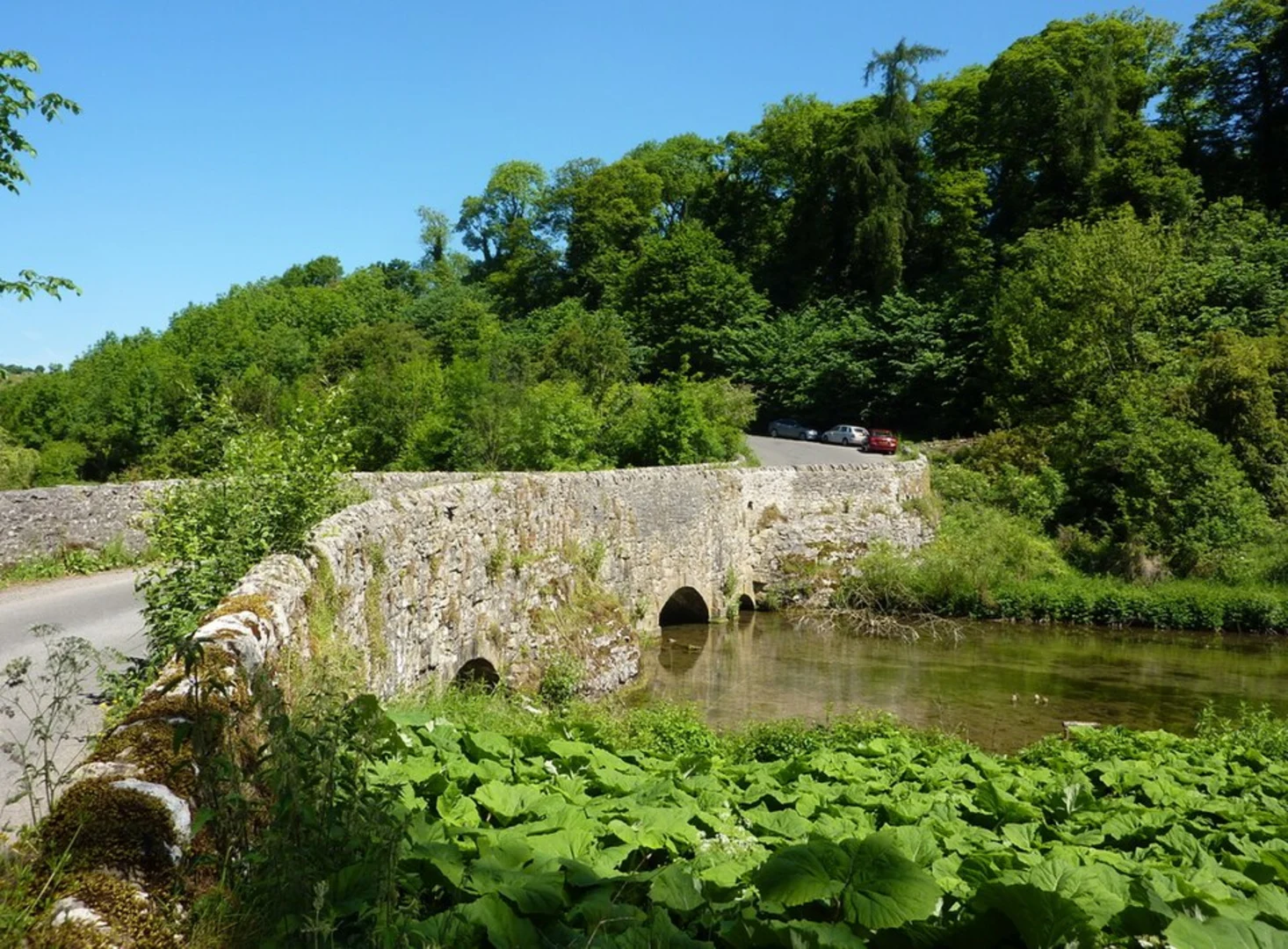
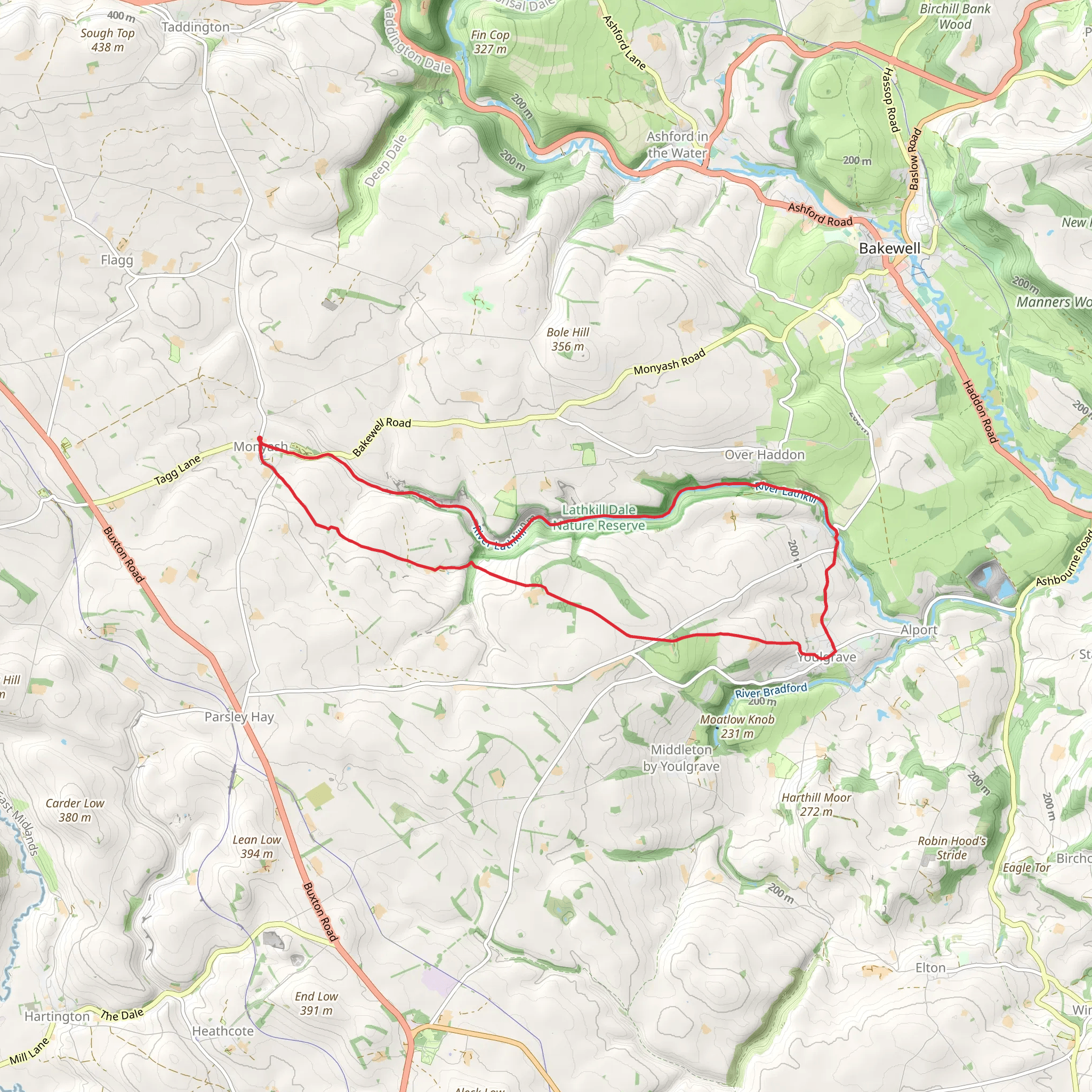
Starting near the picturesque village of Monyash in Derbyshire, England, the Monyash to Youlgreave Loop via River Lathkill is a delightful 16 km (approximately 10 miles) loop trail with an elevation gain of around 300 meters (984 feet). This trail is rated as medium difficulty, making it suitable for moderately experienced hikers.### Getting There To reach the trailhead, you can drive to Monyash, which is well-connected by road. If you prefer public transport, the nearest major town is Bakewell. From Bakewell, you can take a local bus to Monyash. The bus services are relatively frequent, but it's always a good idea to check the latest schedules.### Trail Overview The trail begins in Monyash, a charming village known for its historic limestone cottages and tranquil atmosphere. As you set off, you'll quickly find yourself immersed in the natural beauty of the Peak District National Park.### Key Landmarks and Sections#### Lathkill Dale One of the highlights of this trail is Lathkill Dale, a stunning limestone valley. As you descend into the dale, you'll be greeted by the sight of clear, babbling streams and lush greenery. The River Lathkill is known for its crystal-clear waters, which are home to a variety of aquatic life, including brown trout and grayling. Keep an eye out for kingfishers and dippers along the riverbanks.#### Historical Significance Lathkill Dale is not just a natural wonder; it also has historical significance. The area was once a hub for lead mining, and you can still see remnants of this industrial past. Look out for old mine shafts and the ruins of Bateman's House, which was once the home of a lead mine manager. These historical landmarks offer a glimpse into the region's rich industrial heritage.#### Youlgreave As you continue along the trail, you'll eventually reach the village of Youlgreave. This quaint village is known for its beautiful church, All Saints' Church, which dates back to the 12th century. The village itself is a great place to take a break, with several pubs and cafes where you can enjoy a meal or a refreshing drink.### Wildlife and Flora The trail is abundant with wildlife and flora. In addition to the aquatic life in the River Lathkill, the surrounding woodlands and meadows are home to a variety of bird species, including skylarks and meadow pipits. During the spring and summer months, the meadows are awash with wildflowers, including orchids and cowslips.### Navigation and Safety The trail is well-marked, but it's always a good idea to have a reliable navigation tool. HiiKER is an excellent app for this purpose, providing detailed maps and real-time tracking to ensure you stay on course. The terrain can be uneven and slippery, especially after rain, so sturdy hiking boots are recommended. ### Elevation and Terrain The total elevation gain of around 300 meters (984 feet) is spread throughout the trail, with some steep sections, particularly as you ascend out of Lathkill Dale. These climbs can be challenging but are manageable with a moderate level of fitness.### Final Stretch The loop brings you back to Monyash, where you can relax and reflect on your hike. The village has a few amenities, including a pub and a small shop, where you can replenish your supplies or enjoy a well-deserved meal.This trail offers a perfect blend of natural beauty, historical intrigue, and moderate physical challenge, making it a rewarding experience for any hiker.
What to expect?
Activity types
Comments and Reviews
User comments, reviews and discussions about the Monyash to Youlgreave Loop via River Lathkill, England.
4.4
average rating out of 5
5 rating(s)

