Download
Preview
Add to list
More
29.4 km
~1 day 2 hrs
1060 m
Loop
“The Mam Tor, Back Tor, Grindslow Knoll Loop is a breathtaking 29 km trail offering stunning landscapes, historical landmarks, and diverse wildlife.”
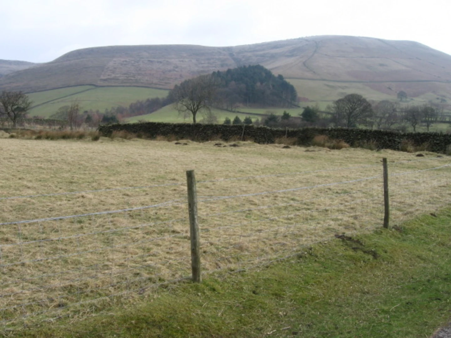
Starting near the picturesque village of Castleton in Derbyshire, England, the Mam Tor, Back Tor, Grindslow Knoll Loop is a captivating 29 km (18 miles) loop trail with an elevation gain of approximately 1000 meters (3280 feet). This trail offers a blend of stunning landscapes, historical landmarks, and diverse wildlife, making it a must-experience for avid hikers.### Getting There To reach the trailhead, you can drive to Castleton, where parking is available at the Castleton Visitor Centre. For those using public transport, the nearest train station is Hope Station, approximately 3 miles (4.8 km) from Castleton. From Hope Station, you can take a local bus or taxi to the village.### Trail Overview The trail begins with a steady ascent up Mam Tor, also known as the "Shivering Mountain" due to its frequent landslides. At 517 meters (1696 feet), Mam Tor offers panoramic views of the surrounding Peak District. The climb is relatively moderate, making it accessible for most hikers.### Mam Tor to Back Tor From Mam Tor, the trail continues along the Great Ridge, a well-defined path that connects Mam Tor to Back Tor. This section is approximately 3 km (1.9 miles) and features a series of undulating hills. The ridge provides breathtaking views of the Edale Valley to the north and the Hope Valley to the south. Keep an eye out for the remnants of ancient hill forts, evidence of the area's rich history dating back to the Bronze Age.### Back Tor to Lose Hill After reaching Back Tor, the trail proceeds to Lose Hill, another prominent peak in the area. This segment is about 2 km (1.2 miles) and involves a gentle climb. Lose Hill stands at 476 meters (1562 feet) and offers equally stunning vistas. The name "Lose Hill" is believed to derive from the Old English word "Hlose," meaning "pigsty," hinting at the area's agricultural past.### Descending into Edale From Lose Hill, the trail descends into the charming village of Edale, the starting point of the Pennine Way. This descent is roughly 4 km (2.5 miles) and takes you through lush meadows and past traditional dry stone walls. Edale is an excellent spot to take a break, with several pubs and cafes offering refreshments.### Climbing Grindslow Knoll Leaving Edale, the trail ascends towards Grindslow Knoll, a prominent hill at the southern end of the Kinder Scout plateau. This climb is about 3 km (1.9 miles) and can be quite steep in sections. At 601 meters (1972 feet), Grindslow Knoll provides expansive views of the surrounding moorland and valleys.### Returning to Castleton From Grindslow Knoll, the trail loops back towards Castleton, covering approximately 17 km (10.6 miles). This section takes you through varied terrain, including open moorland, wooded areas, and rolling hills. Along the way, you'll pass by historical landmarks such as the Peveril Castle, a Norman fortification dating back to the 11th century.### Wildlife and Nature The trail is home to a diverse range of flora and fauna. Look out for red grouse, skylarks, and mountain hares in the higher elevations. The lower valleys are rich with wildflowers, particularly in the spring and summer months. The area is also known for its limestone geology, with several caves and caverns to explore, including the famous Blue John Cavern near Castleton.### Navigation Given the varied terrain and potential for rapidly changing weather conditions, it's advisable to use a reliable navigation tool like HiiKER to stay on track. The app provides detailed maps and real-time updates, ensuring a safe and enjoyable hiking experience.This trail offers a perfect blend of natural beauty, historical intrigue, and physical challenge, making it an unforgettable adventure for those who undertake it.

What to expect?
Activity types
Comments and Reviews
User comments, reviews and discussions about the Mam Tor, Back Tor, Grindslow Knoll Loop, England.
average rating out of 5
0 rating(s)