Download
Preview
Add to list
More
16.8 km
~4 hrs 28 min
667 m
Loop
“Explore Castleton's scenic 17 km trail, featuring stunning peaks, ridges, historical sites, and diverse wildlife.”
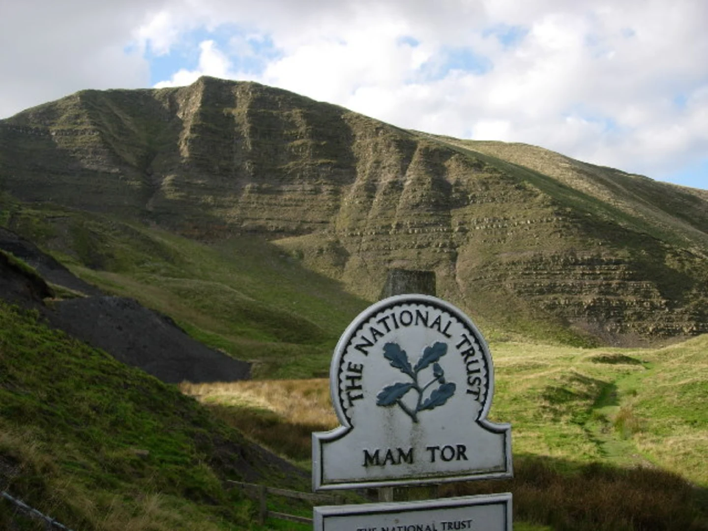
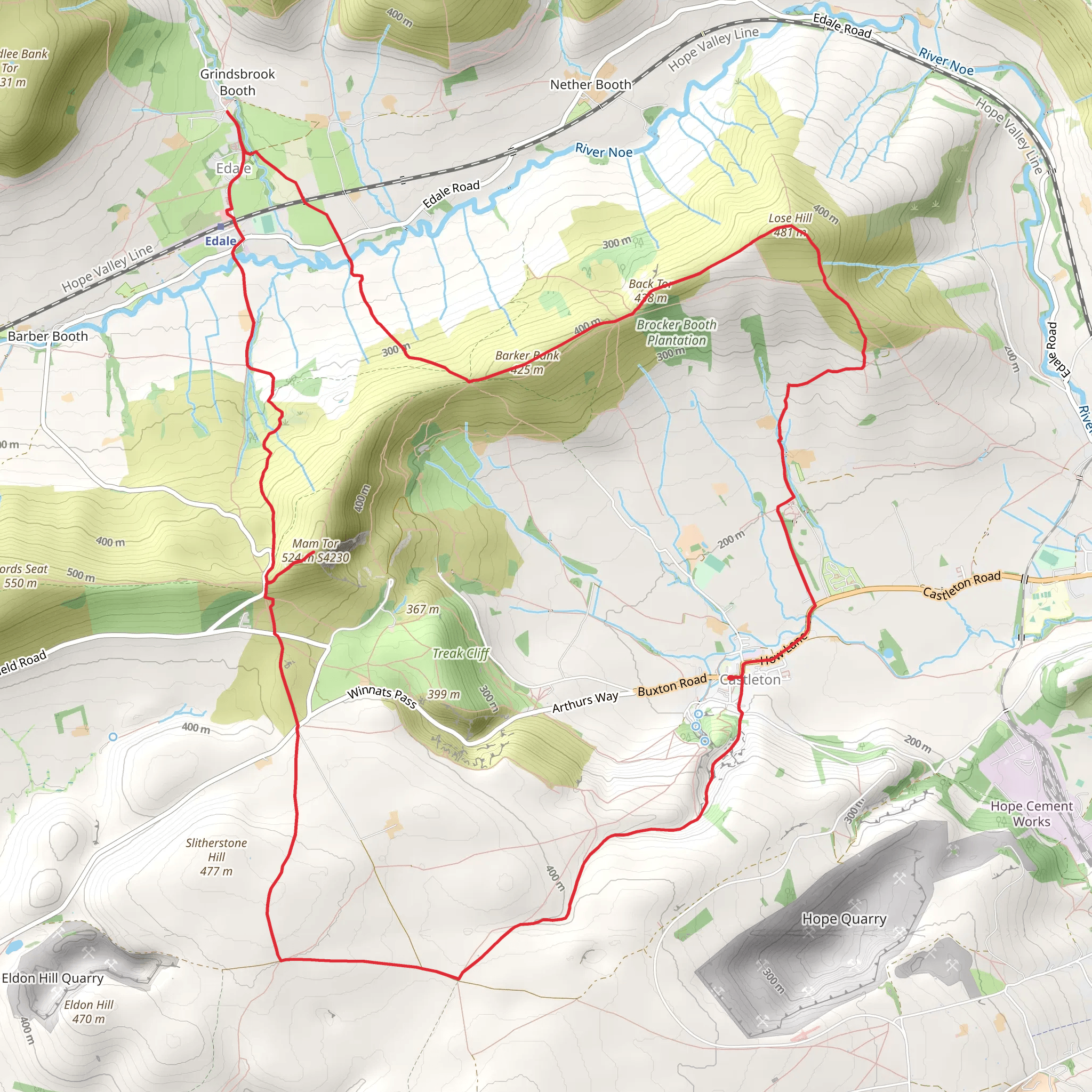
Starting your hike near the picturesque village of Castleton in Derbyshire, England, this 17 km (approximately 10.5 miles) loop trail offers a moderate challenge with an elevation gain of around 600 meters (about 1,970 feet). The trailhead is easily accessible by car, with parking available in Castleton. For those using public transport, Castleton is well-served by buses from nearby towns such as Sheffield and Hope, with the nearest train station located in Hope, just a short bus ride away.### Initial Ascent to Mam Tor The hike begins with a steady ascent towards Mam Tor, also known as the "Shivering Mountain." This part of the trail is well-marked and offers stunning views of the surrounding Peak District. As you climb, you'll gain approximately 300 meters (984 feet) in elevation over the first 3 km (1.86 miles). The summit of Mam Tor stands at 517 meters (1,696 feet) and provides panoramic views of the Hope Valley and Edale.### Ridge Walk to Back Tor From Mam Tor, the trail continues along a scenic ridge towards Back Tor. This section is relatively flat and stretches for about 4 km (2.5 miles), making it a pleasant walk with minimal elevation change. The ridge walk is particularly beautiful, offering expansive views and a chance to spot local wildlife such as red grouse and skylarks. Keep an eye out for the remnants of ancient hill forts, which add a touch of historical intrigue to your journey.### Climb to Lose Hill After Back Tor, the trail descends slightly before beginning the ascent to Lose Hill. This climb is more gradual, covering approximately 2 km (1.24 miles) with an elevation gain of around 150 meters (492 feet). Lose Hill, standing at 476 meters (1,562 feet), offers another excellent vantage point. On a clear day, you can see as far as Kinder Scout and the Great Ridge.### Descent Back to Castleton The final leg of the hike involves a descent back into Castleton. This section is about 8 km (5 miles) long and takes you through lush meadows and past ancient stone walls. The descent is gentle, allowing you to enjoy the natural beauty of the area without too much strain. Along the way, you'll pass by historical landmarks such as Peveril Castle, a Norman fortress dating back to the 11th century.### Navigation and Safety For navigation, it's highly recommended to use the HiiKER app, which provides detailed maps and real-time updates. The trail is generally well-marked, but having a reliable navigation tool can help you stay on track, especially in areas where the path may be less clear.### Flora and Fauna The trail is rich in biodiversity. In spring and summer, the meadows are awash with wildflowers like bluebells and buttercups. You might also encounter various bird species, including kestrels and buzzards, soaring above the ridges. The area is home to small mammals such as rabbits and hares, and if you're lucky, you might even spot a red deer.### Historical Significance The region is steeped in history, from the ancient hill forts on Mam Tor to the medieval Peveril Castle. Castleton itself is a charming village with a history dating back to the Domesday Book. The Blue John Cavern, located nearby, is famous for its unique Blue John stone and is worth a visit if you have time.This loop trail offers a perfect blend of natural beauty, historical landmarks, and moderate physical challenge, making it a rewarding experience for hikers of all levels.
What to expect?
Activity types
Comments and Reviews
User comments, reviews and discussions about the Mam Tor, Back Tor and Lose Hill Loop from Castleton, England.
4.33
average rating out of 5
6 rating(s)

