Download
Preview
Add to list
More
5.4 km
~1 hrs 30 min
254 m
Loop
“Embark on a scenic 5 km loop near Bamford, blending natural beauty, history, and moderate challenge.”
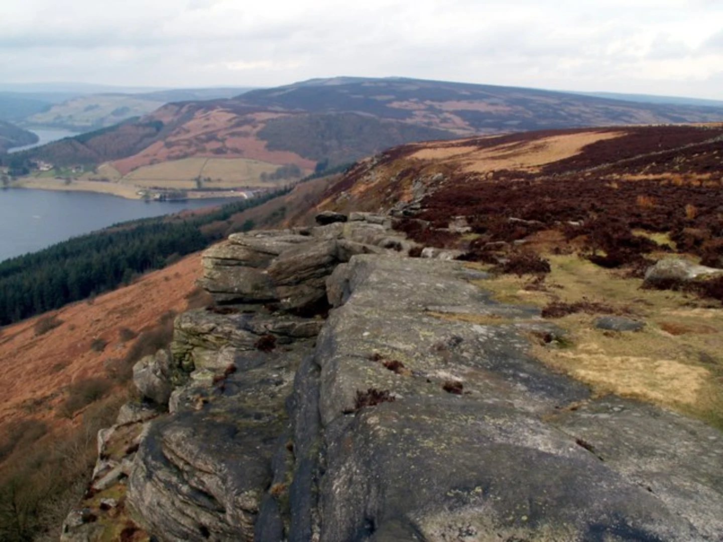
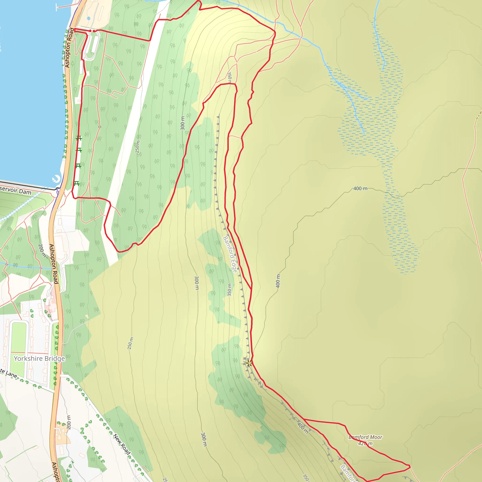
Starting near the picturesque village of Bamford in Derbyshire, England, this loop trail offers a delightful mix of natural beauty, historical significance, and moderate physical challenge. The trailhead is conveniently located near the Ladybower Reservoir, a well-known landmark that can be easily accessed by car or public transport. If you're driving, parking is available at the Heatherdene car park. For those using public transport, the nearest train station is Bamford, which is about a 20-minute walk from the trailhead.### Initial Ascent and Ladybower Dam The hike begins with a gentle ascent from the trailhead, leading you towards the iconic Ladybower Dam. This dam is part of the Ladybower Reservoir, which was constructed between 1935 and 1943. The reservoir is famous for its "plugholes," which are actually overflow outlets designed to manage water levels. As you walk along the dam, take a moment to appreciate the engineering marvel and the stunning views of the water.### Bamford Edge After crossing the dam, the trail starts to climb more steeply as you head towards Bamford Edge. This section involves an elevation gain of approximately 200 meters (656 feet), so be prepared for a bit of a workout. The path is well-marked but can be rocky in places, so sturdy footwear is recommended. As you ascend, you'll be rewarded with panoramic views of the Hope Valley and the surrounding Peak District. The gritstone escarpment of Bamford Edge offers numerous vantage points perfect for photography.### Great Tor Continuing along the ridge, you'll reach Great Tor, another prominent feature of the landscape. This area is less frequented than Bamford Edge, providing a more secluded experience. The views from Great Tor are equally impressive, offering a different perspective of the valley below. Keep an eye out for local wildlife, including peregrine falcons and red grouse, which are commonly seen in this area.### Descent and Return The descent from Great Tor is gradual, leading you back towards the Ladybower Reservoir. This part of the trail is less strenuous, allowing you to enjoy the surrounding woodland and the occasional glimpse of the reservoir through the trees. The loop eventually brings you back to the starting point near the dam.### Historical Significance The area around Ladybower Reservoir holds significant historical importance. During World War II, the reservoir was used by the RAF's 617 Squadron, known as the "Dambusters," for practice runs before their famous raid on the Ruhr dams in Germany. Plaques and information boards along the trail provide more details about this fascinating chapter in history.### Getting There To reach the trailhead, you can drive to the Heatherdene car park, which is well-signposted from the A57. If you're using public transport, take a train to Bamford Station and follow the signs to the Ladybower Reservoir. The walk from the station to the trailhead is straightforward and takes about 20 minutes.### Navigation For navigation, it's advisable to use the HiiKER app, which provides detailed maps and real-time updates to ensure you stay on track. The trail is well-marked, but having a reliable navigation tool can enhance your hiking experience.This 5 km (3.1 miles) loop trail with an elevation gain of around 200 meters (656 feet) offers a perfect blend of natural beauty, historical intrigue, and moderate physical challenge, making it a must-visit for hikers in the Peak District.
What to expect?
Activity types
Comments and Reviews
User comments, reviews and discussions about the Ladybower Dam, Bamford Edge and Great Tor, England.
4.67
average rating out of 5
3 rating(s)

