Download
Preview
Add to list
More
9.6 km
~2 hrs 37 min
429 m
Loop
“Embark on a challenging 10 km loop hike to Randygill Top, where steep climbs reward with panoramic Howgill Fells vistas.”
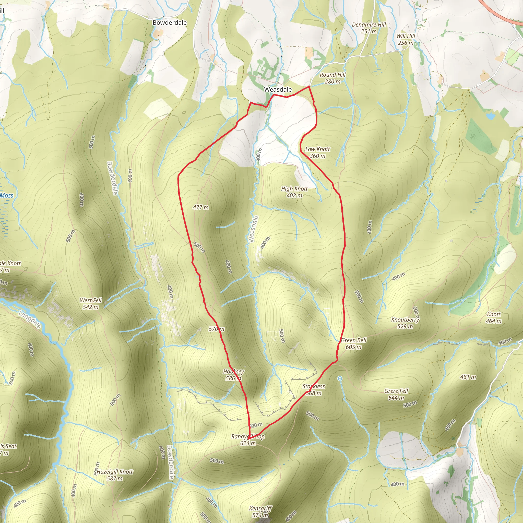
Embarking on the Randygill Top from Weasdale hike, you'll find yourself exploring the serene and rugged landscape of the Howgill Fells in Cumbria, England. This approximately 10 km (6.2 miles) loop trail, with an elevation gain of around 400 meters (1312 feet), is considered difficult due to its steep sections and the often unpredictable weather of the region.
Getting to the Trailhead
The trailhead is accessible by car, located near the small hamlet of Weasdale, which is a short drive from the town of Kirkby Stephen. For those relying on public transport, Kirkby Stephen can be reached by train or bus from larger cities such as Carlisle or Leeds. From Kirkby Stephen, a local taxi service can be used to reach the starting point of the hike.
The Ascent
The hike begins with a steady climb through the picturesque Weasdale valley. The path, while clearly defined, can be quite steep in places, so a good level of fitness is required. As you ascend, the views open up to reveal the distinctive rounded tops of the Howgill Fells, a stark contrast to the craggy peaks of the nearby Lake District.
Wildlife and Flora
The Howgills are home to a variety of wildlife, including roaming herds of fell ponies and the occasional red squirrel. Birdwatchers may spot buzzards and kestrels overhead. The area is also rich in plant life, with heather and bracken dominating the landscape, particularly in late summer when the heather blooms with a purple hue.
Historical Significance
The Howgill Fells have a rich history, with evidence of ancient settlements and Roman influence. The region was also a favorite of the famous fellwalker and author Alfred Wainwright, who described the Howgills as looking like a herd of sleeping elephants.
Reaching Randygill Top
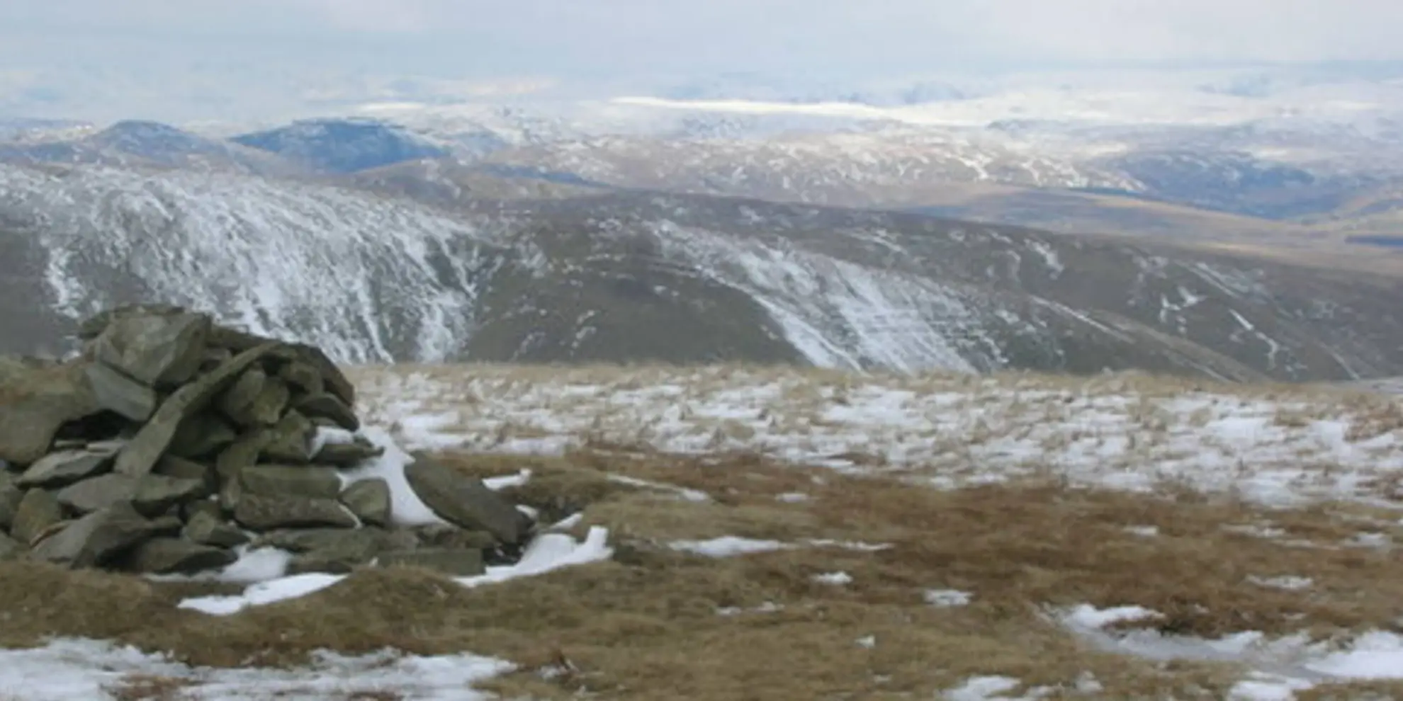
The final push to Randygill Top is the most challenging part of the hike, with a steep and rugged path leading to the summit. At 624 meters (2047 feet), Randygill Top is one of the highest points in the Howgills and offers panoramic views of the surrounding fells and valleys. On a clear day, you may even see as far as the Pennines to the east and the Lakeland peaks to the west.
Navigation
Navigating the trail can be tricky in poor visibility, so it's essential to have a reliable navigation tool. HiiKER is a useful app to have on your smartphone, providing detailed maps and GPS tracking to help you stay on the right path.
Descent and Loop Completion
After enjoying the vistas from Randygill Top, the descent follows a different route, looping back towards the valley. The path down can be steep and slippery, especially after rain, so care should be taken. The loop eventually returns you to the trailhead in Weasdale, where you can reflect on the accomplishment of conquering one of the Howgills' most rewarding summits.
What to expect?
Activity types
Comments and Reviews
User comments, reviews and discussions about the Randygill Top from Weasdale - Howgills, England.
4.0
average rating out of 5
1 rating(s)

