Download
Preview
Add to list
More
15.4 km
~3 hrs 31 min
266 m
Point-to-Point
“Embark on a 15 km journey from Walton to Greenhead, blending history, nature, and moderate hiking challenges.”
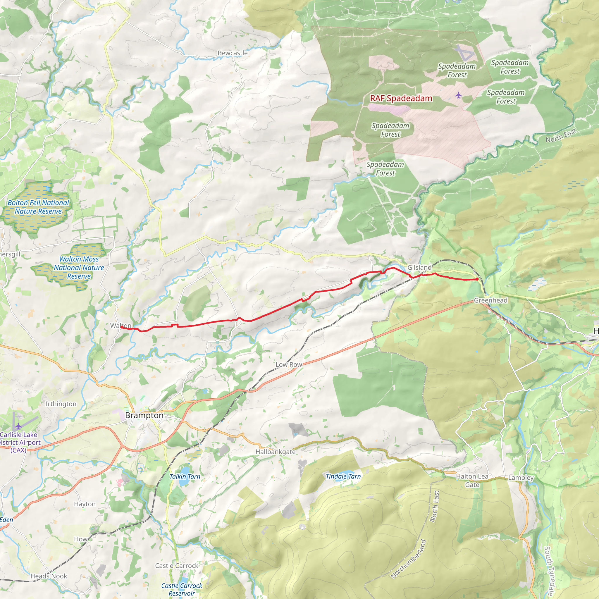
Starting near the charming village of Walton in Cumberland, England, the Walton to Greenhead Walk spans approximately 15 km (around 9.3 miles) with an elevation gain of about 200 meters (656 feet). This point-to-point trail is rated as medium difficulty, making it suitable for moderately experienced hikers.
Getting There To reach the trailhead in Walton, you can either drive or use public transport. If driving, Walton is accessible via the A6071 road. For those relying on public transport, the nearest major train station is in Carlisle, from where you can catch a local bus to Walton. The bus journey offers a scenic introduction to the region's rolling countryside.
Trail Overview The trail begins in Walton, a quaint village known for its picturesque landscapes and historical significance. As you set off, you'll traverse through a mix of open fields, woodlands, and small hamlets, providing a diverse hiking experience.
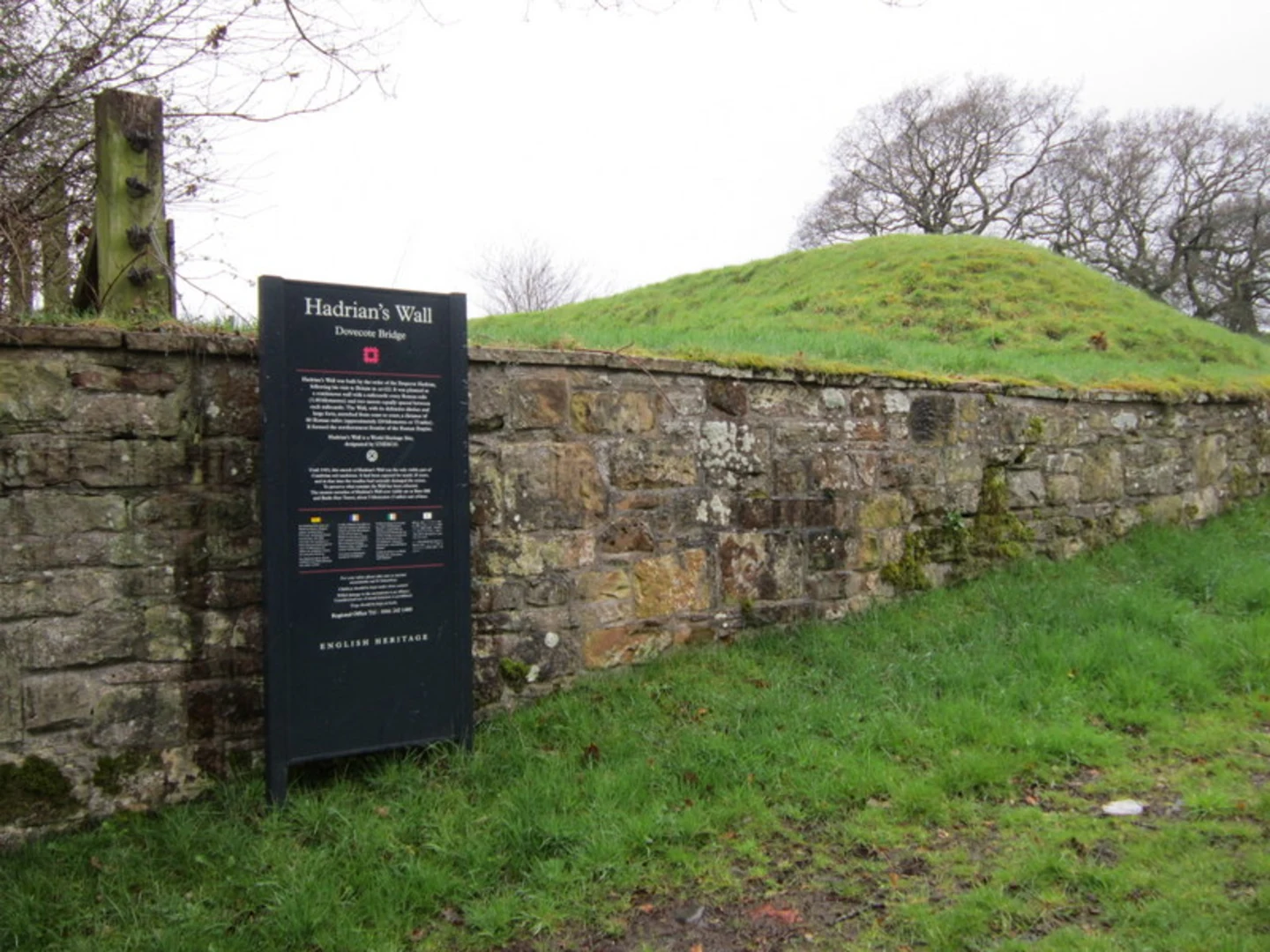
Historical Significance One of the most notable aspects of this trail is its proximity to Hadrian's Wall, a UNESCO World Heritage Site. Built by the Romans in AD 122, the wall was intended to keep out the Picts from Scotland. As you hike, you'll encounter several remnants of this ancient structure, offering a tangible connection to the region's rich history.
Key Landmarks and Points of Interest - **Walton Village**: Starting your journey here, take a moment to explore the village's historical buildings and local charm. - **Hadrian's Wall**: Approximately 5 km (3.1 miles) into the hike, you'll come across sections of Hadrian's Wall. This is a great spot to pause and reflect on the engineering marvels of ancient Rome. - **Birdoswald Roman Fort**: Located around 8 km (5 miles) from the start, this fort is one of the best-preserved along Hadrian's Wall. It offers a visitor center where you can learn more about the Roman occupation of Britain. - **Gilsland**: At roughly 10 km (6.2 miles), you'll pass through this small village, which is a good place to rest and perhaps grab a snack. The village is known for its scenic views and friendly locals. - **Thirlwall Castle**: Near the end of your hike, around 13 km (8 miles) in, you'll encounter the ruins of Thirlwall Castle. Built in the 12th century, the castle adds a medieval touch to your journey.
Nature and Wildlife The trail offers a variety of natural landscapes, from lush woodlands to open moorlands. Keep an eye out for local wildlife, including red squirrels, deer, and a variety of bird species. The diverse flora includes wildflowers in the spring and summer, adding bursts of color to your hike.
Navigation and Safety Given the historical and natural landmarks, it's essential to have a reliable navigation tool. HiiKER is highly recommended for this trail, providing detailed maps and real-time updates. The trail is well-marked, but having a digital guide can enhance your experience and ensure you stay on track.
Final Stretch to Greenhead As you approach Greenhead, the trail descends gently, offering panoramic views of the surrounding countryside. Greenhead itself is a small village with a rich history, making it a fitting end to your hike. Here, you can find amenities such as cafes and a visitor center, perfect for unwinding after your journey.
This trail offers a blend of historical intrigue, natural beauty, and moderate physical challenge, making it a rewarding experience for those looking to explore the heart of England's countryside.
What to expect?
Activity types
Comments and Reviews
User comments, reviews and discussions about the Walton to Greenhead Walk, England.
4.67
average rating out of 5
6 rating(s)

