Download
Preview
Add to list
More
9.9 km
~3 hrs 4 min
658 m
Out and Back
“Embark on a scenic 10 km trek to Skiddaw's summit, weaving through historic landscapes rich with wildlife and breathtaking views.”
The Skiddaw South Top and Skiddaw trail, spanning approximately 10 km (6.2 miles) with an elevation gain of around 600 meters (1968 feet), offers a rewarding trek through the Lake District National Park, starting near the historical town of Keswick in Cumberland, England. This out-and-back route is considered to have a medium difficulty rating, making it accessible to hikers with a reasonable level of fitness.
Getting to the Trailhead
To reach the trailhead, hikers can drive to a parking area near Keswick, which is well-signposted and offers a convenient starting point for the ascent. For those relying on public transport, buses frequently run from Keswick town center to the vicinity of the trailhead. Once at the starting point, hikers can follow the well-trodden path that leads towards Skiddaw.
The Ascent
The initial section of the trail is a steady climb, winding through lush woodland before breaking out onto the open fell. The path is well-maintained, but it can be rocky and uneven in places, so sturdy hiking boots are recommended. As you ascend, the views of the surrounding valleys and peaks begin to unfold, with the impressive sight of Derwentwater to the south.
Wildlife and Flora
The Lake District is known for its diverse wildlife and plant life. Keep an eye out for native birds such as the skylark and the peregrine falcon soaring above, while red squirrels and roe deer may be spotted in the woodland areas. The fells are also home to a variety of plant species, including the hardy heather that paints the landscape with hues of purple during late summer.
Historical Significance
Skiddaw itself is one of the oldest mountains in the Lake District, with geological formations dating back over 500 million years. The region has a rich history, with evidence of Neolithic settlements and later Roman occupation. The mountain has been a popular destination since the early days of tourism in the Lake District, with many Victorian visitors making the ascent.
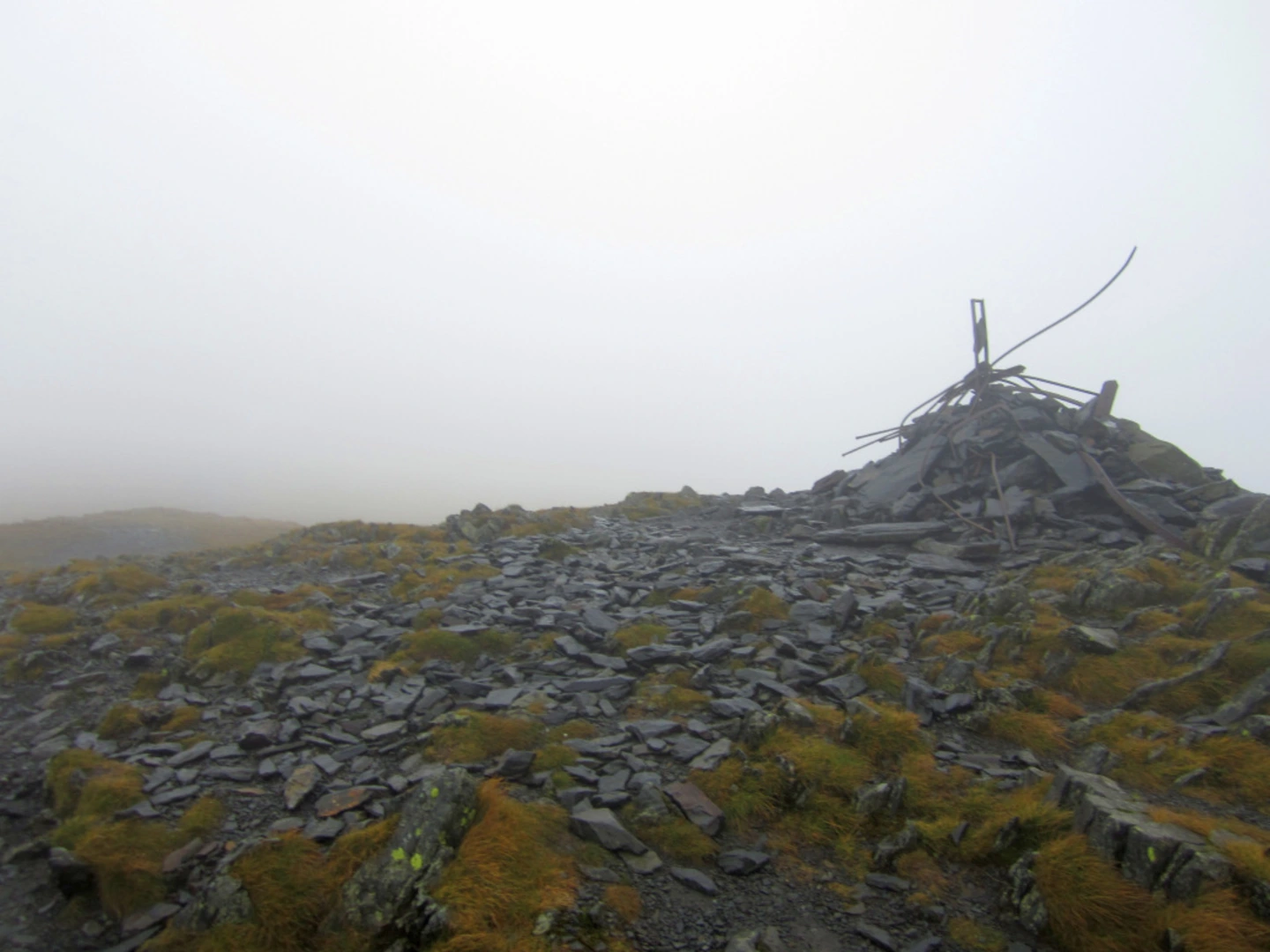
Reaching the South Top and Skiddaw Summit
After approximately 3 km (1.9 miles), hikers will reach the South Top, a subsidiary peak offering panoramic views of the northern Lake District. From here, the path continues northward, climbing steadily to the summit of Skiddaw, which stands at 931 meters (3054 feet). The summit area is broad and flat, providing a perfect spot to rest and enjoy the 360-degree vistas of the surrounding peaks and valleys.
Navigation
While the trail is well-marked, weather conditions in the Lake District can change rapidly, with fog and rain being common. It is advisable to carry a reliable navigation tool such as HiiKER to ensure you stay on the correct path and to monitor your progress.
Descent
The return journey follows the same path back down to the trailhead. The descent can be hard on the knees, so take care on the steeper sections and consider using trekking poles for additional support.
Preparation
Before setting out, hikers should check the weather forecast and dress appropriately, with layers to adjust to changing conditions. It's also important to carry sufficient water, snacks, and a basic first aid kit. Remember to leave no trace, taking all litter back with you to preserve the beauty of the Lake District for future visitors.

What to expect?
Activity types
Comments and Reviews
User comments, reviews and discussions about the Skiddaw South Top and Skiddaw, England.
4.33
average rating out of 5
6 rating(s)