Download
Preview
Add to list
More
12.3 km
~3 hrs 10 min
428 m
Loop
“Explore Cumberland's lush meadows, rugged terrains, and historical sites on this scenic 12 km loop trail.”
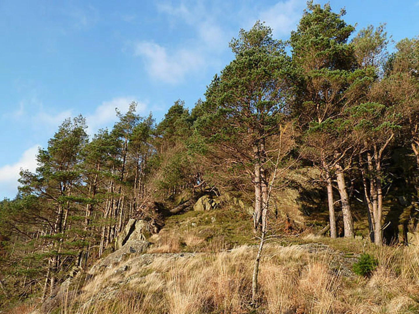
Starting near Cumberland, England, this 12 km (7.5 miles) loop trail offers a moderate challenge with an elevation gain of approximately 400 meters (1,312 feet). The trailhead is accessible by car, with parking available near the village of Threlkeld. For those using public transport, the nearest train station is Penrith, from which you can take a bus to Threlkeld.### Initial Ascent and Shundraw The trail begins with a gentle ascent through lush meadows and farmland, gradually leading you towards Shundraw. This initial section is relatively easy, allowing you to warm up before the more strenuous parts of the hike. Keep an eye out for local wildlife, including red squirrels and various bird species. The path is well-marked, but using HiiKER for navigation can ensure you stay on track.### Shoulthwaite Moss As you approach Shoulthwaite Moss, the terrain becomes more rugged. This area is a haven for birdwatchers, with species such as the peregrine falcon and the golden eagle often spotted. The moss itself is a fascinating wetland, rich in biodiversity. The trail here can be boggy, especially after rain, so waterproof boots are recommended. The elevation gain in this section is more noticeable, with a steady climb that offers panoramic views of the surrounding fells.### Rake How The trail then leads you to Rake How, a prominent rocky outcrop that provides a perfect spot for a rest and some photography. The views from here are spectacular, encompassing the rolling hills and distant lakes. This section of the trail is steep and rocky, requiring careful footing. The elevation gain here is around 150 meters (492 feet) over a short distance, making it the most challenging part of the hike.### Historical Significance The region around Cumberland is steeped in history. As you hike, you'll pass remnants of ancient settlements and stone walls that date back to the medieval period. The area was historically significant for its strategic location and fertile land, which supported early agricultural communities. The trail itself follows some of these ancient pathways, adding a layer of historical intrigue to your hike.### Descent and Return After Rake How, the trail begins its descent back towards Threlkeld. This section is less strenuous but requires attention due to loose rocks and uneven ground. The descent offers a different perspective of the landscape, with opportunities to spot deer and other wildlife. The final stretch takes you through serene woodlands and back to the starting point, completing the loop.### Practical Information Ensure you carry sufficient water and snacks, as there are no facilities along the trail. Weather in this region can be unpredictable, so pack layers and waterproof clothing. Mobile signal can be patchy, making a navigation tool like HiiKER invaluable for staying on course.

What to expect?
Activity types
Comments and Reviews
User comments, reviews and discussions about the Shundraw, Shoulthwaite Moss and Rake How Loop, England.
4.5
average rating out of 5
2 rating(s)