Download
Preview
Add to list
More
5.2 km
~1 hrs 24 min
216 m
Loop
“Experience Cumberland's natural beauty and history on the 5 km Mount Dent trail with stunning views.”
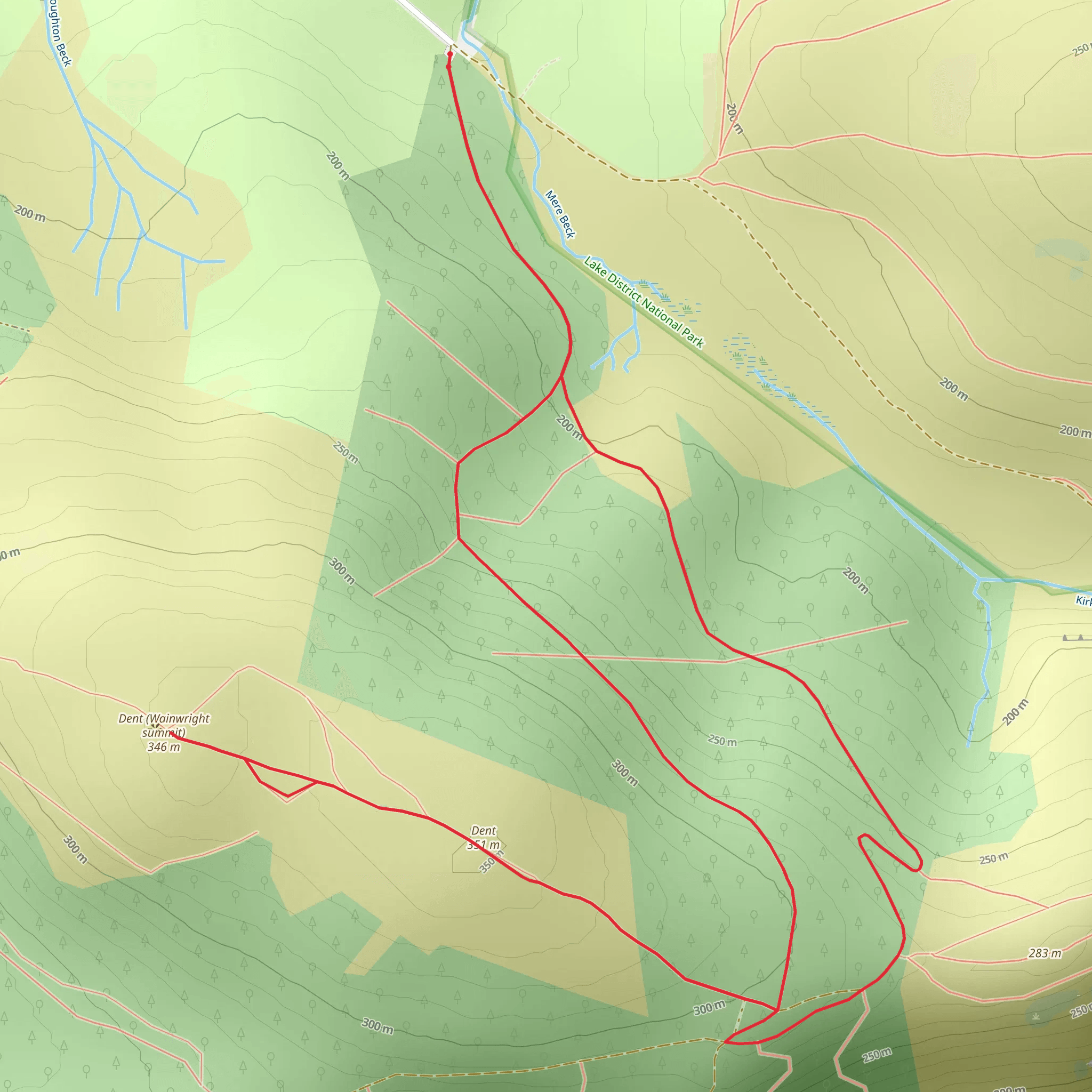
Starting your hike near the charming village of Cumberland, England, the Mount Dent trail offers a delightful 5 km (approximately 3.1 miles) loop with an elevation gain of around 200 meters (656 feet). This medium-difficulty trail is perfect for those looking to experience the natural beauty and historical richness of the region.
Getting There
To reach the trailhead, you can either drive or use public transport. If driving, head towards Cumberland and look for parking near the village center. For those using public transport, the nearest significant landmark is the Cumberland Train Station, which is well-connected to major cities. From the station, a short taxi ride or a local bus can take you to the trailhead.
Trail Overview
The trail begins near the village center, where you can find a small information board detailing the route. As you start your hike, you'll be greeted by a gentle ascent through lush woodlands. The initial 1 km (0.6 miles) is relatively easy, with a gradual incline that allows you to warm up and enjoy the serene surroundings.
Significant Landmarks and Nature
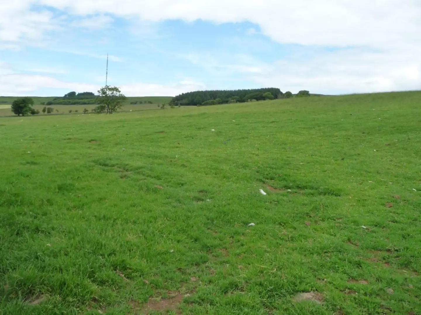
As you progress, the trail opens up to a more rugged terrain. Around the 2 km (1.2 miles) mark, you'll encounter a picturesque stream, perfect for a short break. This area is rich in flora and fauna, so keep an eye out for local wildlife such as red squirrels and various bird species.
Continuing your ascent, you'll reach the halfway point at approximately 2.5 km (1.55 miles). Here, the trail becomes steeper, gaining most of its elevation. The effort is well worth it, as you'll soon arrive at a stunning viewpoint offering panoramic views of the surrounding countryside. On clear days, you can see as far as the Lake District.
Historical Significance
Mount Dent is not just a natural wonder; it also holds historical significance. The area was once a strategic lookout point during medieval times. Remnants of old fortifications can still be seen near the summit, adding a layer of historical intrigue to your hike. Take a moment to imagine the past and the people who once stood guard over these lands.
Navigation and Safety
For navigation, it's highly recommended to use HiiKER, which provides detailed maps and real-time updates. The trail is well-marked, but having a reliable navigation tool ensures you stay on track. The descent begins after the viewpoint, looping back towards the village. This section is less steep but can be slippery after rain, so watch your footing.
Final Stretch
The last 1 km (0.6 miles) of the trail takes you through open meadows, offering a different but equally beautiful landscape. As you near the end of the loop, you'll pass by a small, historic chapel that dates back to the 12th century. It's a peaceful spot to reflect on your hike before returning to the village.
Wildlife and Flora
Throughout the hike, you'll encounter a variety of plant species, including ancient oak trees and vibrant wildflowers. The diverse ecosystem supports a range of wildlife, making it a rewarding experience for nature enthusiasts.
By the time you complete the loop, you'll have experienced a rich tapestry of natural beauty, historical landmarks, and diverse wildlife, all within a manageable 5 km (3.1 miles) hike.
What to expect?
Activity types
Comments and Reviews
User comments, reviews and discussions about the Mount Dent, England.
4.5
average rating out of 5
2 rating(s)

