Barrow, Stile End, Outerside, Scar Crags, Causey Pike and Rowling End Loop
Download
Preview
Add to list
More
9.7 km
~3 hrs 17 min
811 m
Loop
“Experience breathtaking views and historical intrigue on this 10 km moderate-to-challenging loop trail near Braithwaite.”
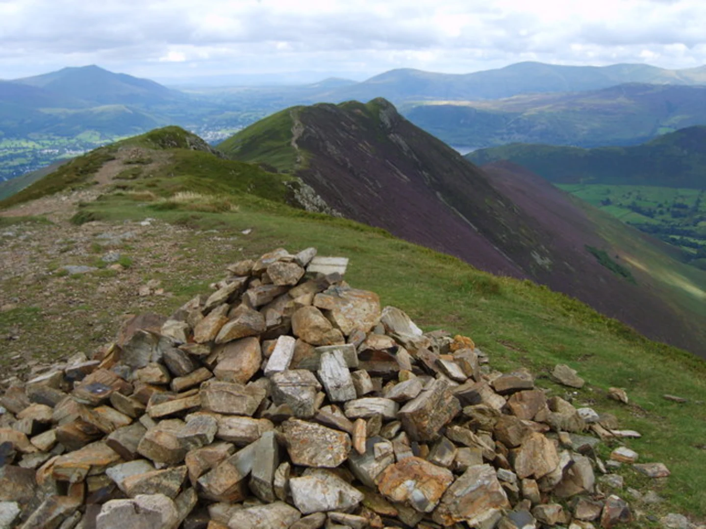
Starting near the picturesque town of Braithwaite in Cumberland, England, this loop trail spans approximately 10 km (6.2 miles) with an elevation gain of around 800 meters (2,625 feet). The trailhead is conveniently accessible by car, with parking available in Braithwaite. For those using public transport, the nearest significant landmark is the Keswick Bus Station, from where you can take a local bus or taxi to Braithwaite.Barrow and Stile EndThe hike begins with a steady ascent up Barrow, offering panoramic views of the surrounding fells and valleys. The climb is moderate, gaining about 200 meters (656 feet) over the first 1.5 km (0.9 miles). As you reach the summit of Barrow, take a moment to enjoy the sweeping vistas of Derwentwater and the Newlands Valley. Continuing on, the trail descends slightly before ascending again towards Stile End. This section is less steep but can be rocky, so sturdy footwear is recommended.Outerside and Scar CragsFrom Stile End, the path leads you to Outerside, another moderate climb that rewards you with stunning views of the Coledale Valley. The trail here is well-marked but can be narrow in places. After Outerside, the route takes you towards Scar Crags. This part of the trail is more challenging, with a steeper ascent and rocky terrain. The elevation gain from Outerside to Scar Crags is approximately 150 meters (492 feet) over 2 km (1.2 miles). Scar Crags offers some of the most dramatic scenery on the hike, with rugged landscapes and expansive views.Causey Pike and Rowling EndThe trail then leads to Causey Pike, one of the most iconic peaks in the area, recognizable by its distinctive 'knuckle' ridge. The climb to Causey Pike is steep and requires careful footing, especially in wet conditions. The elevation gain here is about 100 meters (328 feet) over a short distance of 0.5 km (0.3 miles). Once at the summit, you'll be treated to breathtaking views of the surrounding fells and valleys. The descent from Causey Pike to Rowling End is gradual but can be slippery, so take your time. Rowling End offers a more gentle terrain, making for a pleasant end to the hike.Flora, Fauna, and Historical SignificanceThroughout the hike, you'll encounter a variety of flora and fauna. Keep an eye out for red squirrels, a species native to the area, and various bird species such as peregrine falcons and buzzards. The trail also passes through areas rich in heather and bilberry, especially vibrant in late summer.Historically, this region has been significant for its mining activities, particularly for lead and zinc. The remnants of old mine workings can still be seen in the Coledale Valley, adding an element of historical intrigue to your hike.Navigation and SafetyGiven the varied terrain and potential for rapidly changing weather conditions, it's advisable to use a reliable navigation tool like HiiKER to stay on track. Ensure you have appropriate clothing, plenty of water, and some snacks to keep your energy levels up. The trail is generally well-marked, but fog and mist can obscure paths, making navigation tools essential.This loop offers a blend of moderate to challenging sections, stunning landscapes, and a touch of historical significance, making it a rewarding experience for hikers of all levels.

What to expect?
Activity types
Comments and Reviews
User comments, reviews and discussions about the Barrow, Stile End, Outerside, Scar Crags, Causey Pike and Rowling End Loop, England.
4.75
average rating out of 5
4 rating(s)