Download
Preview
Add to list
More
8.6 km
~1 hrs 53 min
104 m
Loop
“Explore County Durham's scenic 9 km loop, blending nature, history, and moderate hiking challenges.”
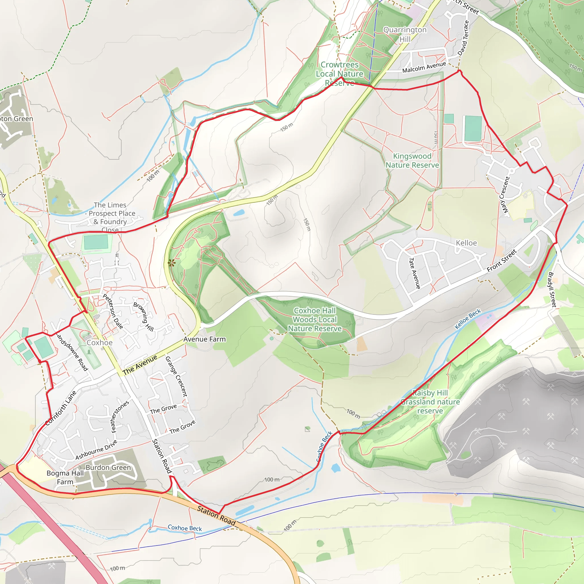
Starting near County Durham, England, this 9 km (approximately 5.6 miles) loop trail offers a delightful mix of natural beauty and historical intrigue. With an elevation gain of around 100 meters (328 feet), the trail is rated as medium difficulty, making it accessible for most hikers with a moderate level of fitness.
Getting There To reach the trailhead, you can drive or use public transport. If driving, set your GPS to the nearest known address: Kelloe, County Durham, DH6 4PT. For those using public transport, the nearest major bus stop is in Kelloe village, serviced by local buses from Durham city center. From the bus stop, it's a short walk to the trailhead.
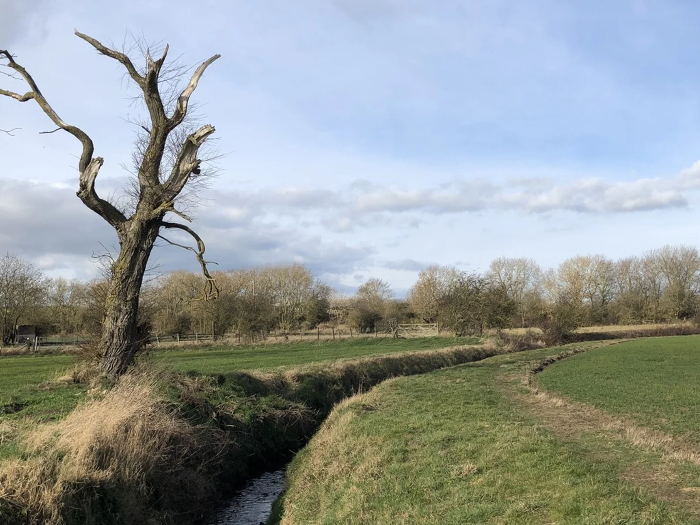
Trail Overview The trail begins near the village of Kelloe and quickly immerses you in the serene landscapes of the Crowtrees Local Nature Reserve. The first section of the trail is relatively flat, making it a good warm-up as you traverse through open fields and meadows. Keep an eye out for local wildlife, including various bird species and small mammals that inhabit the area.
Historical Significance As you progress, you'll encounter remnants of the region's rich history. The area around Kelloe has been inhabited since ancient times, and you may come across old stone walls and ruins that date back to medieval periods. One notable landmark is the old Kelloe Church, which has stood for centuries and offers a glimpse into the architectural styles of the past.
Nature and Wildlife Entering the Crowtrees Local Nature Reserve, the trail becomes more wooded and the elevation starts to increase slightly. This section is particularly beautiful in the spring and autumn when the foliage is at its most vibrant. The reserve is home to a variety of flora and fauna, including wildflowers, butterflies, and occasionally deer. The trail here is well-marked, but it's always a good idea to have a reliable navigation tool like HiiKER to ensure you stay on track.
Midpoint and Elevation Gain Around the 4.5 km (2.8 miles) mark, you'll reach the highest point of the trail, offering panoramic views of the surrounding countryside. The elevation gain here is about 50 meters (164 feet) from the start, providing a moderate challenge without being overly strenuous. This is a great spot to take a break, enjoy a snack, and soak in the scenery.
Return Loop The descent begins gradually as you loop back towards Kelloe. This section of the trail takes you through a mix of open fields and wooded areas, offering a different perspective of the landscape you traversed earlier. The path is well-maintained, but can be muddy after rain, so appropriate footwear is recommended.
Final Stretch As you near the end of the loop, you'll pass through more agricultural land, where you might see local farmers at work. The trail eventually brings you back to the starting point near Kelloe village, completing the 9 km journey.
This trail offers a balanced mix of natural beauty, historical landmarks, and moderate physical challenge, making it a rewarding experience for hikers of all levels.
What to expect?
Activity types
Comments and Reviews
User comments, reviews and discussions about the Kelloe Way and Crowtrees Local Nature Reserve, England.
4.75
average rating out of 5
4 rating(s)

