Download
Preview
Add to list
More
15.4 km
~3 hrs 29 min
244 m
Loop
“Explore diverse landscapes and historic sites on the scenic, moderately challenging 15 km Eggleston and River Tees trail.”
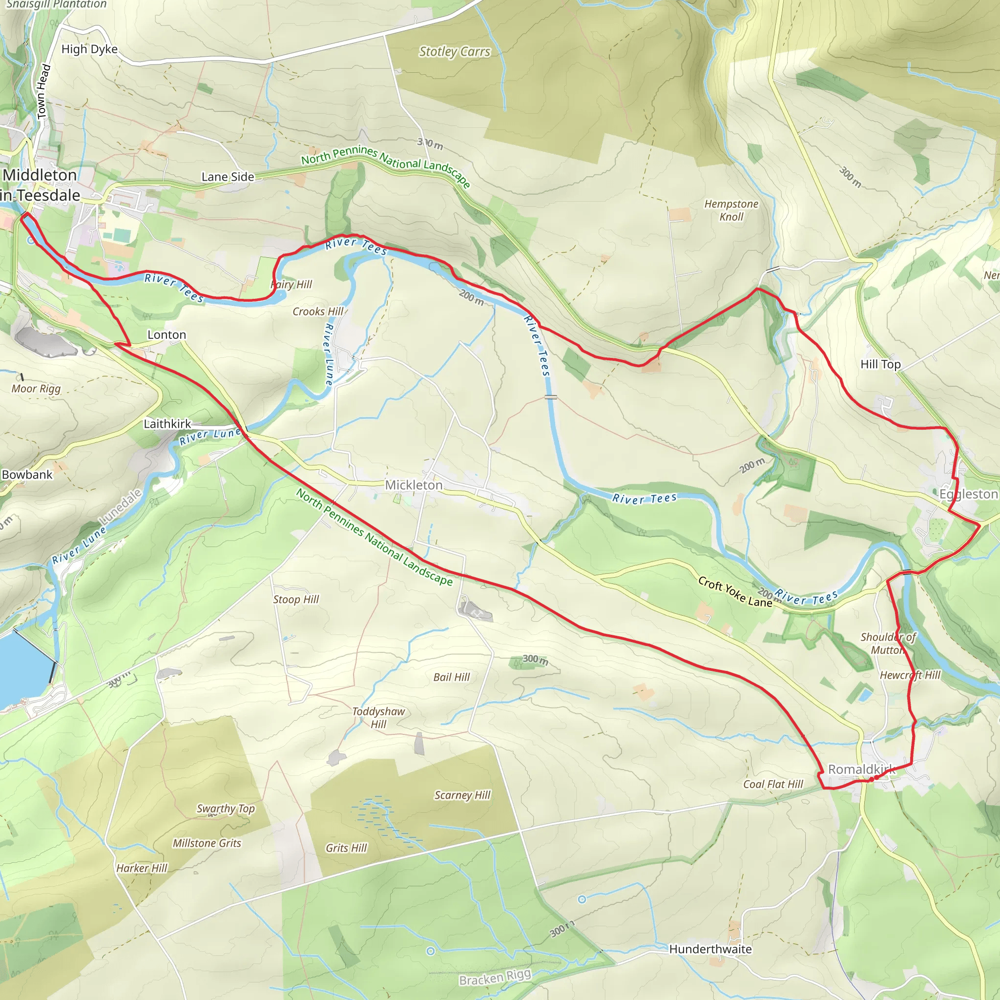
Starting near County Durham, England, this 15 km (approximately 9.3 miles) loop trail offers a moderate challenge with an elevation gain of around 200 meters (656 feet). The trailhead is conveniently accessible by both car and public transport. If you're driving, you can park near the village of Eggleston. For those using public transport, the nearest significant landmark is Barnard Castle, which is well-connected by bus services from larger cities like Durham and Newcastle.
Trail Overview
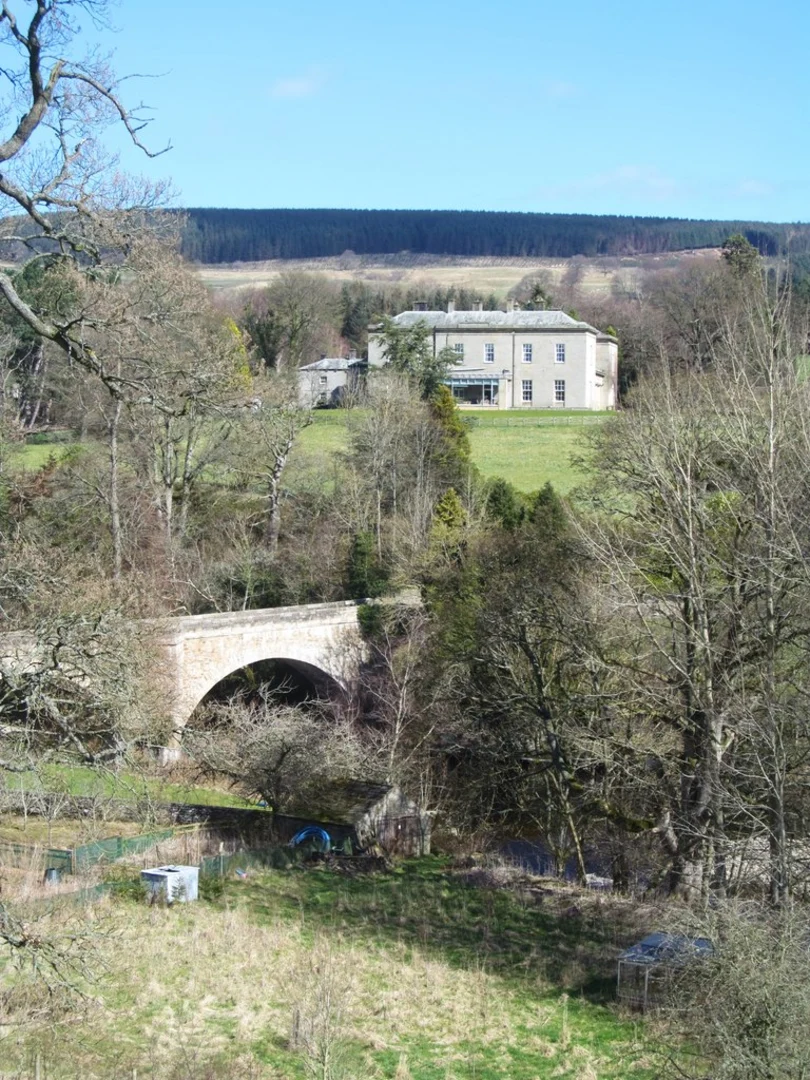
The Eggleston and River Tees trail takes you through a variety of landscapes, including lush woodlands, open fields, and riverside paths. The trail is well-marked, but it's always a good idea to have a reliable navigation tool like HiiKER to ensure you stay on track.
Key Landmarks and Sections
#### Eggleston Village
Starting from Eggleston, you'll immediately notice the quaint charm of this small village. The village itself has historical significance, with buildings dating back to the 18th century. As you leave the village, you'll begin a gentle ascent through open fields, offering panoramic views of the surrounding countryside.
#### River Tees
Around the 5 km (3.1 miles) mark, you'll reach the River Tees. This section of the trail is particularly scenic, with the river meandering through a picturesque valley. Keep an eye out for local wildlife, including kingfishers and otters, which are often spotted along this stretch. The riverside path is relatively flat, making it a pleasant and relaxing part of the hike.
#### Teesdale Way
At approximately 8 km (5 miles), you'll join a section of the Teesdale Way, a long-distance footpath that follows the River Tees. This part of the trail is more wooded, providing ample shade and a different type of natural beauty. The path here can be narrow and uneven, so watch your footing.
#### Historical Sites
As you continue, you'll come across several historical landmarks. One notable site is the ruins of Egglestone Abbey, located around 10 km (6.2 miles) into the hike. This 12th-century monastery offers a glimpse into the region's medieval past and is a great spot for a rest and some photos.
Flora and Fauna
The trail is rich in biodiversity. In the woodlands, you'll find a variety of tree species, including oak, ash, and beech. The open fields are often dotted with wildflowers, especially in the spring and summer months. Birdwatchers will be delighted by the variety of species, from common songbirds to birds of prey like kestrels and buzzards.
Final Stretch
The last 5 km (3.1 miles) of the trail take you back towards Eggleston. This section involves a gentle climb, offering more stunning views of the Tees Valley. As you approach the village, you'll pass through more farmland, where you might encounter grazing sheep and cattle.
Preparation Tips
Given the moderate difficulty of the trail, it's advisable to wear sturdy hiking boots and bring plenty of water. The weather in this region can be unpredictable, so pack a waterproof jacket and check the forecast before you set out. While the trail is well-marked, having HiiKER on hand will provide extra peace of mind.
This trail offers a perfect blend of natural beauty, historical landmarks, and moderate physical challenge, making it a rewarding experience for hikers of all levels.
What to expect?
Activity types
Comments and Reviews
User comments, reviews and discussions about the Eggleston and River Tees, England.
4.6
average rating out of 5
5 rating(s)

