Download
Preview
Add to list
More
15.9 km
~3 hrs 49 min
383 m
Loop
“Trek the Crossthwaite Common loop for historic and scenic splendor amid Teesdale's rolling hills.”
Embarking on the Crossthwaite Common loop from Middleton-in-Teesdale, hikers will traverse approximately 16 kilometers (about 10 miles) with an elevation gain of around 300 meters (roughly 984 feet). This medium-difficulty trail offers a blend of pastoral landscapes, river views, and a touch of history, making it a rewarding experience for those who tread its path.
Getting to the Trailhead
The trailhead is conveniently located near the quaint village of Middleton-in-Teesdale in County Durham, England. For those arriving by car, parking is available in the village, which serves as a good starting point for the hike. Public transport users can catch a bus to Middleton-in-Teesdale from surrounding towns and cities, with the bus stop serving as a de facto trailhead.
The Journey Begins
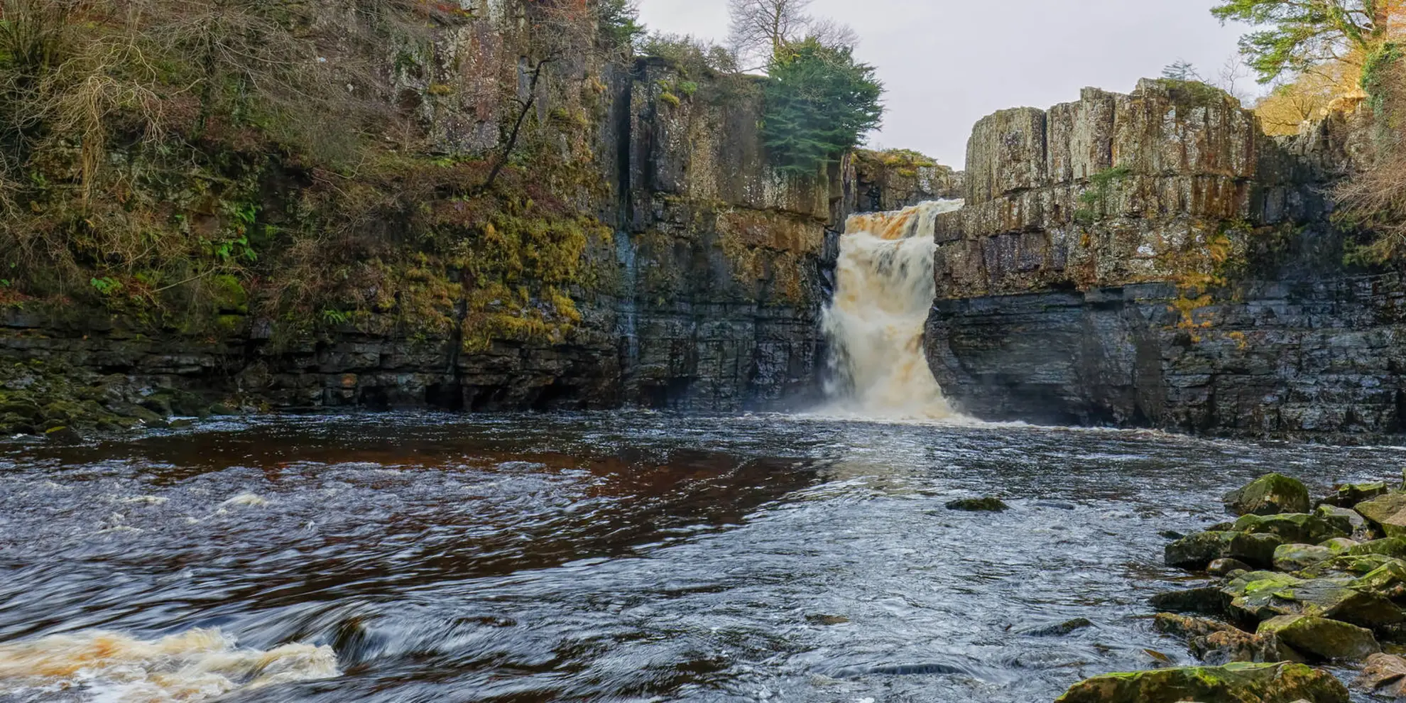
Setting out from the village, the trail meanders alongside the River Tees, offering serene views of the water and the surrounding countryside. The initial stretch is relatively flat, allowing hikers to warm up before the ascent begins. As you progress, the path gradually ascends Crossthwaite Common, revealing expansive views of the Teesdale landscape.
Historical Significance and Natural Beauty
As you hike, you'll be walking through an area steeped in history. Teesdale was a hub of activity during the lead mining boom in the 18th and 19th centuries, and remnants of this industrial past can be seen scattered across the landscape. Keep an eye out for old mine shafts and the ruins of miners' cottages, which serve as a poignant reminder of the region's heritage.
The area is also known for its rich biodiversity. The trail crosses through habitats that are home to a variety of wildlife, including rare birds such as the black grouse and the curlew. The flora is equally impressive, with wildflowers and native grasses adorning the trailside, particularly in the spring and summer months.
Navigating the Trail
For navigation, HiiKER is an excellent tool to ensure you stay on the right path. The app provides detailed maps and trail information that can be invaluable, especially at trail intersections or during the open moorland sections where the path may be less defined.
Ascent and Descent
The most challenging part of the hike is the ascent onto the common, where the elevation gain is most pronounced. However, the climb is gradual and should be manageable for those with a moderate level of fitness. Once at the top, the trail flattens out, allowing for a leisurely walk across the high ground before descending back towards the village.
Return to Middleton-in-Teesdale
The final leg of the loop leads back to Middleton-in-Teesdale, where hikers can enjoy well-deserved refreshments at one of the local pubs or cafes. The descent is gentle, following country lanes and footpaths that offer glimpses of traditional stone walls and rolling fields, characteristic of the English countryside.
Preparation and Safety
Before setting out, ensure you have appropriate footwear and clothing for the variable English weather. It's also wise to carry water, snacks, and a map, even with digital navigation tools like HiiKER at your disposal. Always let someone know your hiking plans and expected return time for safety.
With its combination of natural beauty, historical intrigue, and a well-balanced mix of terrain, the Crossthwaite Common loop from Middleton-in-Teesdale is a delightful trail that captures the essence of the English countryside.
What to expect?
Activity types
Comments and Reviews
User comments, reviews and discussions about the Crossthwaite Common from Middleton-in-Teesdale, England.
4.0
average rating out of 5
1 rating(s)

