Download
Preview
Add to list
More
3.6 km
~51 min
81 m
Loop
“Discover the serene beauty and rich history of Cong Burn Woods on this accessible 4 km woodland loop.”
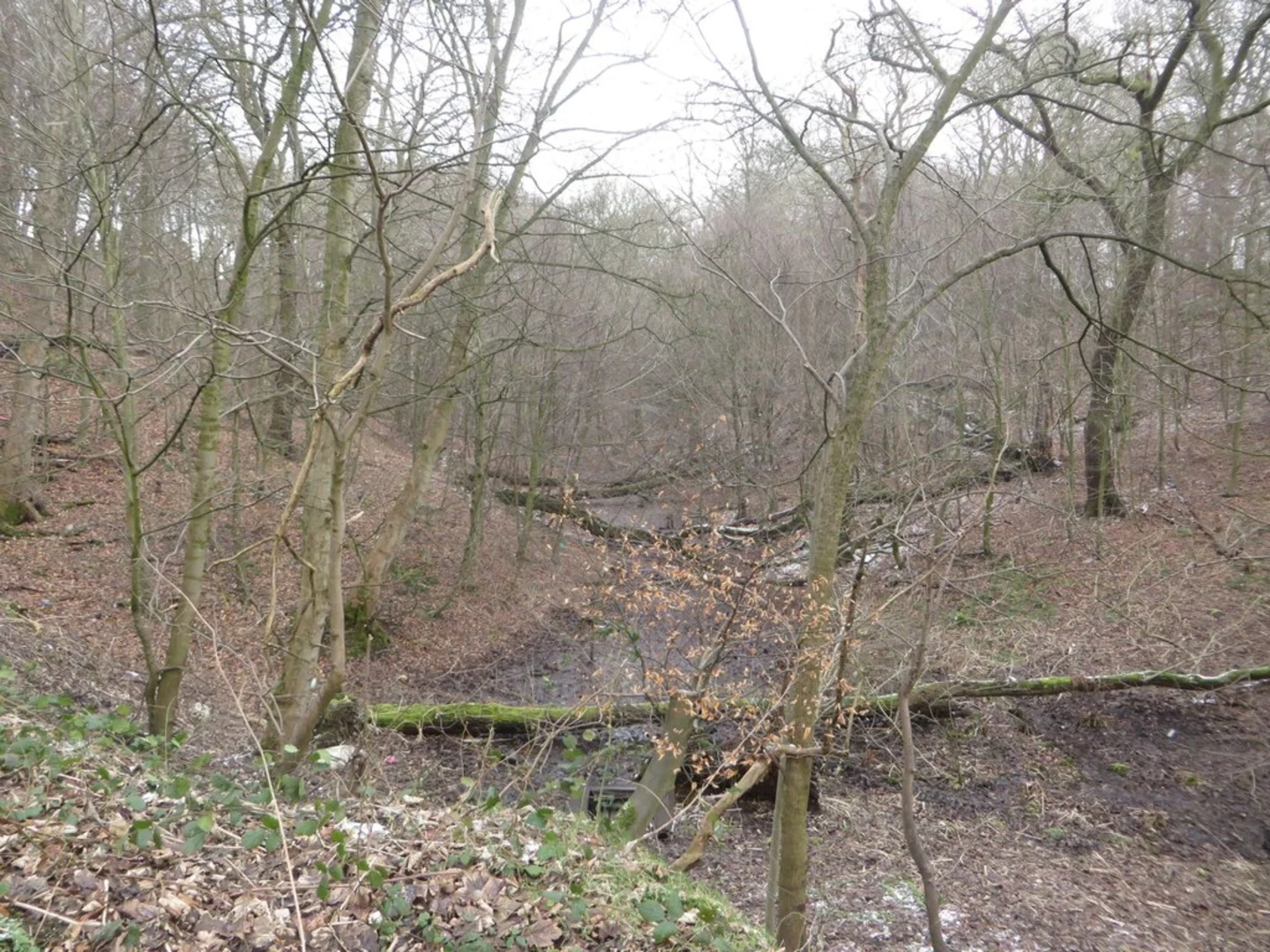
Starting near County Durham, England, the Cong Burn Woods Nature Reserve Loop is a delightful 4 km (approximately 2.5 miles) trail with no significant elevation gain, making it accessible for a wide range of hikers. The trailhead is conveniently located near the village of Chester-le-Street, which is easily accessible by both public transport and car. If you're driving, you can park at the Cong Burn Wood car park, situated near the Chester-le-Street Cricket Club.### Getting There For those using public transport, Chester-le-Street railway station is the nearest major stop, with regular services from Newcastle and Durham. From the station, it's a short walk or a quick taxi ride to the trailhead. Alternatively, local bus services also connect Chester-le-Street with surrounding areas, and the nearest bus stop is just a few minutes' walk from the trailhead.### Trail Overview The Cong Burn Woods Nature Reserve Loop is a medium-difficulty trail that offers a serene woodland experience. The path is well-marked and maintained, making navigation straightforward. However, it's always a good idea to have a reliable navigation tool like HiiKER to ensure you stay on track.### Flora and Fauna As you embark on the loop, you'll be greeted by a lush canopy of mixed deciduous trees, including oak, ash, and beech. The undergrowth is rich with ferns, wildflowers, and various fungi, especially vibrant in the spring and autumn months. Birdwatchers will be delighted by the presence of species such as woodpeckers, nuthatches, and various warblers. Keep an eye out for small mammals like squirrels and the occasional deer.### Significant Landmarks About 1 km (0.6 miles) into the hike, you'll come across the remains of an old mill, a testament to the area's historical significance in the local industry. The mill, now overgrown with ivy and moss, offers a picturesque spot for a brief rest and some photography.### Historical Significance The Cong Burn Woods area has a rich history dating back to medieval times. The woods were once part of a larger forest that provided timber and game for local communities. The old mill you encounter along the trail was operational during the 18th and 19th centuries, playing a crucial role in the local economy.### Trail Highlights At approximately the halfway point, you'll reach a charming wooden footbridge that crosses the Cong Burn stream. This is an ideal spot to pause and enjoy the soothing sounds of flowing water. The trail then loops back, offering more scenic woodland views and the opportunity to spot additional wildlife.### Practical Tips Given the trail's medium difficulty rating, it's advisable to wear sturdy hiking boots, especially after rain when the path can become muddy. Bring along some water and snacks, as there are no facilities along the route. The trail is dog-friendly, so feel free to bring your furry friends, but remember to keep them on a leash to protect the local wildlife.### Navigation and Safety While the trail is well-marked, using HiiKER can provide additional peace of mind, ensuring you stay on the correct path and can easily find your way back to the trailhead. Always check the weather forecast before setting out and dress appropriately for the conditions.This loop trail offers a perfect blend of natural beauty, historical intrigue, and a moderate challenge, making it a rewarding outing for both novice and experienced hikers.
What to expect?
Activity types
Comments and Reviews
User comments, reviews and discussions about the Cong Burn Woods Nature Reserve Loop, England.
5.0
average rating out of 5
2 rating(s)

