Download
Preview
Add to list
More
11.8 km
~2 hrs 47 min
256 m
Point-to-Point
“Embark on a scenic 12 km hike from Polzeath to Brea Hill, rich in history and coastal views.”
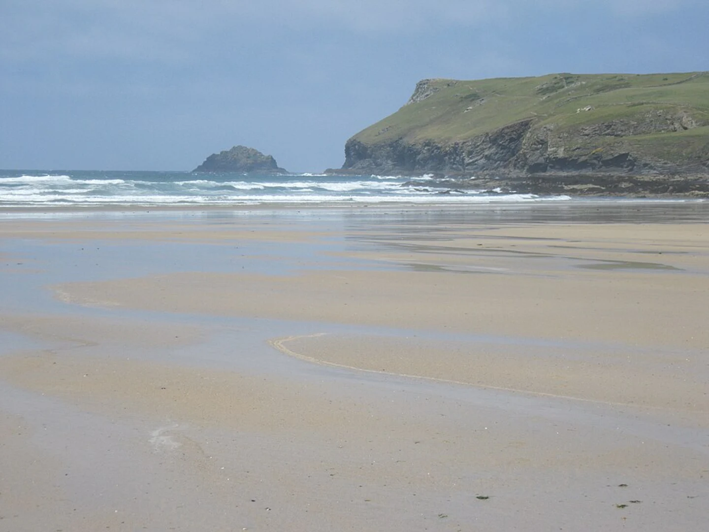
Starting near the picturesque village of Polzeath in Cornwall, England, the Pentire Point and Brea Hill trail offers a delightful 12 km (7.5 miles) journey with an elevation gain of around 200 meters (656 feet). This point-to-point trail is rated as medium difficulty, making it suitable for moderately experienced hikers.### Getting There To reach the trailhead, you can drive to Polzeath, where parking is available near the beach. If you prefer public transport, buses run regularly from Wadebridge and other nearby towns to Polzeath. The nearest significant landmark to the trailhead is Polzeath Beach, a popular spot for surfers and beachgoers.### Trail Overview The trail begins with a gentle ascent from Polzeath Beach, leading you towards Pentire Point. As you hike, you'll be treated to stunning coastal views of the Atlantic Ocean. The first 3 km (1.9 miles) of the trail are relatively easy, with a gradual elevation gain of about 50 meters (164 feet).### Pentire Point At approximately 3 km (1.9 miles) into the hike, you'll reach Pentire Point. This headland offers panoramic views of the coastline, including the rugged cliffs and the vast expanse of the ocean. It's a perfect spot for a short break and some photography. Keep an eye out for seabirds such as gannets and fulmars, which are commonly seen in this area.### The Rumps Continuing along the trail, you'll come across The Rumps, a twin-headland promontory with significant historical importance. This area was once the site of an Iron Age hill fort, and you can still see the remnants of ancient earthworks. The Rumps is located about 5 km (3.1 miles) from the start, with an additional elevation gain of 50 meters (164 feet).### Lundy Bay As you proceed, the trail descends towards Lundy Bay, a secluded cove known for its natural beauty and diverse marine life. This section of the trail is around 7 km (4.3 miles) from the start, and the descent is relatively steep, so take care. The bay is an excellent spot for a picnic and some exploration of the rock pools.### Brea Hill The final stretch of the trail takes you towards Brea Hill, a prominent hill offering sweeping views of the Camel Estuary and the surrounding countryside. The ascent to Brea Hill is the most challenging part of the hike, with an elevation gain of about 100 meters (328 feet) over a distance of 2 km (1.2 miles). Once at the top, you'll be rewarded with breathtaking vistas that make the effort worthwhile.### Wildlife and Flora Throughout the hike, you'll encounter a variety of flora and fauna. The coastal path is lined with wildflowers such as thrift and sea campion, especially vibrant in the spring and summer months. You may also spot grey seals basking on the rocks below and, if you're lucky, dolphins playing in the waves.### Navigation For navigation, it's highly recommended to use the HiiKER app, which provides detailed maps and real-time updates to ensure you stay on the right path. The trail is well-marked, but having a reliable navigation tool can enhance your hiking experience.### Historical Significance The region around Pentire Point and Brea Hill is steeped in history. The Iron Age hill fort at The Rumps is a testament to the area's ancient past, while the coastal path itself has been used for centuries by fishermen and traders. The landscape has inspired numerous artists and writers, adding a cultural layer to your hiking adventure.This trail offers a perfect blend of natural beauty, historical intrigue, and moderate physical challenge, making it a must-visit for any hiking enthusiast exploring Cornwall.

Comments and Reviews
User comments, reviews and discussions about the Pentire Point and Brea Hill, England.
4.0
average rating out of 5
2 rating(s)