Download
Preview
Add to list
More
6.1 km
~1 hrs 18 min
54 m
Loop
“A serene, historical 6 km trail perfect for birdwatching and leisurely hikes near Cheshire East.”
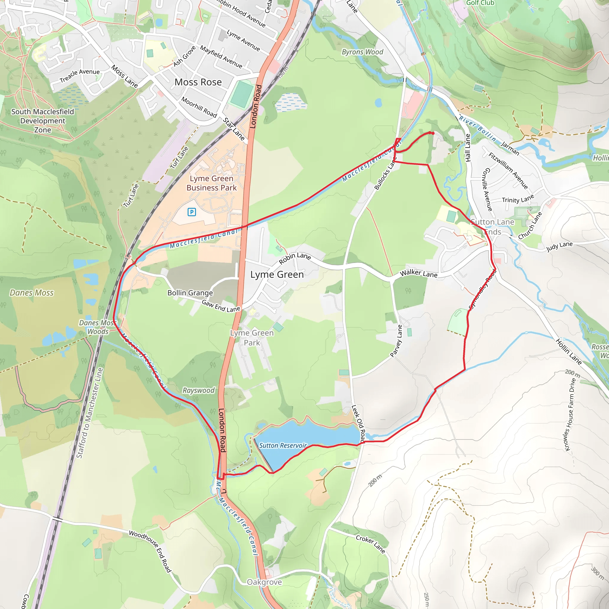
Starting near Cheshire East, England, the Sutton Reservoir and Macclesfield Canal trail is a delightful 6 km (approximately 3.7 miles) loop with virtually no elevation gain, making it accessible for a wide range of hikers. The trailhead is conveniently located near the Sutton Reservoir, which can be accessed by car or public transport. If you're driving, you can park near the Sutton Reservoir, close to the address of Langley, Macclesfield SK11 0NE. For those using public transport, the nearest train station is Macclesfield, from where you can take a local bus or taxi to the trailhead.
Trail Overview
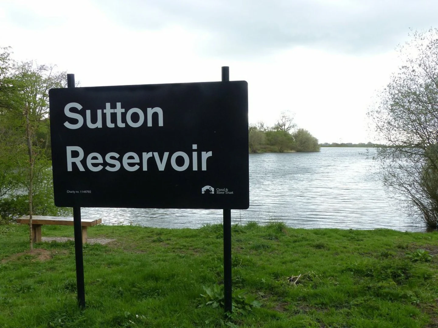
The trail begins at the Sutton Reservoir, a serene body of water that offers a peaceful start to your hike. As you set off, you'll be greeted by the calming sight of the reservoir's still waters, often frequented by a variety of bird species such as swans, ducks, and herons. This area is perfect for birdwatching, so bringing a pair of binoculars could enhance your experience.
Macclesfield Canal
After approximately 1.5 km (0.9 miles), you'll transition from the reservoir to the Macclesfield Canal. This section of the trail is particularly picturesque, with the canal's narrowboats and charming locks adding a touch of historical charm. The Macclesfield Canal was completed in 1831 and played a significant role in the industrial era, facilitating the transport of coal and other goods. As you walk along the towpath, you'll notice the well-preserved stone bridges and lock gates, which are excellent spots for photography.
Flora and Fauna
The trail is rich in both flora and fauna. Depending on the season, you might encounter wildflowers such as bluebells and foxgloves lining the path. The canal itself is home to various aquatic plants and fish, making it a vibrant ecosystem. Keep an eye out for kingfishers darting across the water and the occasional otter if you're lucky.
Navigation and Safety
Navigating this trail is straightforward, but it's always wise to have a reliable navigation tool. The HiiKER app is highly recommended for this purpose, offering detailed maps and real-time updates. The trail is well-marked, but having HiiKER can provide additional peace of mind.
Historical Significance
As you continue along the canal, you'll come across several historical landmarks. One notable site is the Gurnett Aqueduct, located around 3 km (1.8 miles) into the hike. This aqueduct is an engineering marvel of its time, allowing the canal to pass over the River Bollin. The aqueduct offers a unique vantage point to appreciate the surrounding landscape.
Returning to the Trailhead
The loop eventually brings you back towards the Sutton Reservoir, completing the 6 km (3.7 miles) circuit. This final stretch offers more opportunities to enjoy the tranquil waters and perhaps even spot some more wildlife. The flat terrain and well-maintained paths make this trail suitable for hikers of all levels, though the medium difficulty rating suggests a moderate level of fitness is beneficial.
Whether you're a history buff, a nature enthusiast, or simply looking for a pleasant walk, the Sutton Reservoir and Macclesfield Canal trail offers a little something for everyone.
What to expect?
Activity types
Comments and Reviews
User comments, reviews and discussions about the Sutton Reservoir and Macclesfield Canal, England.
4.67
average rating out of 5
3 rating(s)

