Download
Preview
Add to list
More
6.6 km
~1 hrs 52 min
331 m
Loop
“This 7 km loop trail near Cheshire East combines natural beauty, historical intrigue, and moderate challenge.”
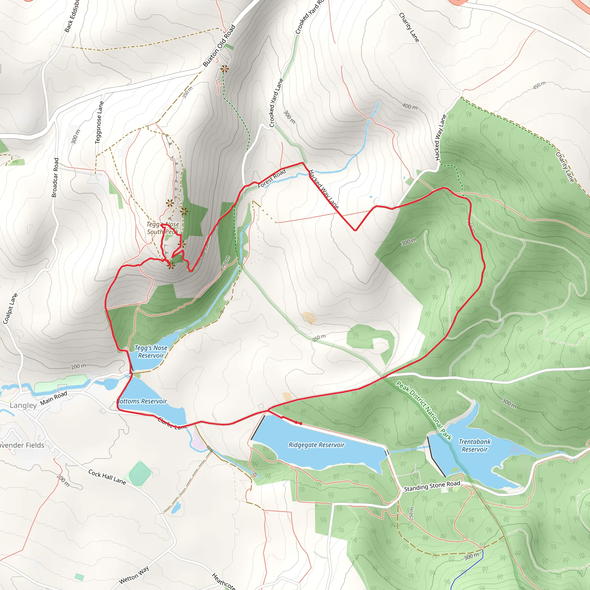
Starting near Cheshire East, England, this 7 km (approximately 4.3 miles) loop trail offers a delightful mix of natural beauty and historical intrigue. With an elevation gain of around 300 meters (approximately 984 feet), it is rated as a medium difficulty hike, making it suitable for moderately experienced hikers.
Getting There To reach the trailhead, you can drive or use public transport. If driving, set your GPS to the nearest known address: Tegg's Nose Country Park, Buxton Old Road, Macclesfield, SK11 0AP. For those using public transport, the nearest train station is Macclesfield, from where you can take a local bus or taxi to Tegg's Nose Country Park.
Trail Overview The trail begins at Tegg's Nose Country Park, a site rich in history and natural beauty. The park itself is named after the distinctive hill that resembles a nose, offering panoramic views of the Cheshire Plain and the Peak District. As you start your hike, you'll follow a well-marked path that initially takes you through a forest bridleway.
Key Landmarks and Sections
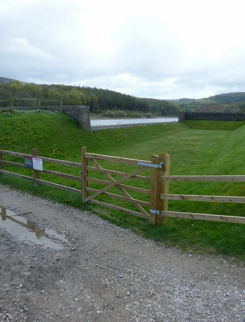
#### Bottoms Reservoir About 1.5 km (0.9 miles) into the hike, you'll reach Bottoms Reservoir. This serene body of water is a great spot for a short break. The reservoir was constructed in the late 19th century to supply water to the nearby town of Macclesfield. Keep an eye out for various bird species that frequent the area, including herons and kingfishers.
#### Tegg's Nose Quarry Continuing on, you'll ascend towards Tegg's Nose Quarry, approximately 3 km (1.9 miles) from the start. This historical quarry was once a bustling site for extracting millstone grit, a type of sandstone used in the local textile industry. Informative plaques along the way provide insights into the quarry's history and its role in the region's industrial past.
#### Panoramic Views As you climb higher, the trail offers stunning panoramic views. On a clear day, you can see as far as the Welsh mountains to the west and the Pennines to the east. This section involves a steady climb, contributing to the trail's total elevation gain of 300 meters (984 feet).
Flora and Fauna The trail is rich in biodiversity. In the forested sections, you'll find oak, birch, and pine trees. The open moorland areas are home to heather and gorse, which bloom vibrantly in late summer. Wildlife enthusiasts should keep an eye out for deer, foxes, and a variety of bird species, including skylarks and buzzards.
Navigation For navigation, it's highly recommended to use the HiiKER app, which provides detailed maps and real-time updates. The trail is well-marked, but having a reliable navigation tool ensures you stay on track and can explore any interesting detours with confidence.
Final Stretch The final stretch of the trail loops back towards Tegg's Nose Country Park. This section is relatively easier, allowing you to cool down as you descend. Before finishing, take a moment to enjoy the views one last time and perhaps visit the park's visitor center, which offers additional information about the area's history and natural features.
This trail offers a perfect blend of natural beauty, historical significance, and moderate physical challenge, making it a rewarding experience for any hiker.
What to expect?
Activity types
Comments and Reviews
User comments, reviews and discussions about the Bottoms Reservoir and Tegg's Nose via Forest Bridleway, England.
4.6
average rating out of 5
5 rating(s)

