Download
Preview
Add to list
More
9.6 km
~2 hrs 9 min
139 m
Loop
“Explore a scenic 10 km loop blending serene landscapes, diverse wildlife, and historical intrigue near Central Bedfordshire.”
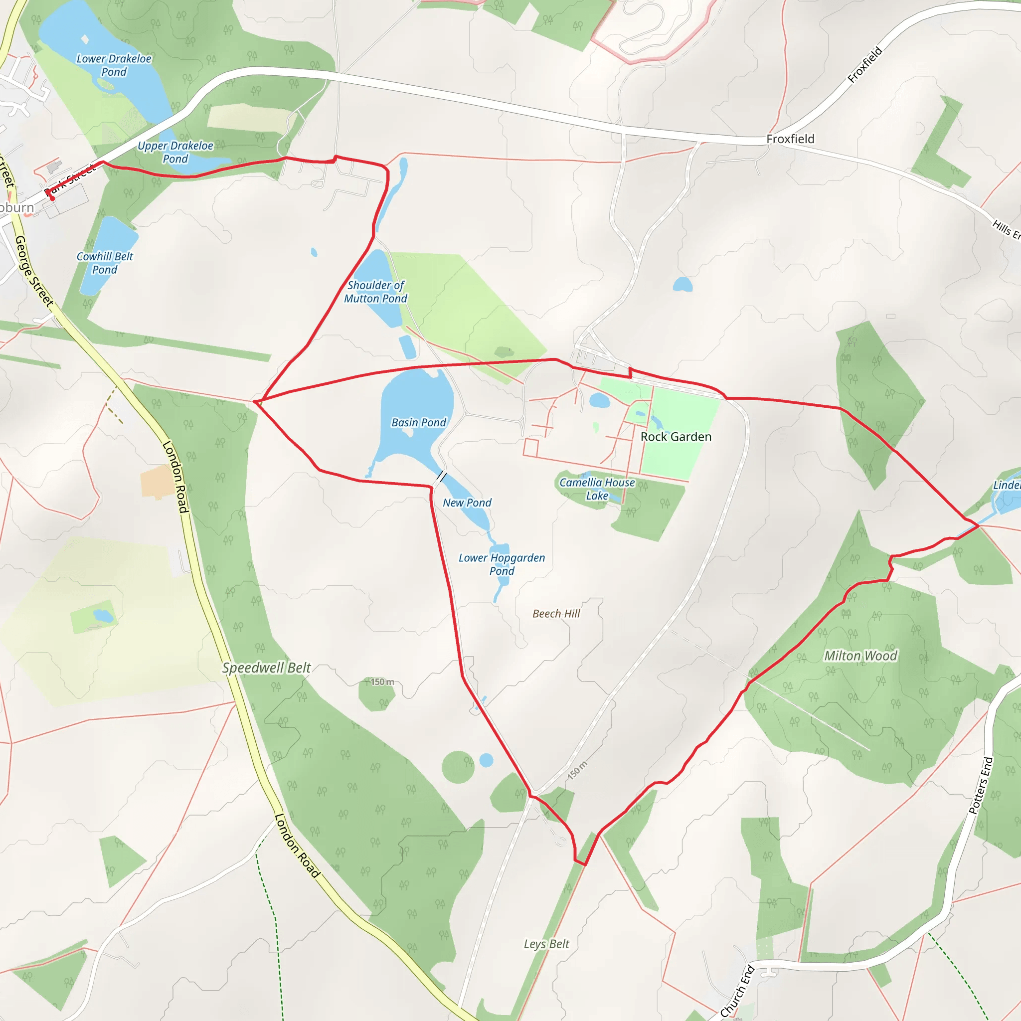
Starting near Central Bedfordshire, England, the Upper Drakeloe Pond and Milton Wood trail is a delightful 10 km (6.2 miles) loop with an elevation gain of around 100 meters (328 feet). This medium-difficulty trail offers a blend of natural beauty and historical intrigue, making it a rewarding experience for hikers.
Getting There To reach the trailhead, you can drive or use public transport. If driving, head towards Central Bedfordshire and look for parking near the village of Aspley Guise. For those using public transport, the nearest train station is Aspley Guise Station, which is a short walk from the trailhead. Buses also service the area, with stops close to the starting point.
Trail Overview The trail begins near Aspley Guise and quickly immerses you in the serene beauty of the English countryside. The initial section is relatively flat, allowing you to ease into the hike. As you progress, you'll encounter a gentle ascent, gaining approximately 100 meters (328 feet) in elevation over the course of the loop.
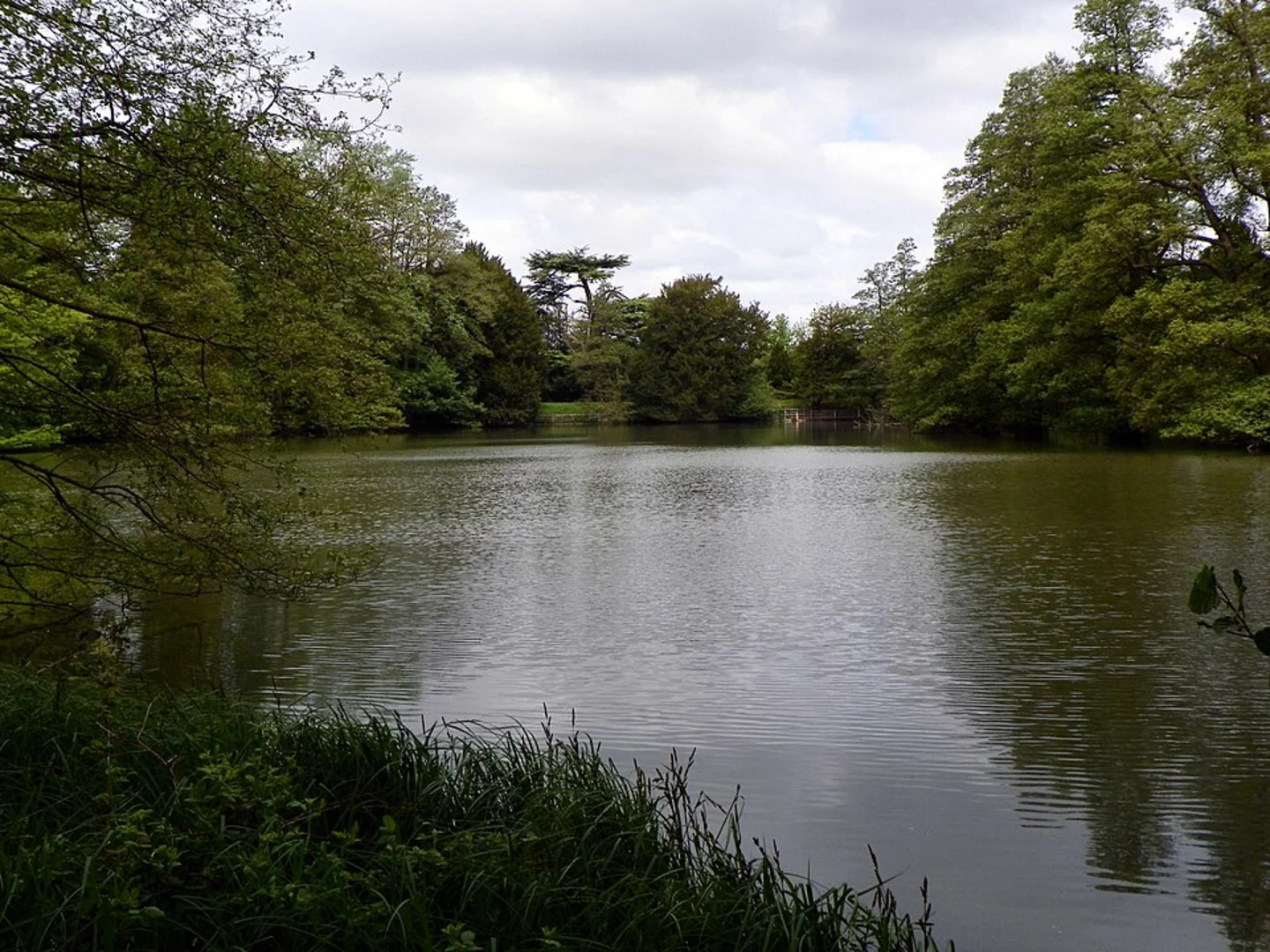
Significant Landmarks and Nature #### Upper Drakeloe Pond Around the 3 km (1.9 miles) mark, you'll come across Upper Drakeloe Pond. This picturesque body of water is a great spot for a short break. The pond is home to various species of waterfowl, so keep your eyes peeled for ducks, swans, and other birds.
#### Milton Wood Continuing on, you'll enter Milton Wood at approximately 5 km (3.1 miles). This ancient woodland is rich in biodiversity, featuring a mix of oak, beech, and ash trees. During spring and summer, the forest floor is carpeted with wildflowers, including bluebells and primroses. Wildlife enthusiasts might spot deer, foxes, and a variety of bird species.
Historical Significance The area around Milton Wood has a rich history. Evidence of ancient settlements and medieval farming practices can be found throughout the region. As you hike, you'll notice remnants of old stone walls and possibly even some ancient tools or pottery shards if you look closely. These artifacts offer a glimpse into the lives of those who inhabited the area centuries ago.
Navigation and Safety Given the trail's moderate difficulty, it's advisable to use a reliable navigation tool like HiiKER to stay on track. The path is well-marked, but having a digital map can be reassuring, especially in the denser sections of Milton Wood. Wear sturdy hiking boots, as some parts of the trail can be muddy, particularly after rain.
Final Stretch The final 2 km (1.2 miles) of the trail loop back towards Aspley Guise, offering a gentle descent that allows you to cool down and reflect on the hike. This section passes through open fields and meadows, providing a different but equally charming landscape compared to the wooded areas.
This trail offers a balanced mix of natural beauty, wildlife, and historical intrigue, making it a must-visit for hikers in the Central Bedfordshire area.
What to expect?
Activity types
Comments and Reviews
User comments, reviews and discussions about the Upper Drakeloe Pond and Milton Wood, England.
4.25
average rating out of 5
4 rating(s)

