Download
Preview
Add to list
More
14.4 km
~3 hrs 30 min
381 m
Loop
“Explore Calderdale's captivating 14 km trail featuring serene reservoirs, historical landmarks, diverse wildlife, and stunning views.”
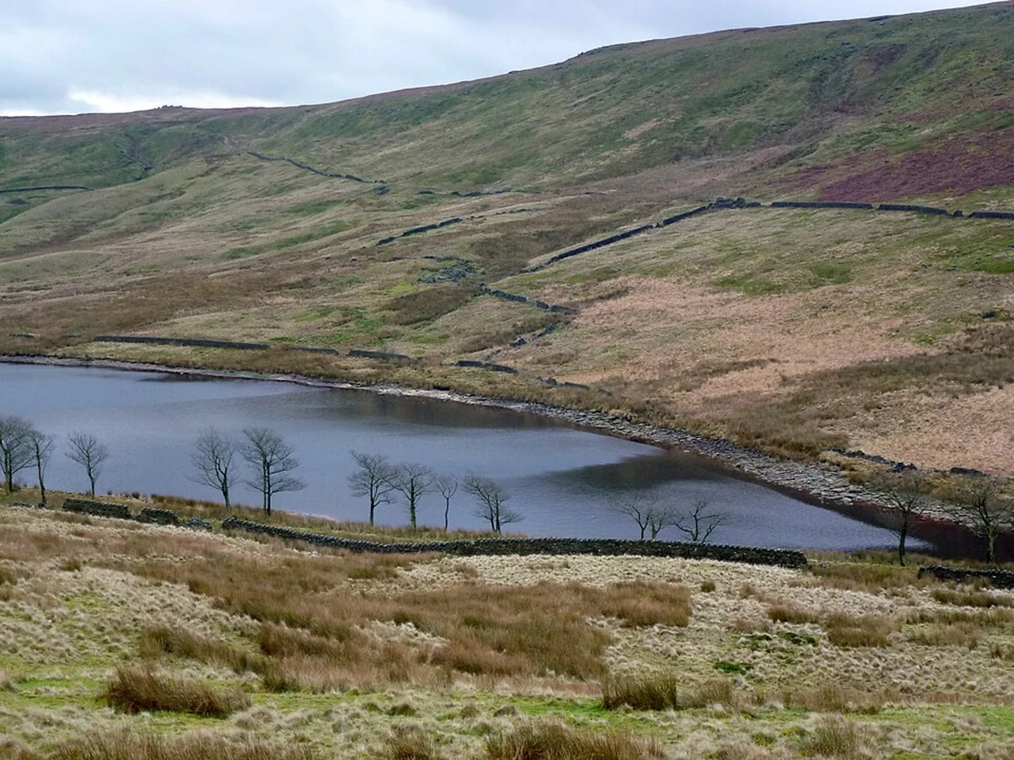
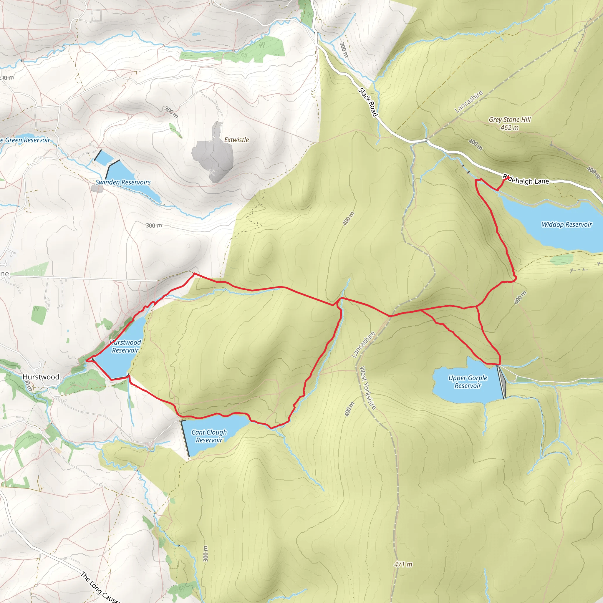
Starting near Calderdale, England, the Hurstwood, Cant Clough, and Upper Gorple Reservoir Loop Walk is a captivating 14 km (approximately 8.7 miles) loop trail with an elevation gain of around 300 meters (984 feet). This medium-difficulty trail offers a blend of natural beauty, historical landmarks, and diverse wildlife, making it a rewarding experience for hikers.### Getting There To reach the trailhead, you can drive or use public transport. If driving, set your GPS to Hurstwood Lane, Burnley, BB10 3LF, which is the nearest known address. For public transport, take a train to Burnley Central Station and then a bus to Hurstwood Lane. The trailhead is a short walk from there.### Trail Overview The trail begins near Hurstwood Reservoir, a serene spot perfect for a moment of reflection before you start your hike. As you set off, you'll be greeted by a well-marked path that winds through lush woodlands and open moorlands. The initial 2 km (1.2 miles) are relatively flat, allowing you to ease into the hike.### Hurstwood Reservoir to Cant Clough Reservoir After the first 2 km, you'll start a gentle ascent towards Cant Clough Reservoir. This section of the trail offers panoramic views of the surrounding countryside, with rolling hills and expansive moorlands. Keep an eye out for local wildlife, including various bird species and the occasional deer. The climb is gradual, gaining about 100 meters (328 feet) over the next 3 km (1.8 miles).### Cant Clough Reservoir to Upper Gorple Reservoir Upon reaching Cant Clough Reservoir, take a moment to enjoy the tranquil waters and perhaps snap a few photos. The trail then continues towards Upper Gorple Reservoir, another 4 km (2.5 miles) away. This section is slightly more challenging, with a steeper ascent that adds another 150 meters (492 feet) to your elevation gain. The path here can be rocky, so sturdy hiking boots are recommended.### Historical Significance As you approach Upper Gorple Reservoir, you'll pass through areas rich in history. The reservoirs themselves were constructed in the late 19th and early 20th centuries to supply water to the surrounding towns. The remnants of old stone structures and walls can still be seen, offering a glimpse into the area's industrial past.### Upper Gorple Reservoir to Trail End The final stretch of the trail takes you from Upper Gorple Reservoir back to the starting point near Hurstwood Reservoir. This 5 km (3.1 miles) section is mostly downhill, providing a pleasant and less strenuous end to your hike. The descent offers stunning views of the reservoirs below and the distant hills, making it a perfect opportunity to reflect on your journey.### Navigation and Safety For navigation, it's highly recommended to use the HiiKER app, which provides detailed maps and real-time updates. The trail is well-marked, but having a reliable navigation tool ensures you stay on track. Always carry sufficient water, snacks, and a basic first-aid kit. Weather in this region can be unpredictable, so pack a waterproof jacket and layers to adjust to changing conditions.### Flora and Fauna Throughout the hike, you'll encounter a variety of flora and fauna. The woodlands are home to oak, birch, and pine trees, while the moorlands are covered in heather and wild grasses. Birdwatchers will be delighted by the presence of species such as curlews, lapwings, and kestrels. In the spring and summer, the area bursts into color with wildflowers, adding to the trail's scenic beauty.This trail offers a perfect blend of natural beauty, historical intrigue, and moderate physical challenge, making it an excellent choice for hikers looking to explore the picturesque landscapes of Calderdale.
What to expect?
Activity types
Comments and Reviews
User comments, reviews and discussions about the Hurstwood, Cant Clough and Upper Gorple Reservoir Loop Walk, England.
5.0
average rating out of 5
2 rating(s)

