Download
Preview
Add to list
More
10.5 km
~2 hrs 38 min
333 m
Point-to-Point
“Explore vibrant woodlands, historic villages, and panoramic moorlands on the Hebden Bridge to Todmorden Walk.”
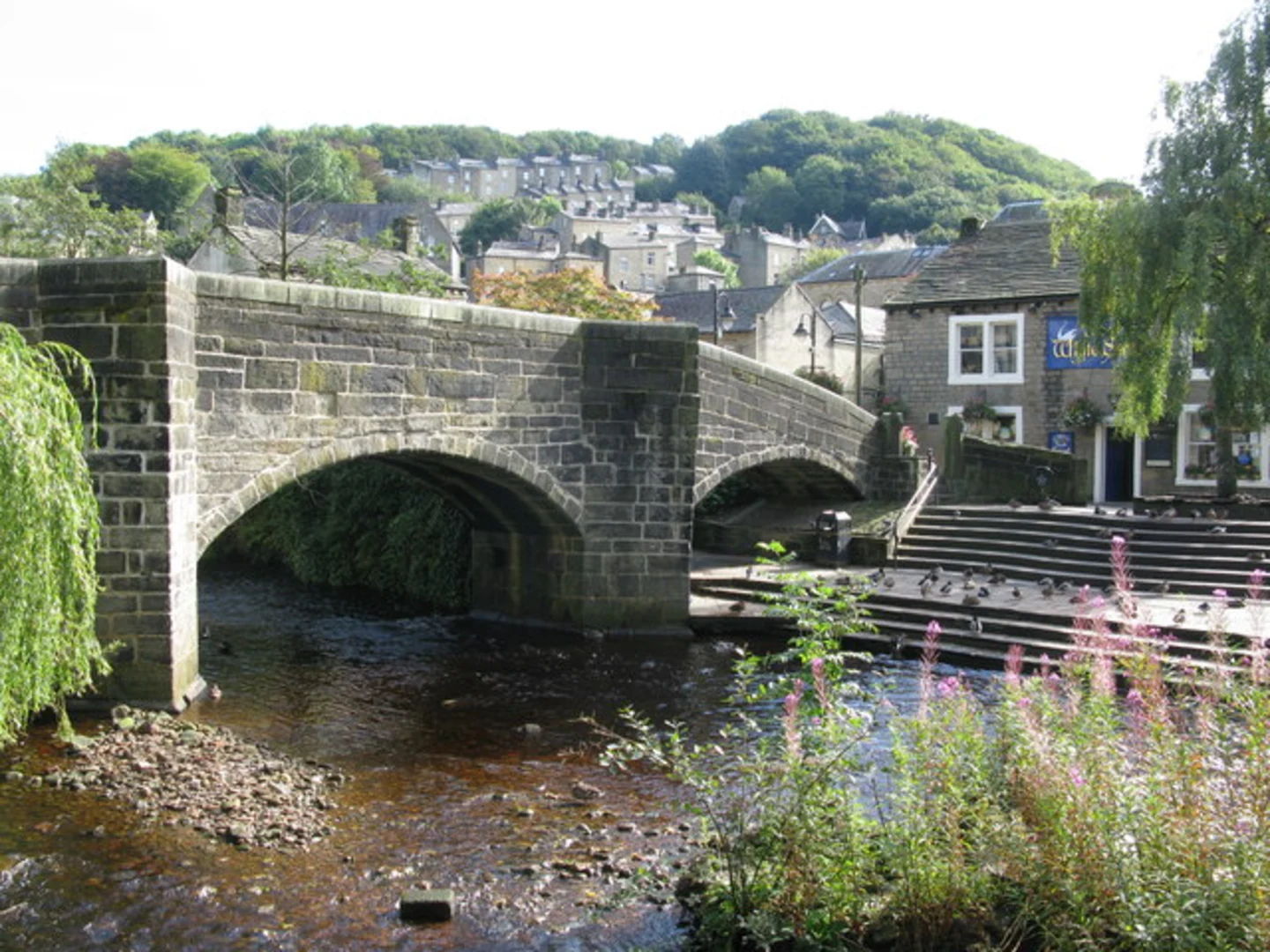
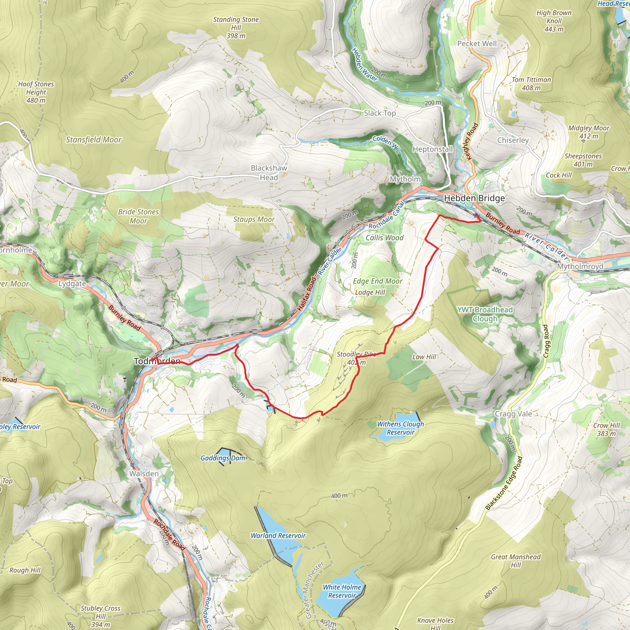
Starting near Calderdale, England, the Hebden Bridge to Todmorden Walk spans approximately 10 km (6.2 miles) with an elevation gain of around 300 meters (984 feet). This point-to-point trail is rated as medium difficulty, making it suitable for moderately experienced hikers.### Getting There To reach the trailhead, you can take a train to Hebden Bridge Station, which is well-connected to major cities like Manchester and Leeds. If you're driving, parking is available near the station or in the town center. From there, it's a short walk to the start of the trail.### Trail Overview The trail begins in the charming town of Hebden Bridge, known for its vibrant arts scene and historic architecture. As you set off, you'll follow the Rochdale Canal for a short distance, offering a gentle start with picturesque views of narrowboats and waterside cottages.### Initial Ascent After about 1.5 km (0.9 miles), the trail veers away from the canal and begins a steady ascent through lush woodlands. This section can be a bit challenging, with an elevation gain of approximately 150 meters (492 feet) over the next 2 km (1.2 miles). Keep an eye out for local wildlife, including deer and various bird species.### Midway Point: Historical Significance Around the 5 km (3.1 miles) mark, you'll reach the village of Heptonstall. This historic village is worth a brief detour. Visit the ruins of the old church of St. Thomas à Becket, dating back to the 13th century, and the grave of poet Sylvia Plath in the newer churchyard.### Scenic Views and Moorlands Continuing on, the trail opens up to expansive moorlands, offering panoramic views of the Calder Valley. This section is relatively flat, providing a welcome respite after the earlier climb. The landscape here is dotted with heather and wildflowers, especially vibrant in late summer.### Final Descent As you approach Todmorden, the trail begins to descend gradually. The final 2 km (1.2 miles) take you through a mix of farmland and woodland, eventually leading you into the town. Todmorden is known for its community spirit and the Incredible Edible project, which has transformed public spaces into communal gardens.### Navigation and Safety For navigation, it's highly recommended to use HiiKER, which provides detailed maps and real-time updates. The trail is generally well-marked, but having a reliable navigation tool can be invaluable, especially in the more remote sections.### Wildlife and Flora Throughout the hike, you'll encounter a variety of flora and fauna. The woodlands are home to bluebells in spring, while the moorlands feature hardy shrubs and grasses. Birdwatchers may spot kestrels, owls, and even peregrine falcons.### Ending the Hike The trail concludes in Todmorden, where you can catch a train back to Hebden Bridge or continue your journey. The town offers several cafes and pubs, perfect for a post-hike meal.This trail offers a blend of natural beauty, historical landmarks, and local culture, making it a rewarding experience for those who undertake it.
What to expect?
Activity types
Comments and Reviews
User comments, reviews and discussions about the Hebden Bridge to Todmorden Walk, England.
4.0
average rating out of 5
1 rating(s)

