Download
Preview
Add to list
More
11.1 km
~2 hrs 37 min
242 m
Loop
“Explore the scenic 11 km Jumbles and Wayoh Reservoir Loop, blending natural beauty, history, and moderate challenge.”
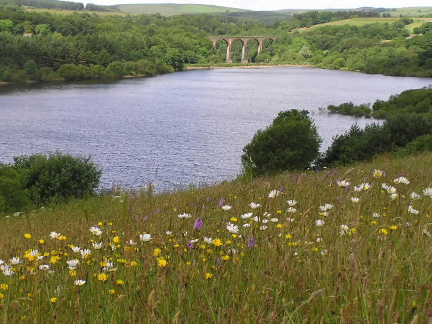
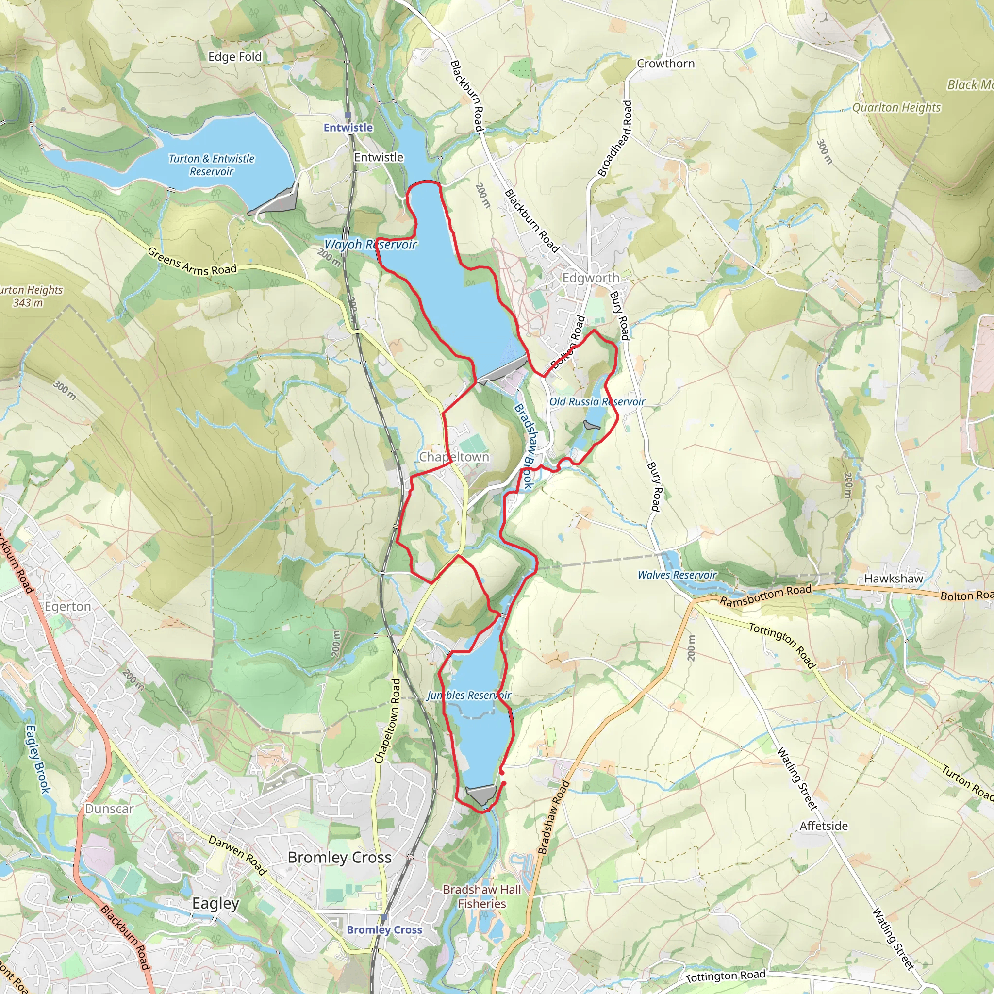
Starting near Bolton, England, the Jumbles Reservoir and Wayoh Reservoir Loop is a picturesque 11 km (approximately 6.8 miles) trail with an elevation gain of around 200 meters (656 feet). This loop trail offers a medium difficulty rating, making it suitable for moderately experienced hikers.### Getting ThereTo reach the trailhead, you can drive or use public transport. If driving, you can park at the Jumbles Country Park car park, located near Bradshaw Road, Bolton. For those using public transport, the nearest train station is Bromley Cross, which is about 1.5 km (0.9 miles) from the trailhead. From the station, you can either walk or take a local bus to the starting point.### Trail OverviewThe trail begins at Jumbles Country Park, a serene area known for its lush greenery and tranquil waters. As you start your hike, you'll be greeted by the sight of Jumbles Reservoir, a popular spot for birdwatching. Keep an eye out for species like herons, kingfishers, and various waterfowl.### Key Landmarks and Sections#### Jumbles Reservoir to Wayoh ReservoirThe initial part of the trail takes you around Jumbles Reservoir. This section is relatively flat and offers a good warm-up. After about 2 km (1.2 miles), you'll start to ascend gently towards the Wayoh Reservoir. The elevation gain here is gradual, making it manageable for most hikers.#### Wayoh ReservoirAt approximately 5 km (3.1 miles) into the hike, you'll reach Wayoh Reservoir. This reservoir is slightly larger and offers stunning views of the surrounding hills. There are several picnic spots here, making it a great place to take a break and enjoy the scenery. The area is also rich in history, with the reservoir itself being constructed in the 19th century to supply water to the nearby towns.#### Return LoopThe return loop takes you through a mix of woodland and open fields. This section is more undulating, with a few short but steep climbs. You'll pass by several old stone walls and farmhouses, remnants of the area's agricultural past. The final stretch brings you back to Jumbles Reservoir, completing the loop.### Navigation and SafetyFor navigation, it's highly recommended to use the HiiKER app, which provides detailed maps and real-time tracking. The trail is well-marked, but having a reliable navigation tool can help you stay on course, especially in the more wooded sections.### Flora and FaunaThe trail is rich in biodiversity. In spring and summer, the woodlands are carpeted with bluebells and wild garlic. You might also spot deer, foxes, and a variety of bird species. The reservoirs themselves are teeming with aquatic life, making it a rewarding experience for nature enthusiasts.### Historical SignificanceThe area around the reservoirs has a rich history. The reservoirs were built during the Industrial Revolution to supply water to the rapidly growing towns and cities. The old stone structures and pathways you encounter along the trail are a testament to this period. The nearby village of Edgworth, which you can detour to, has several historical buildings and a quaint charm that adds to the overall experience.### Final StretchAs you near the end of the loop, you'll descend back towards Jumbles Reservoir. The final 2 km (1.2 miles) are relatively flat, allowing you to cool down and enjoy the serene environment. The trail ends back at the Jumbles Country Park car park, where you can relax and reflect on your hike.This trail offers a perfect blend of natural beauty, historical significance, and moderate physical challenge, making it a must-visit for hikers in the Bolton area.
What to expect?
Activity types
Comments and Reviews
User comments, reviews and discussions about the Jumbles Reservoir and Wayoh Reservoir Loop, England.
4.57
average rating out of 5
7 rating(s)

