Download
Preview
Add to list
More
10.5 km
~2 hrs 13 min
75 m
Out and Back
“The Stratford upon Avon Canal Walk - Kings Norton offers a flat, scenic hike rich in history and nature.”
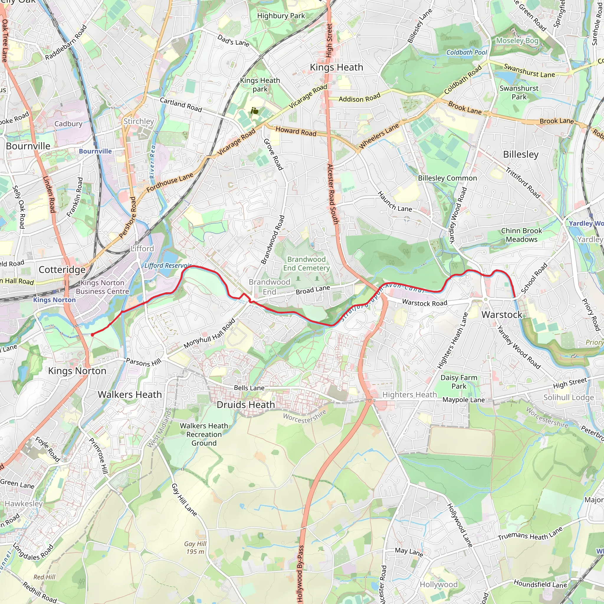
Starting near Birmingham, England, the Stratford upon Avon Canal Walk - Kings Norton is an 11 km (approximately 6.8 miles) out-and-back trail with no significant elevation gain, making it a relatively flat and accessible hike. The trailhead is conveniently located near the Kings Norton Junction, a notable landmark where the Stratford-upon-Avon Canal meets the Worcester and Birmingham Canal.
Getting There To reach the trailhead, you can take public transport from Birmingham city center. The nearest train station is Kings Norton, which is well-connected by local trains. From the station, it's a short walk to the canal junction. If you're driving, there is parking available near the Kings Norton Junction, but spaces can be limited, especially on weekends.
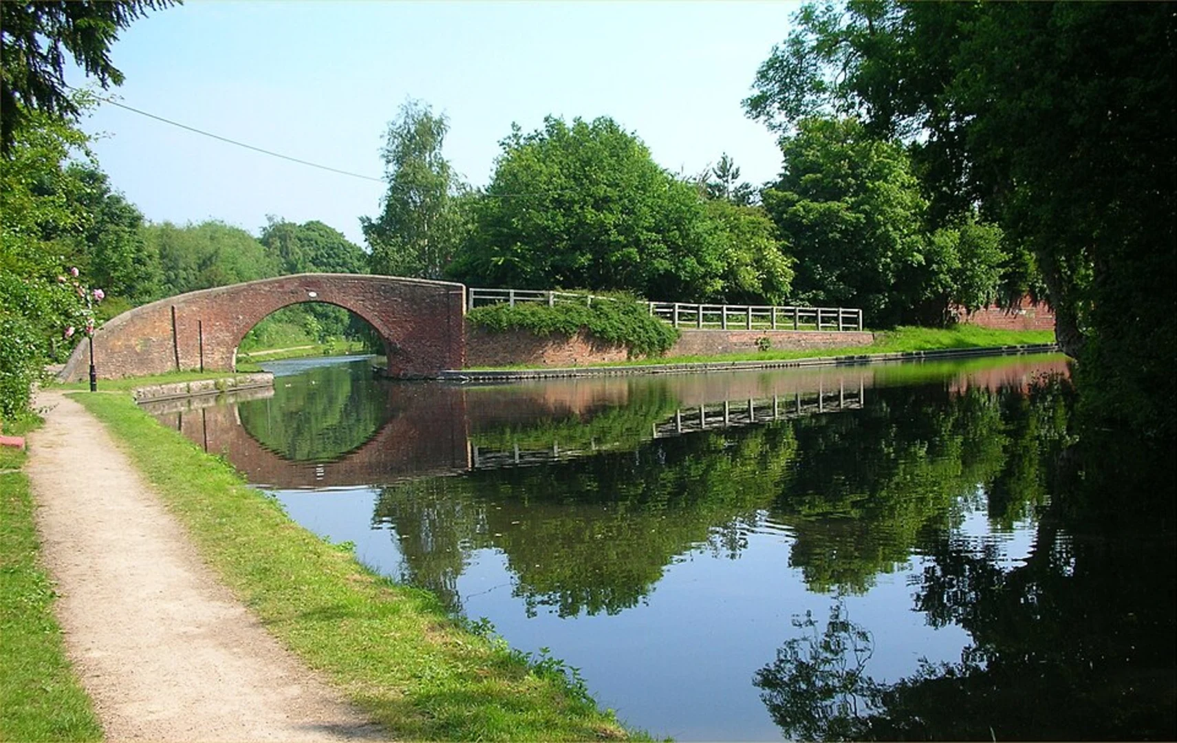
Trail Overview The trail follows the Stratford-upon-Avon Canal, offering a serene and picturesque walk along the waterway. As you set off from Kings Norton, you'll immediately notice the tranquil atmosphere, with the canal flanked by lush greenery and occasional narrowboats moored along the banks.
Historical Significance The Stratford-upon-Avon Canal has a rich history dating back to the early 19th century. It was originally constructed to facilitate the transport of goods between Birmingham and Stratford-upon-Avon. Along the trail, you'll encounter several historical structures, including old canal locks and bridges, which are remnants of the canal's industrial past.
Points of Interest - **Kings Norton Junction (0 km / 0 miles):** The starting point of the trail, this junction is a key historical site where two major canals intersect. - **Brandwood Tunnel (2 km / 1.2 miles):** One of the highlights of the trail, this 352-meter (1,155-foot) tunnel is an engineering marvel. The tunnel is unlit, so be prepared with a flashlight if you plan to explore it. - **Wast Hills Tunnel (4 km / 2.5 miles):** Another significant tunnel on the route, stretching 2,726 meters (8,944 feet). However, this tunnel is not accessible to walkers, so you'll need to follow the towpath over the top. - **Hopwood (5.5 km / 3.4 miles):** A charming village where you can take a break and enjoy a meal at one of the local pubs. The Hopwood House pub is a popular choice among hikers.
Nature and Wildlife The canal walk is a haven for wildlife enthusiasts. Keep an eye out for various bird species, including kingfishers, herons, and swans. The canal itself is home to fish like roach and perch, and you might even spot the occasional otter if you're lucky. The surrounding woodlands and meadows are teeming with flora and fauna, making it a delightful experience for nature lovers.
Navigation For navigation, it's recommended to use HiiKER, which provides detailed maps and real-time updates. The trail is well-marked, but having a reliable navigation tool can enhance your hiking experience and ensure you stay on track.
Practical Tips - **Footwear:** Given the flat terrain, comfortable walking shoes are sufficient. However, the towpath can get muddy after rain, so waterproof footwear is advisable. - **Weather:** The trail is exposed in some sections, so check the weather forecast and dress accordingly. Bring a rain jacket if rain is expected. - **Supplies:** Carry enough water and snacks, especially if you plan to complete the entire out-and-back route. There are limited facilities along the way, so it's best to be self-sufficient.
This trail offers a blend of historical intrigue, natural beauty, and peaceful walking, making it a rewarding experience for hikers of all levels.
What to expect?
Activity types
Comments and Reviews
User comments, reviews and discussions about the Stratford upon Avon Canal Walk - Kings Norton, England.
average rating out of 5
0 rating(s)

