Download
Preview
Add to list
More
5.3 km
~1 hrs 11 min
80 m
Loop
“Discover the High Littleton Park Loop, a scenic, accessible 5 km trail rich in nature and history.”
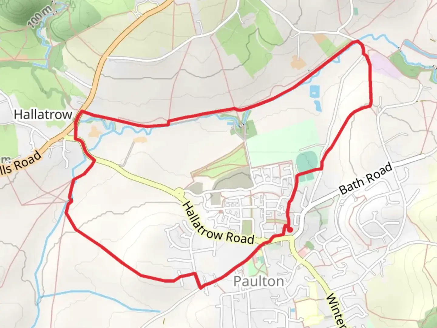
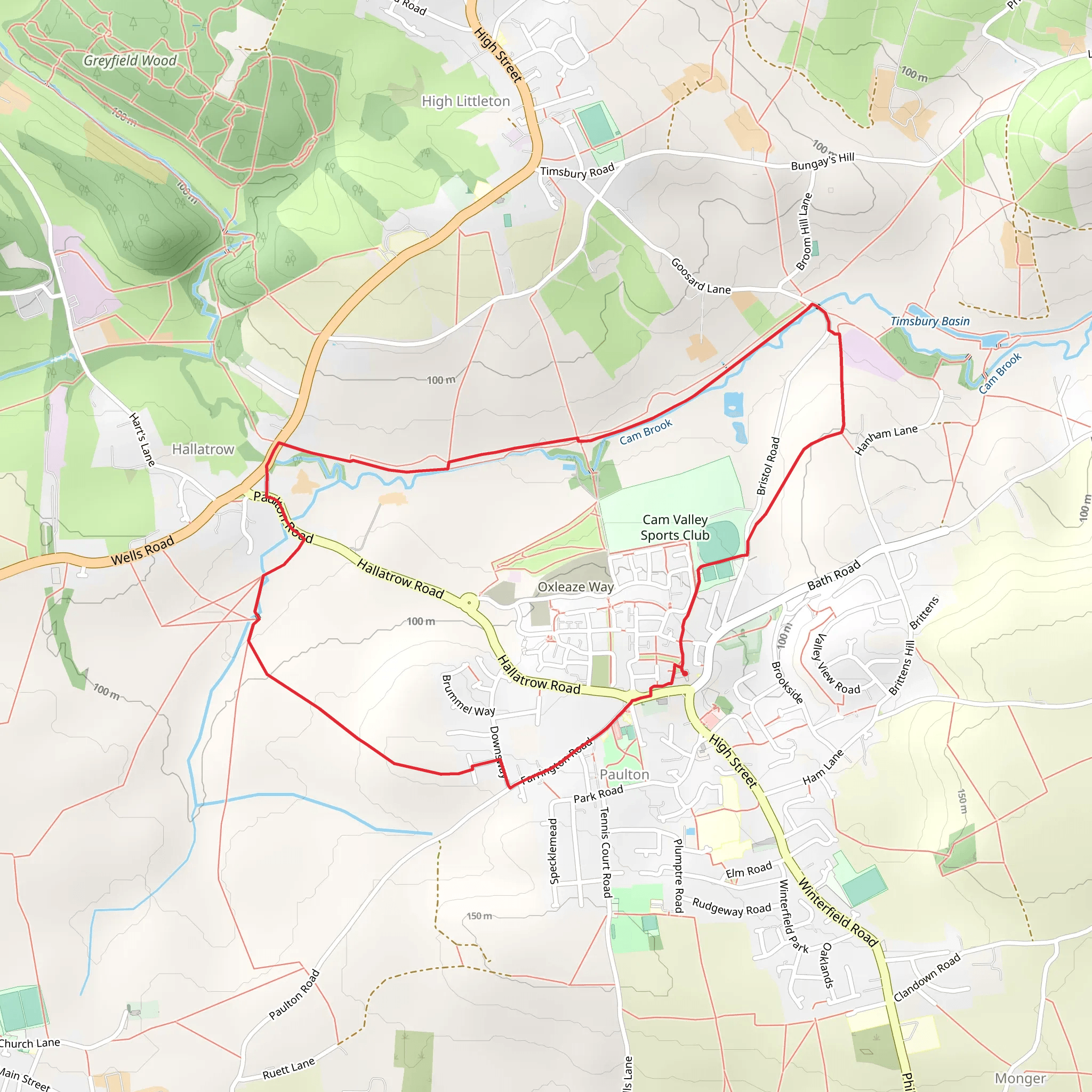
Starting near Bath and North East Somerset, England, the High Littleton Park Loop is a delightful 5 km (approximately 3.1 miles) loop trail with no significant elevation gain, making it accessible for a wide range of hikers. The trailhead is conveniently located near the village of High Littleton, which can be reached by car or public transport. If driving, you can park near the High Littleton Recreation Ground. For those using public transport, buses from Bath and Bristol frequently stop in High Littleton, making it an easy destination to reach.
Trail Overview
The trail begins at the High Littleton Recreation Ground, a well-maintained area perfect for a pre-hike stretch. As you set off, you'll find yourself walking through a mix of open fields and wooded areas, offering a variety of landscapes to enjoy. The path is well-marked, but it's always a good idea to have a navigation tool like HiiKER to ensure you stay on track.
Flora and Fauna
The High Littleton Park Loop is rich in natural beauty. In the spring and summer months, the fields are often adorned with wildflowers such as bluebells and buttercups. The wooded sections are home to a variety of bird species, including robins, woodpeckers, and occasionally, you might spot a kestrel hovering above the fields. Keep an eye out for small mammals like rabbits and squirrels, which are commonly seen along the trail.
Historical Significance
As you walk, you'll pass by several points of historical interest. The village of High Littleton itself has a rich history dating back to the Domesday Book. Approximately 2 km (1.2 miles) into the hike, you'll come across the remains of an old coal mining site, a nod to the area's industrial past. Informational plaques provide context and history, making it a great educational stop.
Key Landmarks
- High Littleton Recreation Ground: Starting point with parking and facilities. - Old Coal Mining Site: Located about 2 km (1.2 miles) into the trail, offering historical insights. - Wooded Area: Around the 3 km (1.9 miles) mark, you'll enter a serene wooded section, perfect for birdwatching. - Open Fields: The final stretch of the trail takes you through picturesque open fields, offering panoramic views of the surrounding countryside.
Navigation and Safety
The trail is generally well-maintained, but after heavy rain, some sections can become muddy and slippery. Good hiking boots are recommended. While the trail is rated as medium difficulty, it's always wise to carry a map or use a navigation tool like HiiKER to ensure you stay on the correct path. There are no significant elevation changes, making it a relatively easy hike, but always be prepared with water and snacks.
Getting There
For those driving, set your GPS to High Littleton Recreation Ground, High Littleton, Bath and North East Somerset. If using public transport, buses from Bath and Bristol frequently stop in High Littleton. From the bus stop, it's a short walk to the trailhead.
This trail offers a perfect blend of natural beauty, historical interest, and accessibility, making it a great choice for a day hike in the English countryside.
What to expect?
Activity types
Comments and Reviews
User comments, reviews and discussions about the High Littleton Park Loop, England.
average rating out of 5
0 rating(s)
