Download
Preview
Add to list
More
16.7 km
~4 hrs 0 min
392 m
Loop
“Explore a scenic 17 km loop with natural beauty, historic landmarks, and charming villages near Bath and North East Somerset.”
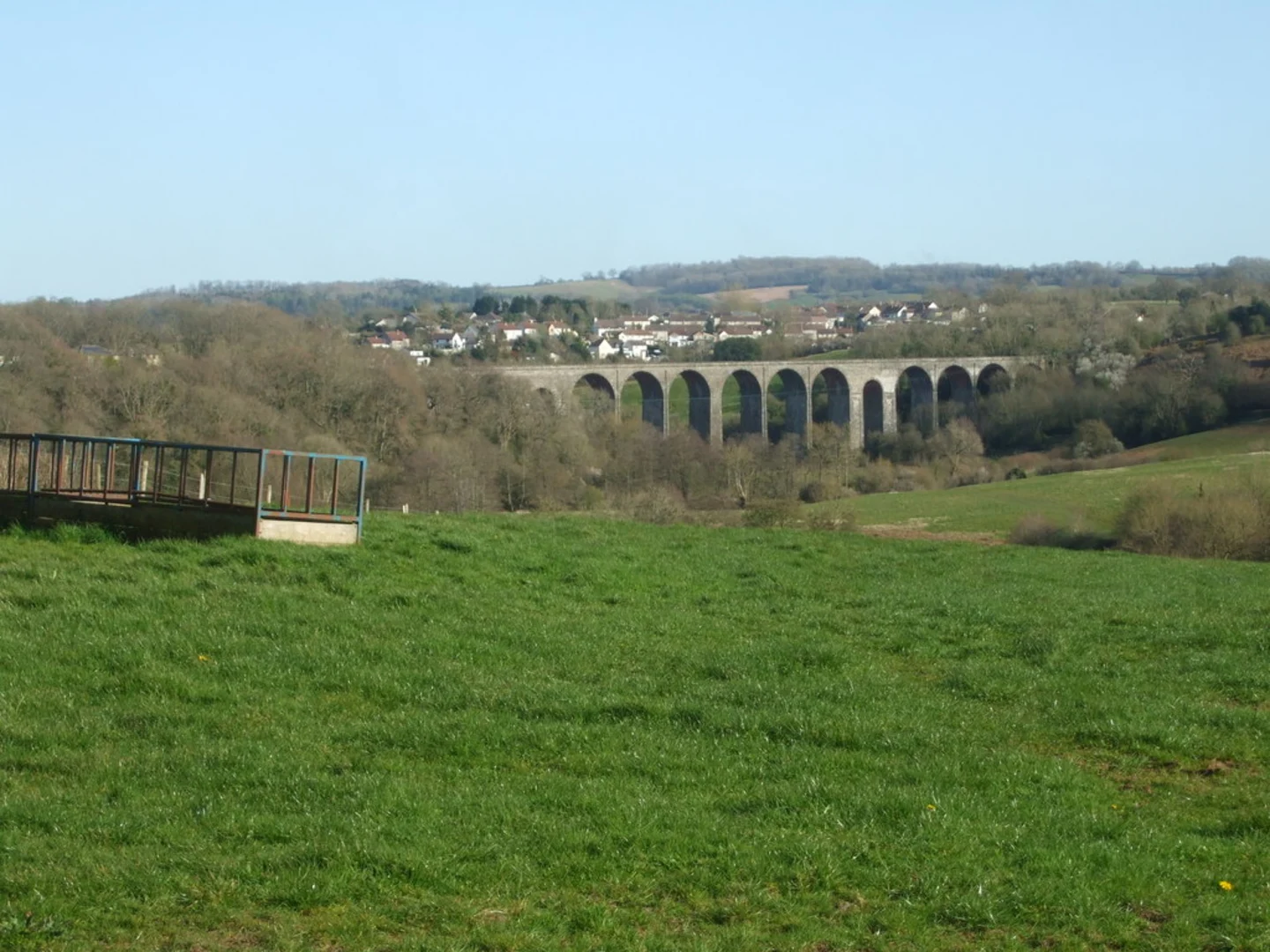
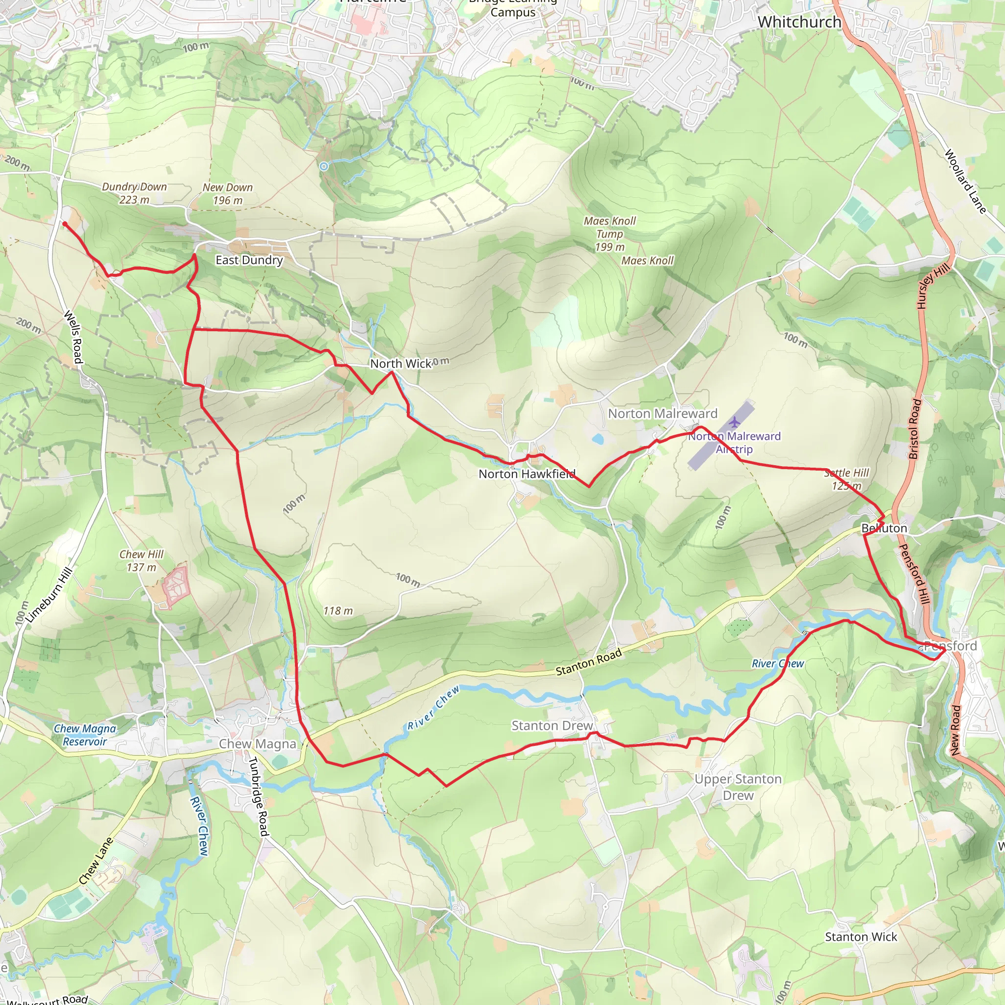
Starting near Bath and North East Somerset, England, the Dundry, Chew Magna and Pensford Loop via Settle Hill is a captivating 17 km (10.5 miles) loop trail with an elevation gain of approximately 300 meters (984 feet). This medium-difficulty trail offers a blend of natural beauty, historical landmarks, and charming villages, making it a rewarding experience for hikers.### Getting There To reach the trailhead, you can drive or use public transport. If driving, set your GPS to the nearest significant landmark, which is the village of Dundry. There is limited parking available in the village, so arriving early is advisable. For public transport, take a train to Bristol Temple Meads and then a bus to Dundry. The bus journey takes around 30 minutes.### Trail Overview The trail begins in Dundry, a quaint village known for its panoramic views over Bristol and the surrounding countryside. As you start your hike, you'll ascend Settle Hill, gaining approximately 100 meters (328 feet) in elevation over the first 2 km (1.2 miles). The climb is steady but manageable, offering stunning vistas as a reward.### Key Sections and Landmarks#### Dundry to Chew Magna After descending Settle Hill, the trail leads you through rolling farmland and picturesque meadows. Around the 5 km (3.1 miles) mark, you'll reach Chew Magna, a historic village with roots dating back to the Roman era. Here, you can explore the Church of St. Andrew, a Grade I listed building with a tower that dates back to the 12th century. This is a good spot to take a break and perhaps enjoy a snack.#### Chew Magna to Pensford Continuing on, the trail meanders through lush woodlands and alongside the River Chew. At approximately 10 km (6.2 miles), you'll arrive in Pensford, another village steeped in history. The Pensford Viaduct, an impressive 19th-century railway viaduct, is a notable landmark here. Though no longer in use, it stands as a testament to the area's industrial past.#### Pensford to Dundry The final leg of the loop takes you back towards Dundry, passing through more serene countryside and offering occasional glimpses of local wildlife, including deer and various bird species. The last 5 km (3.1 miles) involve a gentle ascent back to the starting point, with an elevation gain of around 50 meters (164 feet).### Navigation and Safety For navigation, it is highly recommended to use the HiiKER app, which provides detailed maps and real-time GPS tracking to ensure you stay on course. The trail is well-marked, but having a reliable navigation tool adds an extra layer of security.### Flora and Fauna Throughout the hike, you'll encounter a variety of flora, including ancient oak trees, wildflowers, and hedgerows. The area is also home to diverse wildlife, such as foxes, badgers, and numerous bird species, making it a delight for nature enthusiasts.### Historical Significance The region is rich in history, from Roman settlements to medieval churches and industrial-era structures like the Pensford Viaduct. Each village along the route has its own unique story, adding depth to your hiking experience.This trail offers a perfect blend of physical challenge, natural beauty, and historical intrigue, making it a must-visit for any hiking enthusiast.
What to expect?
Activity types
Comments and Reviews
User comments, reviews and discussions about the Dundry, Chew Magna and Pensford Loop via Settle Hill, England.
4.67
average rating out of 5
3 rating(s)

