Download
Preview
Add to list
More
8.4 km
~1 hrs 58 min
173 m
Loop
“Explore the vibrant Height and Wharncliffe Woods Loop for stunning views, rich history, and diverse wildlife.”
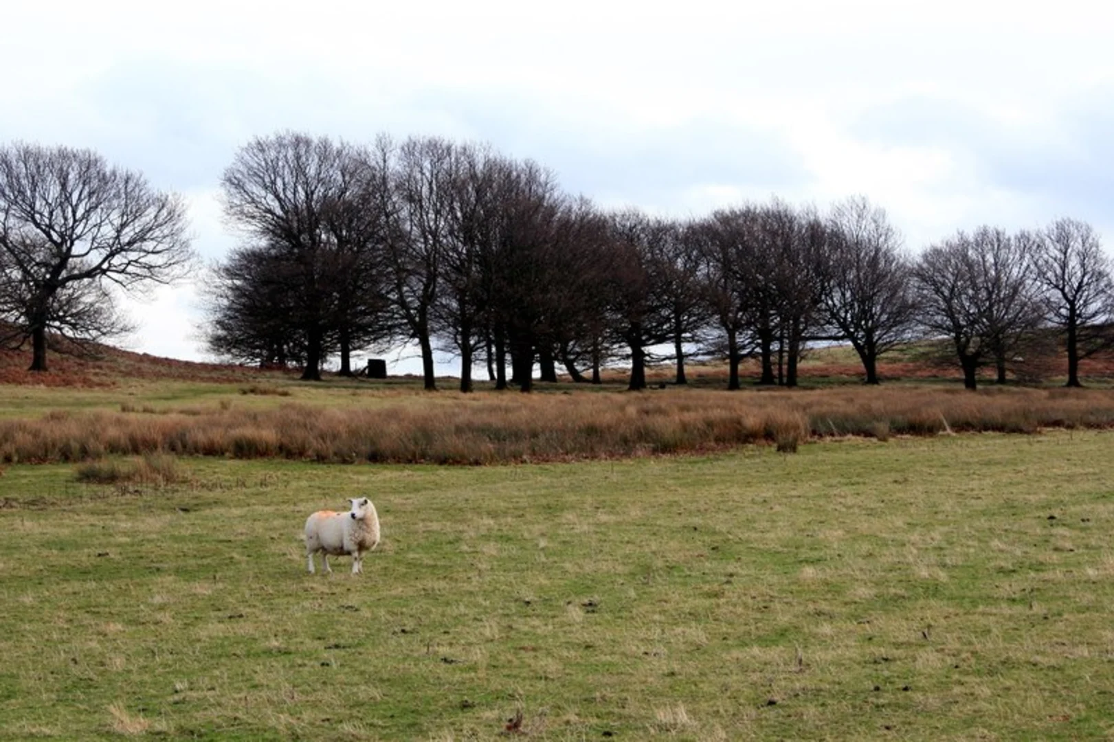
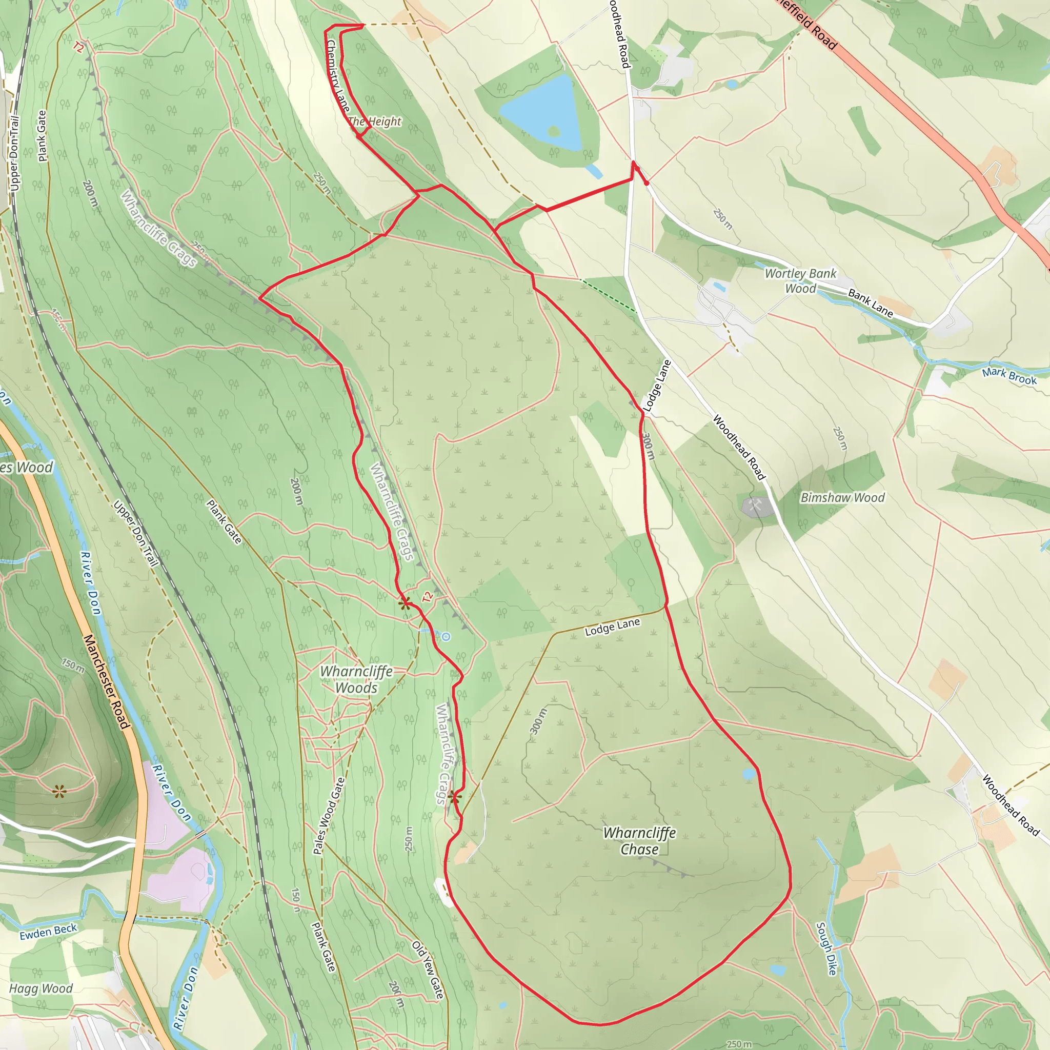
Starting near Barnsley, England, the Height and Wharncliffe Woods Loop is an 8 km (approximately 5 miles) trail with an elevation gain of around 100 meters (328 feet). This loop trail is rated as medium difficulty, making it suitable for moderately experienced hikers.### Getting There To reach the trailhead, you can drive or use public transport. If driving, set your GPS to Wharncliffe Side, Sheffield S35 0DQ, which is the nearest significant landmark. For public transport, take a train to Barnsley Station and then a bus towards Wharncliffe Side. The trailhead is a short walk from the bus stop.### Trail Overview The trail begins with a gentle ascent through mixed woodland, offering a serene start to your hike. As you progress, you'll encounter a variety of tree species, including oak, birch, and pine, which provide ample shade and a rich habitat for local wildlife.### Key Landmarks and Points of Interest - Wharncliffe Crags: About 2 km (1.2 miles) into the hike, you'll reach Wharncliffe Crags, a series of dramatic rock formations that offer stunning views of the surrounding countryside. This is a great spot for a short break and some photography. - Historical Significance: Wharncliffe Woods have a rich history, dating back to medieval times when they were part of a royal hunting ground. Keep an eye out for ancient boundary markers and remnants of old stone walls. - Wharncliffe Heath Nature Reserve: Around the 4 km (2.5 miles) mark, you'll enter the Wharncliffe Heath Nature Reserve. This area is a haven for birdwatchers, with species such as the green woodpecker and the lesser spotted woodpecker frequently seen.### Wildlife and Flora The trail is home to a diverse range of wildlife. Deer are commonly spotted in the early mornings or late afternoons. The undergrowth is rich with ferns and wildflowers, particularly in the spring and summer months. ### Navigation and Safety The trail is well-marked, but it's always a good idea to have a reliable navigation tool. HiiKER is recommended for its detailed maps and real-time GPS tracking. The terrain can be uneven in places, so sturdy hiking boots are advisable. ### Final Stretch The final 2 km (1.2 miles) of the loop take you through more dense woodland before gradually descending back to the trailhead. This section is particularly beautiful in autumn when the leaves change color, creating a vibrant tapestry of reds, oranges, and yellows.### Practical Tips - Water and Snacks: There are no facilities along the trail, so bring enough water and snacks to keep you energized. - Weather: The weather can be unpredictable, so check the forecast and dress in layers. - Leave No Trace: Ensure you carry out all your litter to keep the trail pristine for future hikers.This loop offers a perfect blend of natural beauty, historical intrigue, and moderate physical challenge, making it a rewarding experience for those who venture out.
What to expect?
Activity types
Comments and Reviews
User comments, reviews and discussions about the The Height and Wharncliffe Woods Loop, England.
5.0
average rating out of 5
2 rating(s)

